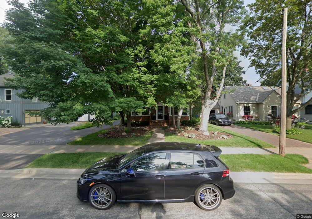
4681 Banning Ave Saint Paul, MN 55110
Estimated Value: $521,684 - $653,000
4
Beds
2
Baths
1,702
Sq Ft
$341/Sq Ft
Est. Value
About This Home
This home is located at 4681 Banning Ave, Saint Paul, MN 55110 and is currently estimated at $579,671, approximately $340 per square foot. 4681 Banning Ave is a home located in Ramsey County with nearby schools including Lakeaires Elementary School, Central Middle School, and Liberty Classical Academy.
Ownership History
Date
Name
Owned For
Owner Type
Purchase Details
Closed on
Sep 28, 2017
Sold by
Weiss Farnan Pamela J
Bought by
Eaves William and Jordon Shirley
Current Estimated Value
Home Financials for this Owner
Home Financials are based on the most recent Mortgage that was taken out on this home.
Original Mortgage
$281,000
Outstanding Balance
$152,697
Interest Rate
3.82%
Mortgage Type
New Conventional
Estimated Equity
$426,974
Create a Home Valuation Report for This Property
The Home Valuation Report is an in-depth analysis detailing your home's value as well as a comparison with similar homes in the area
Home Values in the Area
Average Home Value in this Area
Purchase History
| Date | Buyer | Sale Price | Title Company |
|---|---|---|---|
| Eaves William | $423,454 | Burnet Title |
Source: Public Records
Mortgage History
| Date | Status | Borrower | Loan Amount |
|---|---|---|---|
| Open | Eaves William | $281,000 |
Source: Public Records
Tax History Compared to Growth
Tax History
| Year | Tax Paid | Tax Assessment Tax Assessment Total Assessment is a certain percentage of the fair market value that is determined by local assessors to be the total taxable value of land and additions on the property. | Land | Improvement |
|---|---|---|---|---|
| 2025 | $4,908 | $478,100 | $122,800 | $355,300 |
| 2024 | $4,908 | $444,700 | $122,800 | $321,900 |
| 2023 | $4,908 | $374,600 | $122,800 | $251,800 |
| 2022 | $4,726 | $380,400 | $122,800 | $257,600 |
| 2021 | $4,608 | $356,100 | $122,800 | $233,300 |
| 2020 | $5,268 | $356,100 | $122,800 | $233,300 |
| 2019 | $4,022 | $378,100 | $122,800 | $255,300 |
| 2018 | $3,664 | $315,100 | $122,800 | $192,300 |
| 2017 | $3,562 | $296,600 | $122,800 | $173,800 |
| 2016 | $3,386 | $0 | $0 | $0 |
| 2015 | $3,522 | $258,100 | $112,100 | $146,000 |
| 2014 | $3,408 | $0 | $0 | $0 |
Source: Public Records
Map
Nearby Homes
- 4838 Stewart Ave
- 4890 Cook Ave
- 1988 Florence St
- 1917 Webber St
- 4523 Lincoln Ave
- 1905 Birch Lake Ave
- 2239 10th St
- 4927 Lake Ave
- 4969 Stewart Ave
- 4996 Stewart Ave
- 219X 12th St
- 4987 Campbell Ave
- 5102 Wild Marsh Dr
- 5103 Wild Marsh Dr
- 4864 Woodcrest Rd
- 1770 5th St
- 1744 Birch Lake Ave
- 4969 Georgia Ln
- 1785 Thury Ct
- 2236 Gardenette Dr S