4687 Sparkman Rd Union City, TN 38261
Estimated Value: $307,000 - $337,462
--
Bed
3
Baths
2,778
Sq Ft
$116/Sq Ft
Est. Value
About This Home
This home is located at 4687 Sparkman Rd, Union City, TN 38261 and is currently estimated at $322,487, approximately $116 per square foot. 4687 Sparkman Rd is a home located in Obion County.
Ownership History
Date
Name
Owned For
Owner Type
Purchase Details
Closed on
Nov 30, 2020
Sold by
Bell Barry A and Bell Michele L
Bought by
Bell Barry A and Bell Michele L
Current Estimated Value
Purchase Details
Closed on
Dec 10, 2019
Sold by
Barnes Kenneth Neel
Bought by
Bell Barry and Bell Michele
Purchase Details
Closed on
Feb 7, 2019
Sold by
Patterson Kathy Jean
Bought by
Barnes Robert Lynn and Barnes Mary Kay
Purchase Details
Closed on
Dec 3, 1993
Bought by
Barnes Robert M and Barnes Sue
Purchase Details
Closed on
Mar 15, 1978
Bought by
Barnes Robert M and Barnes Sue
Purchase Details
Closed on
Jan 1, 1978
Create a Home Valuation Report for This Property
The Home Valuation Report is an in-depth analysis detailing your home's value as well as a comparison with similar homes in the area
Home Values in the Area
Average Home Value in this Area
Purchase History
| Date | Buyer | Sale Price | Title Company |
|---|---|---|---|
| Bell Barry A | -- | None Available | |
| Bell Barry | $265,000 | -- | |
| Barnes Robert Lynn | -- | -- | |
| Barnes Kenneth Neel | -- | -- | |
| Barnes Robert M | $18,000 | -- | |
| Barnes Robert M | -- | -- | |
| -- | $7,200 | -- |
Source: Public Records
Tax History Compared to Growth
Tax History
| Year | Tax Paid | Tax Assessment Tax Assessment Total Assessment is a certain percentage of the fair market value that is determined by local assessors to be the total taxable value of land and additions on the property. | Land | Improvement |
|---|---|---|---|---|
| 2025 | $1,077 | $78,025 | $0 | $0 |
| 2024 | $1,077 | $78,025 | $5,275 | $72,750 |
| 2023 | $1,077 | $78,025 | $5,275 | $72,750 |
| 2022 | $804 | $42,300 | $4,250 | $38,050 |
| 2021 | $804 | $42,300 | $4,250 | $38,050 |
| 2020 | $804 | $42,300 | $4,250 | $38,050 |
| 2019 | $929 | $42,300 | $4,250 | $38,050 |
| 2018 | $882 | $46,275 | $8,225 | $38,050 |
| 2017 | $928 | $46,300 | $6,775 | $39,525 |
| 2016 | $928 | $46,300 | $6,775 | $39,525 |
| 2015 | $928 | $46,300 | $6,775 | $39,525 |
| 2014 | $928 | $46,300 | $6,775 | $39,525 |
Source: Public Records
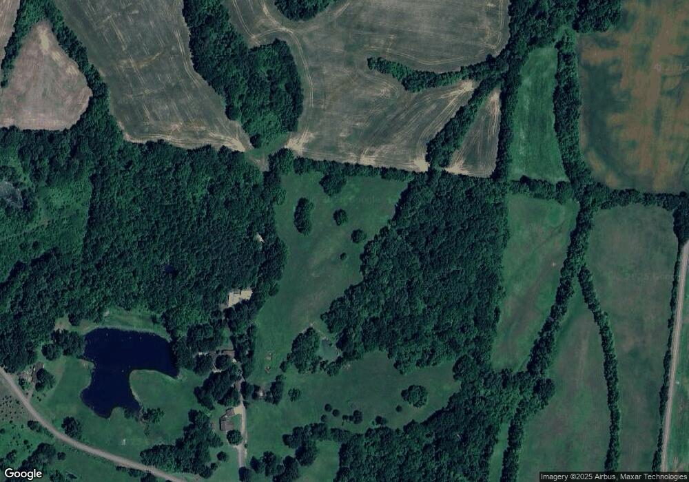
Map
Nearby Homes
- 4478 Crystal Rd
- Tract 1 Walter Whipple Rd
- 560 Todd Thomas Rd
- 0 Burrus Rd
- 317 W Highway 22
- 72 W Highway 22
- 0 Denson Rd
- 3694 Pete Gray Rd
- 1559 Ella Groom Rd
- 3105 Rock Springs Extended Rd
- 1127 W Shawtown Rd
- 2942 Troy Hickman Rd
- 4744 N Clayton Antioch Rd
- 1535 Lattus Ln
- 370 S Thompson St
- 915 Gum St
- 874 Gum St
- 5030 Rogers Marshall Rd
- 3611 W Main St
- 848 Bethel Church Rd
- 4729 Sparkman Rd
- 4709 Mount Olive Rd
- 4765 Sparkman Rd
- 4659 Mount Olive Rd
- 4638 Mount Olive Rd
- 4634 Mount Olive Rd
- 4730 Mount Olive Rd
- 2 Mount Olive Rd Unit 4730
- 4603 Mount Olive Rd
- 4750 Mount Olive Rd
- 4586 Mount Olive Rd
- 4585 Mount Olive Rd
- 4589 Old Troy Hickman Rd
- 4551 Old Troy Hickman Rd
- 4601 Old Troy Hickman Rd
- 4680 Bumpus Rd
- 4564 Old Troy Hickman Rd
- 4560 Old Troy Hickman Rd
- 4780 Mount Olive Rd
- 4544 Crystal Rd