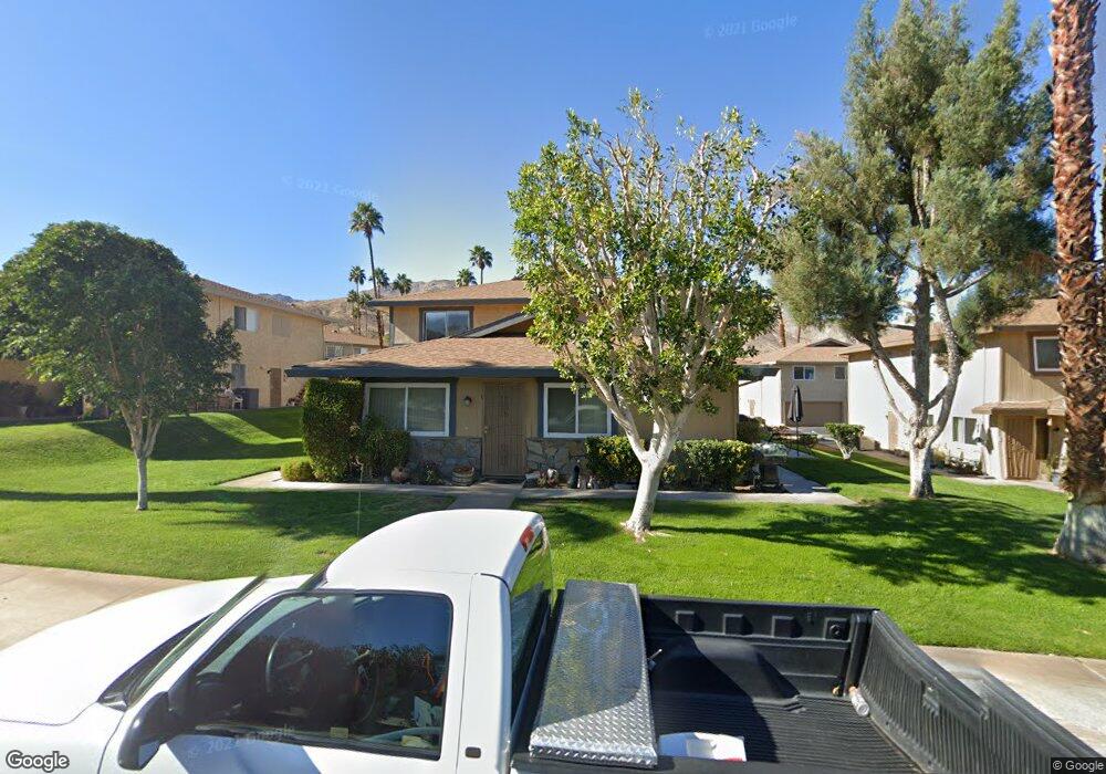
46895 State Highway 74 Unit 1 Palm Desert, CA 92260
Estimated Value: $240,470 - $260,000
2
Beds
1
Bath
810
Sq Ft
$306/Sq Ft
Est. Value
About This Home
This home is located at 46895 State Highway 74 Unit 1, Palm Desert, CA 92260 and is currently estimated at $248,118, approximately $306 per square foot. 46895 State Highway 74 Unit 1 is a home located in Riverside County with nearby schools including La Quinta Middle School, Palm Desert High School, and George Washington Charter School.
Ownership History
Date
Name
Owned For
Owner Type
Purchase Details
Closed on
Dec 6, 2022
Sold by
Green Brian Keith
Bought by
Brian And Graciela Green Family Trust
Current Estimated Value
Purchase Details
Closed on
Apr 3, 2019
Sold by
Green Brian Keith
Bought by
Green Brian Keith
Purchase Details
Closed on
Sep 9, 2009
Sold by
Green Maureen
Bought by
Maureen Green Revocable Trust
Purchase Details
Closed on
Sep 12, 1994
Sold by
Gerdes Frances Obrien
Bought by
Green Maureen
Create a Home Valuation Report for This Property
The Home Valuation Report is an in-depth analysis detailing your home's value as well as a comparison with similar homes in the area
Home Values in the Area
Average Home Value in this Area
Purchase History
| Date | Buyer | Sale Price | Title Company |
|---|---|---|---|
| Brian And Graciela Green Family Trust | -- | -- | |
| Green Brian Keith | -- | None Available | |
| Maureen Green Revocable Trust | -- | None Available | |
| Green Maureen | -- | -- |
Source: Public Records
Tax History Compared to Growth
Tax History
| Year | Tax Paid | Tax Assessment Tax Assessment Total Assessment is a certain percentage of the fair market value that is determined by local assessors to be the total taxable value of land and additions on the property. | Land | Improvement |
|---|---|---|---|---|
| 2025 | $1,909 | $121,346 | $30,333 | $91,013 |
| 2023 | $1,851 | $116,636 | $29,156 | $87,480 |
| 2022 | $1,796 | $114,350 | $28,585 | $85,765 |
| 2021 | $1,746 | $112,109 | $28,025 | $84,084 |
| 2020 | $1,720 | $110,960 | $27,738 | $83,222 |
| 2019 | $1,693 | $37,213 | $11,946 | $25,267 |
| 2018 | $730 | $36,484 | $11,713 | $24,771 |
| 2017 | $719 | $35,770 | $11,484 | $24,286 |
| 2016 | $708 | $35,069 | $11,259 | $23,810 |
| 2015 | $706 | $34,544 | $11,091 | $23,453 |
| 2014 | $699 | $33,870 | $10,875 | $22,995 |
Source: Public Records
Map
Nearby Homes
- 46835 Highway 74 Unit 3
- 72694 Eagle Rd Unit 3
- 72629 Edgehill Dr Unit 2
- 72644 Raven Rd Unit 2
- 72670 Thrush Rd Unit 4
- 72725 Jack Kramer Ln
- 72847 Don Larson Ln
- 134 Vista Valle
- 72869 Don Larson Ln
- 72917 Arthur Ashe Ln
- 72864 Roy Emerson Ln
- 72853 Don Larson Ln
- 72765 Mesquite Ct Unit D
- 72890 Amber St
- 72964 Ken Rosewall Ln
- 72775 Deer Grass Dr
- 72950 Amber St
- 73067 Pancho Segura Ln
- 46183 Highway 74 Unit 20
- 72690 Yucca Ct
- 46895 Highway 74 Unit 3
- 46895 Highway 74 Unit 4
- 46895 Frontage Rd Unit 3
- 46895 Highway 74 Unit 2
- 46895 Highway 74
- 46895 California 74 Unit 4
- 46895 State Highway 74 Unit 4
- 46895 State Highway 74 Unit 3
- 46895 State Highway 74 Unit 2
- 46869 Highway 74 Unit 3
- 46869 Highway 74 Unit 4
- 46869 Frontage Rd Unit 3
- 46869 State Highway 74 Unit 3
- 46869 Frontage Rd
- 46869 Frontage Rd Unit 1
- 46869 State Highway 74 Unit 2
- 46869 State Highway 74 Unit 4
- 46869 State Highway 74 Unit 2
- 46869 State Highway 74 Unit 1
- 46869 Highway 74 #2