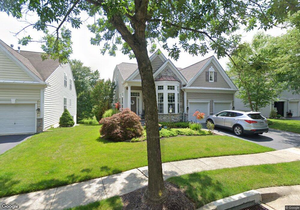
469 Mimosa Cir Kennett Square, PA 19348
East Marlborough Township NeighborhoodEstimated Value: $742,000 - $835,000
3
Beds
3
Baths
3,543
Sq Ft
$224/Sq Ft
Est. Value
About This Home
This home is located at 469 Mimosa Cir, Kennett Square, PA 19348 and is currently estimated at $795,071, approximately $224 per square foot. 469 Mimosa Cir is a home located in Chester County with nearby schools including Unionville Elementary School, Charles F. Patton Middle School, and Unionville High School.
Ownership History
Date
Name
Owned For
Owner Type
Purchase Details
Closed on
Jul 29, 2003
Sold by
Pulte Home Corp Of The Delaware Valley
Bought by
Parker Thomas A and Parker Holly R
Current Estimated Value
Home Financials for this Owner
Home Financials are based on the most recent Mortgage that was taken out on this home.
Original Mortgage
$80,000
Outstanding Balance
$36,252
Interest Rate
6.02%
Mortgage Type
Purchase Money Mortgage
Estimated Equity
$758,819
Create a Home Valuation Report for This Property
The Home Valuation Report is an in-depth analysis detailing your home's value as well as a comparison with similar homes in the area
Home Values in the Area
Average Home Value in this Area
Purchase History
| Date | Buyer | Sale Price | Title Company |
|---|---|---|---|
| Parker Thomas A | $432,940 | Lawyers Title Insurance Corp |
Source: Public Records
Mortgage History
| Date | Status | Borrower | Loan Amount |
|---|---|---|---|
| Open | Parker Thomas A | $80,000 |
Source: Public Records
Tax History Compared to Growth
Tax History
| Year | Tax Paid | Tax Assessment Tax Assessment Total Assessment is a certain percentage of the fair market value that is determined by local assessors to be the total taxable value of land and additions on the property. | Land | Improvement |
|---|---|---|---|---|
| 2025 | $1,604 | $238,220 | $56,290 | $181,930 |
| 2024 | $1,604 | $238,220 | $56,290 | $181,930 |
| 2023 | $9,331 | $238,220 | $56,290 | $181,930 |
| 2022 | $9,196 | $238,220 | $56,290 | $181,930 |
| 2021 | $1,604 | $238,220 | $56,290 | $181,930 |
| 2020 | $1,291 | $238,220 | $56,290 | $181,930 |
| 2019 | $1,561 | $238,220 | $56,290 | $181,930 |
| 2018 | $1,561 | $238,220 | $56,290 | $181,930 |
| 2017 | $1,561 | $238,220 | $56,290 | $181,930 |
| 2016 | $945 | $238,220 | $56,290 | $181,930 |
| 2015 | $945 | $238,220 | $56,290 | $181,930 |
| 2014 | $945 | $238,220 | $56,290 | $181,930 |
Source: Public Records
Map
Nearby Homes
- 505 Wisteria Dr
- 454 Larkspur Dr
- 213 Katsura Dr
- 347 Astilbe Dr
- 217 Kirkbrae Rd
- 113 Lantana Dr
- 323 E Street Rd
- 765 Folly Hill Rd
- 327 E Street Rd
- 312 Riverbirch Cir Unit 802
- 102 Manor Dr
- 2039-2035 Lenape Unionville Rd
- 617 Unionville Rd
- 736 Cascade Way
- 804 Waverly Rd
- 280 Cherry Ln Unit 34
- 326 Redbud Ln
- 24 Radnor Ln
- 191 W Street Rd
- 1776 W Doe Run Rd