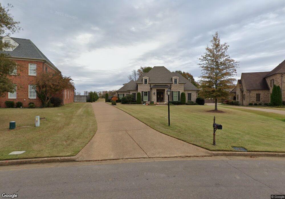
4692 Robinson Loop E Olive Branch, MS 38654
Pleasant Hill NeighborhoodEstimated Value: $561,000 - $685,000
3
Beds
--
Bath
4,222
Sq Ft
$148/Sq Ft
Est. Value
About This Home
This home is located at 4692 Robinson Loop E, Olive Branch, MS 38654 and is currently estimated at $625,891, approximately $148 per square foot. 4692 Robinson Loop E is a home with nearby schools including Pleasant Hill Elementary School, DeSoto Central Middle School, and DeSoto Central High School.
Ownership History
Date
Name
Owned For
Owner Type
Purchase Details
Closed on
Dec 20, 2013
Sold by
Bridgforth Homes Inc
Bought by
Adair Joseph and Adair Michelle Lilley
Current Estimated Value
Home Financials for this Owner
Home Financials are based on the most recent Mortgage that was taken out on this home.
Original Mortgage
$305,000
Outstanding Balance
$226,395
Interest Rate
4.19%
Mortgage Type
New Conventional
Estimated Equity
$399,496
Purchase Details
Closed on
Oct 10, 2013
Sold by
Pleasant Hill Land & Development Co Inc
Bought by
Bridgforth Homes Inc
Home Financials for this Owner
Home Financials are based on the most recent Mortgage that was taken out on this home.
Original Mortgage
$264,984
Interest Rate
4.53%
Mortgage Type
Credit Line Revolving
Create a Home Valuation Report for This Property
The Home Valuation Report is an in-depth analysis detailing your home's value as well as a comparison with similar homes in the area
Home Values in the Area
Average Home Value in this Area
Purchase History
| Date | Buyer | Sale Price | Title Company |
|---|---|---|---|
| Adair Joseph | -- | None Available | |
| Bridgforth Homes Inc | -- | None Available |
Source: Public Records
Mortgage History
| Date | Status | Borrower | Loan Amount |
|---|---|---|---|
| Open | Adair Joseph | $305,000 | |
| Previous Owner | Bridgforth Homes Inc | $264,984 |
Source: Public Records
Tax History
| Year | Tax Paid | Tax Assessment Tax Assessment Total Assessment is a certain percentage of the fair market value that is determined by local assessors to be the total taxable value of land and additions on the property. | Land | Improvement |
|---|---|---|---|---|
| 2025 | $5,683 | $51,671 | $4,600 | $47,071 |
| 2024 | $4,689 | $36,553 | $4,600 | $31,953 |
| 2023 | $4,689 | $36,553 | $0 | $0 |
| 2022 | $4,689 | $36,553 | $4,600 | $31,953 |
| 2021 | $4,358 | $34,126 | $4,600 | $29,526 |
| 2020 | $2,876 | $31,763 | $4,600 | $27,163 |
| 2019 | $2,876 | $31,763 | $4,600 | $27,163 |
| 2017 | $2,837 | $57,704 | $31,152 | $26,552 |
| 2016 | $2,837 | $31,152 | $4,600 | $26,552 |
| 2015 | $3,137 | $57,704 | $31,152 | $26,552 |
| 2014 | $2,837 | $31,152 | $0 | $0 |
| 2013 | $572 | $5,175 | $0 | $0 |
Source: Public Records
Map
Nearby Homes
- 4291 S Bolivar Trail
- 4285 S Bolivar Trail
- 4223 S Bolivar Trail
- 4209 S Bolivar Trail
- 4435 Parish Row
- 4183 Robinson Crossing
- 4426 Macon Cove
- 179 Hayes Cove
- 4342 Robinson Loop E
- 4245 Lundy Bend W
- 3929 Summer Pointe Dr
- 5137 Meadow Pointe Dr
- 5035 Wethersfield Blvd
- 4912 Jessica Dr
- 4703 W Dublin
- 5518 Bunyan Hill Dr
- 4087 Jessica Dr
- 4933 Margarette Cir W
- 0 Summers Creek Rd
- 4689 E Dublin
- 4680 Robinson Loop E
- 4220 Robinson Loop N
- 4257 Bolivar Cove
- 4245 Bolivar Cove
- 4303 S Bolivar Trail
- 4212 Robinson Loop N
- 4662 Robinson Loop E
- 4231 Bolivar Cove
- 4679 Robinson Loop E
- 4311 S Bolivar Trail
- 4423 Woodgate Ln
- 4463 Woodgate Ln
- 4399 Woodgate Ln
- 4240 Robinson Crossing
- 4445 Woodgate Ln
- 4194 Robinson Loop N
- 4648 Robinson Loop E
- 4296 Bolivar Trail S
- 4653 Robinson Loop E
- 4215 S Bolivar Trail
Your Personal Tour Guide
Ask me questions while you tour the home.