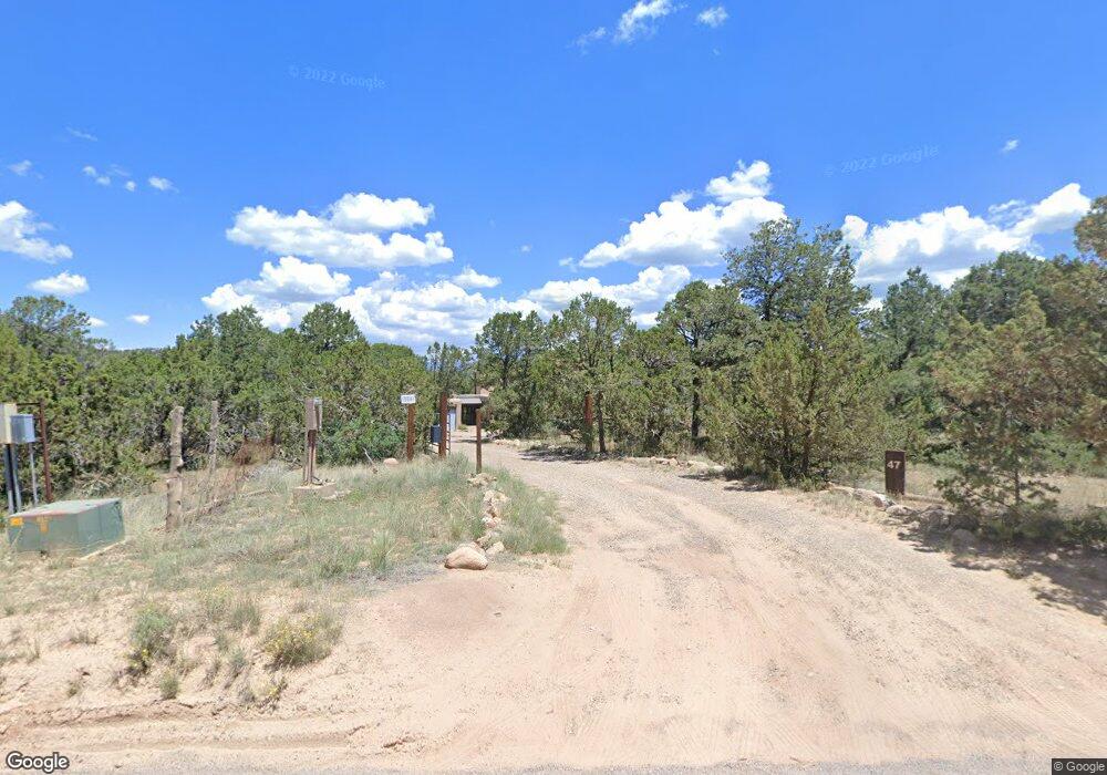
47 Apache Ridge Rd Santa Fe, NM 87505
Cañoncito NeighborhoodEstimated Value: $769,000 - $1,416,000
2
Beds
2
Baths
4,679
Sq Ft
$236/Sq Ft
Est. Value
About This Home
This home is located at 47 Apache Ridge Rd, Santa Fe, NM 87505 and is currently estimated at $1,104,802, approximately $236 per square foot. 47 Apache Ridge Rd is a home located in Santa Fe County with nearby schools including El Dorado Community School, Santa Fe High School, and Children's Garden Montessori School.
Ownership History
Date
Name
Owned For
Owner Type
Purchase Details
Closed on
May 17, 2007
Sold by
Hockmuth Donald E and Leach Carol
Bought by
Smith Michael C and Lalevic Nina
Current Estimated Value
Home Financials for this Owner
Home Financials are based on the most recent Mortgage that was taken out on this home.
Original Mortgage
$220,000
Outstanding Balance
$132,432
Interest Rate
6.16%
Mortgage Type
Purchase Money Mortgage
Estimated Equity
$972,370
Purchase Details
Closed on
Jul 30, 2002
Sold by
Leach Carol
Bought by
Hockmuth Donald E and Leach Carol
Home Financials for this Owner
Home Financials are based on the most recent Mortgage that was taken out on this home.
Original Mortgage
$246,000
Interest Rate
12%
Create a Home Valuation Report for This Property
The Home Valuation Report is an in-depth analysis detailing your home's value as well as a comparison with similar homes in the area
Home Values in the Area
Average Home Value in this Area
Purchase History
| Date | Buyer | Sale Price | Title Company |
|---|---|---|---|
| Smith Michael C | -- | St&E | |
| Hockmuth Donald E | -- | -- |
Source: Public Records
Mortgage History
| Date | Status | Borrower | Loan Amount |
|---|---|---|---|
| Open | Smith Michael C | $220,000 | |
| Previous Owner | Hockmuth Donald E | $246,000 |
Source: Public Records
Tax History
| Year | Tax Paid | Tax Assessment Tax Assessment Total Assessment is a certain percentage of the fair market value that is determined by local assessors to be the total taxable value of land and additions on the property. | Land | Improvement |
|---|---|---|---|---|
| 2025 | $3,690 | $538,095 | $27,396 | $510,699 |
| 2024 | $3,612 | $522,424 | $26,599 | $495,825 |
| 2023 | $3,615 | $507,209 | $25,825 | $481,384 |
| 2022 | $3,522 | $492,437 | $25,073 | $467,364 |
| 2021 | $3,452 | $159,365 | $8,114 | $151,251 |
| 2020 | $3,375 | $154,723 | $7,877 | $146,846 |
| 2019 | $3,307 | $150,217 | $7,648 | $142,569 |
| 2018 | $3,220 | $145,842 | $7,425 | $138,417 |
| 2017 | $3,108 | $141,595 | $7,209 | $134,386 |
| 2016 | $2,917 | $137,471 | $7,000 | $130,471 |
| 2015 | $2,859 | $133,467 | $7,000 | $126,467 |
| 2014 | $3,033 | $144,822 | $6,993 | $137,829 |
Source: Public Records
Map
Nearby Homes
- 71 Apache Ridge Rd
- 4 Apache Ridge Rd
- 26 Apache Creek Rd
- LOTS B-E, 1-5 Lone Pine Ridge
- 12 Camino Valle
- 20 Goathead Ct
- 24 Goathead Ct
- 0 La Posta Way Tract 7-2 Unit 202505345
- 0 La Posta Way Unit Tract 7-1
- 50 Alteza
- 7 W Longview Dr
- 20 W Longview Dr
- 4 High Desert Vista
- 24 W Longview Dr
- 0 Calle Canoncito - Parcel 1
- 66 Camino Dimitrio
- 0 Unit 1087553
- 40 Camino Dimitrio
- 4 Red Hills Ln
- 0 Apache Ridge Unit 201603631
- 0 Apache Ridge Unit 201603634
- 0 Apache Ridge Unit 201901372
- 0 Apache Ridge Unit 201901373
- 0 Apache Ridge Unit 201904438
- 0 Apache Ridge Unit 109275
- 45 Apache Ridge Rd
- 40 Apache Ridge Rd
- 43 Apache Ridge Rd
- 39 Apache Ridge Rd
- 15 Wilowa Ln
- 38 Apache Ridge Rd
- 56 Apache Ridge Rd
- 19 Wilowa Ln
- 60 Apache Ridge Rd
- 63 Apache Ridge Rd
- 62 Apache Ridge Rd
- 31 Apache Ridge Rd
- 33 Apache Ridge Rd Unit B
- 33 Apache Ridge Rd
Your Personal Tour Guide
Ask me questions while you tour the home.