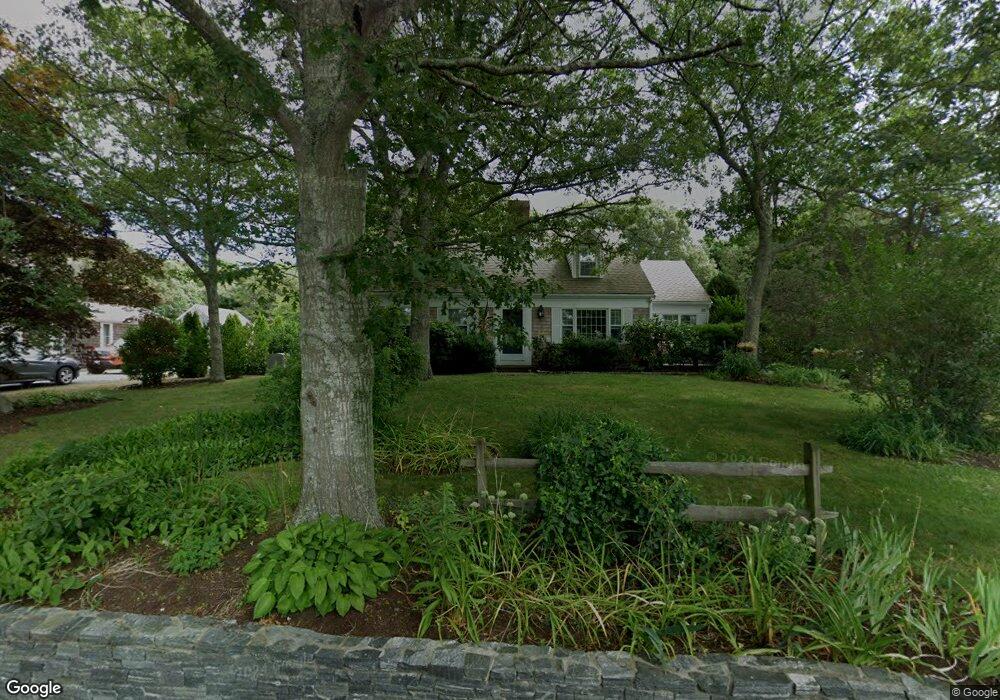
47 Gibson Rd Orleans, MA 02653
Estimated Value: $1,035,426 - $1,434,000
4
Beds
3
Baths
1,788
Sq Ft
$736/Sq Ft
Est. Value
About This Home
This home is located at 47 Gibson Rd, Orleans, MA 02653 and is currently estimated at $1,316,107, approximately $736 per square foot. 47 Gibson Rd is a home located in Barnstable County with nearby schools including Orleans Elementary School, Nauset Regional Middle School, and Nauset Regional High School.
Ownership History
Date
Name
Owned For
Owner Type
Purchase Details
Closed on
Sep 20, 2024
Sold by
Courneen Fiegel E and Courneen Carol A
Bought by
Figel Courneen House and Figel Fiegel
Current Estimated Value
Purchase Details
Closed on
Dec 6, 1991
Sold by
Campbell Edwin Cooley
Bought by
Fiegel E Mark and Courneen Carol A
Home Financials for this Owner
Home Financials are based on the most recent Mortgage that was taken out on this home.
Original Mortgage
$180,000
Interest Rate
8.82%
Mortgage Type
Purchase Money Mortgage
Create a Home Valuation Report for This Property
The Home Valuation Report is an in-depth analysis detailing your home's value as well as a comparison with similar homes in the area
Home Values in the Area
Average Home Value in this Area
Purchase History
| Date | Buyer | Sale Price | Title Company |
|---|---|---|---|
| Figel Courneen House | -- | None Available | |
| Figel Courneen House | -- | None Available | |
| Fiegel E Mark | $225,000 | -- | |
| Courneen Fiegel E | $225,000 | -- |
Source: Public Records
Mortgage History
| Date | Status | Borrower | Loan Amount |
|---|---|---|---|
| Previous Owner | Courneen Fiegel E | $180,000 |
Source: Public Records
Tax History Compared to Growth
Tax History
| Year | Tax Paid | Tax Assessment Tax Assessment Total Assessment is a certain percentage of the fair market value that is determined by local assessors to be the total taxable value of land and additions on the property. | Land | Improvement |
|---|---|---|---|---|
| 2025 | $6,198 | $993,300 | $525,100 | $468,200 |
| 2024 | $5,965 | $930,500 | $486,100 | $444,400 |
| 2023 | $5,069 | $813,700 | $397,200 | $416,500 |
| 2022 | $4,869 | $676,200 | $385,200 | $291,000 |
| 2021 | $4,869 | $621,000 | $381,400 | $239,600 |
| 2020 | $4,660 | $616,400 | $381,400 | $235,000 |
| 2019 | $4,471 | $604,200 | $370,700 | $233,500 |
| 2018 | $3,271 | $581,200 | $363,600 | $217,600 |
| 2017 | $3,633 | $573,900 | $363,600 | $210,300 |
| 2016 | $3,532 | $546,700 | $340,600 | $206,100 |
| 2015 | $3,433 | $534,800 | $333,900 | $200,900 |
Source: Public Records
Map
Nearby Homes
- 4 Asas Landing
- 60 Gibson Rd
- 241 Tonset Rd
- 40 Rogers Ln
- 320 State Hwy
- 150 Old State Hwy Unit Compound
- 45 Southeast St
- 758 State Hwy
- 3 Bramblewood Ln
- 15 Tanglewood Terrace
- 53 Great Oak Rd
- 6 Snow Way
- 993 Intonti Way
- 995 Intonti Way
- 18 Cole Place
- 19 Nauset Farms Private Way
- 2 Seaview Rd
- 2 Little Cove Ln
- 46 Freeman Ln