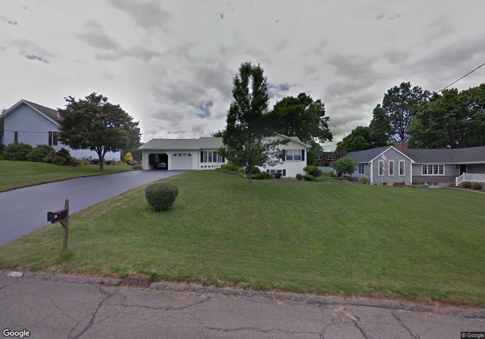
47 Kimball Rd Wethersfield, CT 06109
Estimated Value: $387,000 - $473,000
3
Beds
3
Baths
1,869
Sq Ft
$238/Sq Ft
Est. Value
About This Home
This home is located at 47 Kimball Rd, Wethersfield, CT 06109 and is currently estimated at $445,450, approximately $238 per square foot. 47 Kimball Rd is a home located in Hartford County with nearby schools including Highcrest School, Silas Deane Middle School, and Wethersfield High School.
Ownership History
Date
Name
Owned For
Owner Type
Purchase Details
Closed on
Jun 29, 2021
Sold by
Gencarelli Rachel L
Bought by
Cyr Daniel
Current Estimated Value
Home Financials for this Owner
Home Financials are based on the most recent Mortgage that was taken out on this home.
Original Mortgage
$247,000
Outstanding Balance
$224,114
Interest Rate
2.9%
Mortgage Type
Purchase Money Mortgage
Estimated Equity
$221,336
Purchase Details
Closed on
Nov 29, 2018
Sold by
Matiash Sophia and Matiash Sofia
Bought by
Matiash Michael and Sorano Mary I
Create a Home Valuation Report for This Property
The Home Valuation Report is an in-depth analysis detailing your home's value as well as a comparison with similar homes in the area
Home Values in the Area
Average Home Value in this Area
Purchase History
| Date | Buyer | Sale Price | Title Company |
|---|---|---|---|
| Cyr Daniel | $265,000 | None Available | |
| Matiash Michael | -- | -- | |
| Matiash Michael | -- | -- |
Source: Public Records
Mortgage History
| Date | Status | Borrower | Loan Amount |
|---|---|---|---|
| Open | Cyr Daniel | $247,000 |
Source: Public Records
Tax History Compared to Growth
Tax History
| Year | Tax Paid | Tax Assessment Tax Assessment Total Assessment is a certain percentage of the fair market value that is determined by local assessors to be the total taxable value of land and additions on the property. | Land | Improvement |
|---|---|---|---|---|
| 2025 | $12,463 | $302,360 | $90,850 | $211,510 |
| 2024 | $8,511 | $196,920 | $74,940 | $121,980 |
| 2023 | $8,227 | $196,920 | $74,940 | $121,980 |
| 2022 | $8,089 | $196,920 | $74,940 | $121,980 |
| 2021 | $8,009 | $196,920 | $74,940 | $121,980 |
| 2020 | $8,013 | $196,920 | $74,940 | $121,980 |
| 2019 | $7,891 | $193,680 | $74,940 | $118,740 |
| 2018 | $7,997 | $196,100 | $72,800 | $123,300 |
| 2017 | $7,799 | $196,100 | $72,800 | $123,300 |
| 2016 | $7,558 | $196,100 | $72,800 | $123,300 |
| 2015 | $7,489 | $196,100 | $72,800 | $123,300 |
| 2014 | $7,205 | $196,100 | $72,800 | $123,300 |
Source: Public Records
Map
Nearby Homes
- 34 Clayton Dr
- 37 Two Stone Dr
- 88 Highland St
- 155 Prospect St
- 211 Fairlane Dr
- 4 Lexington Ct
- 373 Prospect St
- 887 Cloverdale Cir
- 19 Jacob Dr
- 206 Middletown Ave
- 87 Dale Rd
- 268 Fox Hill Rd
- 1610 Silas Deane Hwy
- 140 Edward St
- 177 Spring St Unit 177
- 325 Fox Hill Rd
- 43 Dudley Rd
- 159 Spring St Unit 159
- 122 Dix Rd
- 0 Old Post Rd