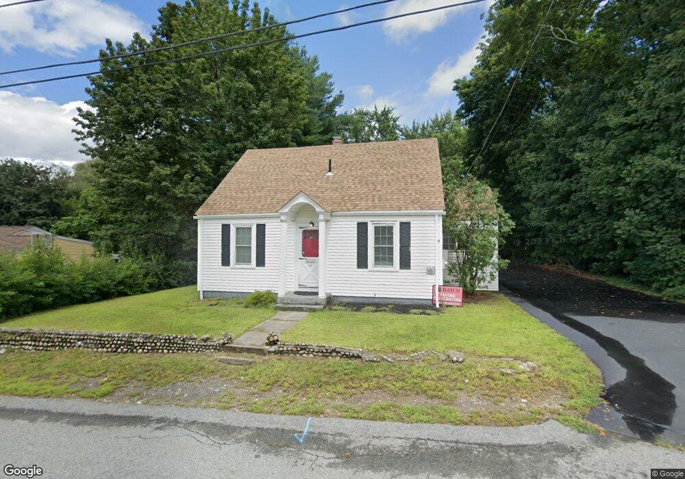
47 Lambert Ave Woonsocket, RI 02895
East Woonsocket NeighborhoodEstimated Value: $414,413 - $464,000
3
Beds
2
Baths
1,644
Sq Ft
$264/Sq Ft
Est. Value
About This Home
This home is located at 47 Lambert Ave, Woonsocket, RI 02895 and is currently estimated at $433,353, approximately $263 per square foot. 47 Lambert Ave is a home located in Providence County with nearby schools including Woonsocket High School and Good Shepherd Catholic School.
Ownership History
Date
Name
Owned For
Owner Type
Purchase Details
Closed on
Apr 27, 2010
Sold by
Allard Edgar
Bought by
Luchuk Michael A
Current Estimated Value
Home Financials for this Owner
Home Financials are based on the most recent Mortgage that was taken out on this home.
Original Mortgage
$192,940
Outstanding Balance
$126,491
Interest Rate
5%
Mortgage Type
Purchase Money Mortgage
Estimated Equity
$306,862
Create a Home Valuation Report for This Property
The Home Valuation Report is an in-depth analysis detailing your home's value as well as a comparison with similar homes in the area
Home Values in the Area
Average Home Value in this Area
Purchase History
| Date | Buyer | Sale Price | Title Company |
|---|---|---|---|
| Luchuk Michael A | $196,500 | -- | |
| Luchuk Michael A | $196,500 | -- |
Source: Public Records
Mortgage History
| Date | Status | Borrower | Loan Amount |
|---|---|---|---|
| Open | Luchuk Michael A | $192,940 | |
| Closed | Luchuk Michael A | $192,940 |
Source: Public Records
Tax History
| Year | Tax Paid | Tax Assessment Tax Assessment Total Assessment is a certain percentage of the fair market value that is determined by local assessors to be the total taxable value of land and additions on the property. | Land | Improvement |
|---|---|---|---|---|
| 2025 | $4,339 | $386,400 | $107,800 | $278,600 |
| 2024 | $3,984 | $274,000 | $87,900 | $186,100 |
| 2023 | $3,831 | $274,000 | $87,900 | $186,100 |
| 2022 | $3,831 | $274,000 | $87,900 | $186,100 |
| 2021 | $4,458 | $187,700 | $70,500 | $117,200 |
| 2020 | $4,505 | $187,700 | $70,500 | $117,200 |
| 2018 | $4,520 | $187,700 | $70,500 | $117,200 |
| 2017 | $4,792 | $159,200 | $65,200 | $94,000 |
| 2016 | $5,069 | $159,200 | $65,200 | $94,000 |
| 2015 | $5,824 | $159,200 | $65,200 | $94,000 |
| 2014 | $4,023 | $159,900 | $71,800 | $88,100 |
Source: Public Records
Map
Nearby Homes
- 65 Lambert Ave
- 961 Mendon Rd
- 78 Langevin St
- 50 Lambert Ave
- 941 Mendon Rd
- 62 Langevin St
- 999 Mendon Rd
- 927 Mendon Rd
- 1 Lambert Ave
- 76 Lambert Ave
- 103 Lambert Ave
- 100 Lambert Ave
- 1027 Mendon Rd
- 0 Papineau Ave Unit 963011
- 903 Mendon Rd
- 11 Bourassa Ave
- 958 Mendon Rd
- 12 Papineau Ave
- 10 Bourassa Ave
- 25 Langevin St
Your Personal Tour Guide
Ask me questions while you tour the home.