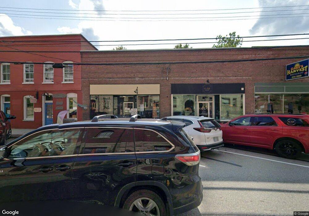
47 Main St Wilton, NH 03086
Estimated Value: $385,000 - $590,000
2
Beds
2
Baths
1,758
Sq Ft
$257/Sq Ft
Est. Value
About This Home
This home is located at 47 Main St, Wilton, NH 03086 and is currently estimated at $451,901, approximately $257 per square foot. 47 Main St is a home with nearby schools including Florence Rideout Elementary School, Wilton-Lyndeborough Cooperative Middle School, and Wilton-Lyndeborough Cooperative High School.
Ownership History
Date
Name
Owned For
Owner Type
Purchase Details
Closed on
Aug 31, 2020
Sold by
Perkins Hannah C
Bought by
Perkins Hannah C and Simpson Timothy K
Current Estimated Value
Purchase Details
Closed on
May 8, 2018
Sold by
47 Main Street Llc
Bought by
Perkins Hannah C
Home Financials for this Owner
Home Financials are based on the most recent Mortgage that was taken out on this home.
Original Mortgage
$190,000
Interest Rate
4.45%
Mortgage Type
New Conventional
Purchase Details
Closed on
Feb 27, 2017
Sold by
Worcester Cynthia
Bought by
47 Main Street Llc
Create a Home Valuation Report for This Property
The Home Valuation Report is an in-depth analysis detailing your home's value as well as a comparison with similar homes in the area
Home Values in the Area
Average Home Value in this Area
Purchase History
| Date | Buyer | Sale Price | Title Company |
|---|---|---|---|
| Perkins Hannah C | -- | None Available | |
| Perkins Hannah C | -- | -- | |
| 47 Main Street Llc | -- | -- |
Source: Public Records
Mortgage History
| Date | Status | Borrower | Loan Amount |
|---|---|---|---|
| Previous Owner | Perkins Hannah C | $190,000 |
Source: Public Records
Tax History Compared to Growth
Tax History
| Year | Tax Paid | Tax Assessment Tax Assessment Total Assessment is a certain percentage of the fair market value that is determined by local assessors to be the total taxable value of land and additions on the property. | Land | Improvement |
|---|---|---|---|---|
| 2024 | $7,565 | $304,200 | $81,200 | $223,000 |
| 2023 | $6,753 | $304,200 | $81,200 | $223,000 |
| 2022 | $6,285 | $304,200 | $81,200 | $223,000 |
| 2021 | $5,847 | $304,200 | $81,200 | $223,000 |
| 2020 | $6,451 | $219,500 | $60,300 | $159,200 |
| 2019 | $6,374 | $219,500 | $60,300 | $159,200 |
| 2018 | $6,137 | $213,400 | $60,300 | $153,100 |
| 2017 | $4,241 | $156,100 | $63,500 | $92,600 |
| 2016 | $4,530 | $172,000 | $79,400 | $92,600 |
| 2015 | $5,368 | $203,800 | $74,300 | $129,500 |
| 2014 | $5,258 | $203,800 | $74,300 | $129,500 |
| 2013 | $5,303 | $203,800 | $74,300 | $129,500 |
Source: Public Records
Map
Nearby Homes
- 8 Maple St
- 10 Mill St
- 27 Island St
- 134 Falcon Ridge Rd Unit 23
- 81 Abbot Hill Acres
- 88 McGettigan Rd Unit 88-6-1
- F-88-11 Aria Hill Dr
- F-88-12 Aria Hill Dr
- F-88-10 Aria Hill Dr
- F-88-7 Aria Hill Dr
- Lot F-88-9 Aria Hill Dr
- F/88-5 McGettigan Rd
- F/88-4 McGettigan Rd
- 545 Elm St Unit 34
- Lots 4 & 7 Gibbons & Robbins Rd
- 0 Marden Rd
- 30 Holden Ln
- 59 Goldsmith Rd
- 131 Homestead Cir
- 60 Goldsmith Rd