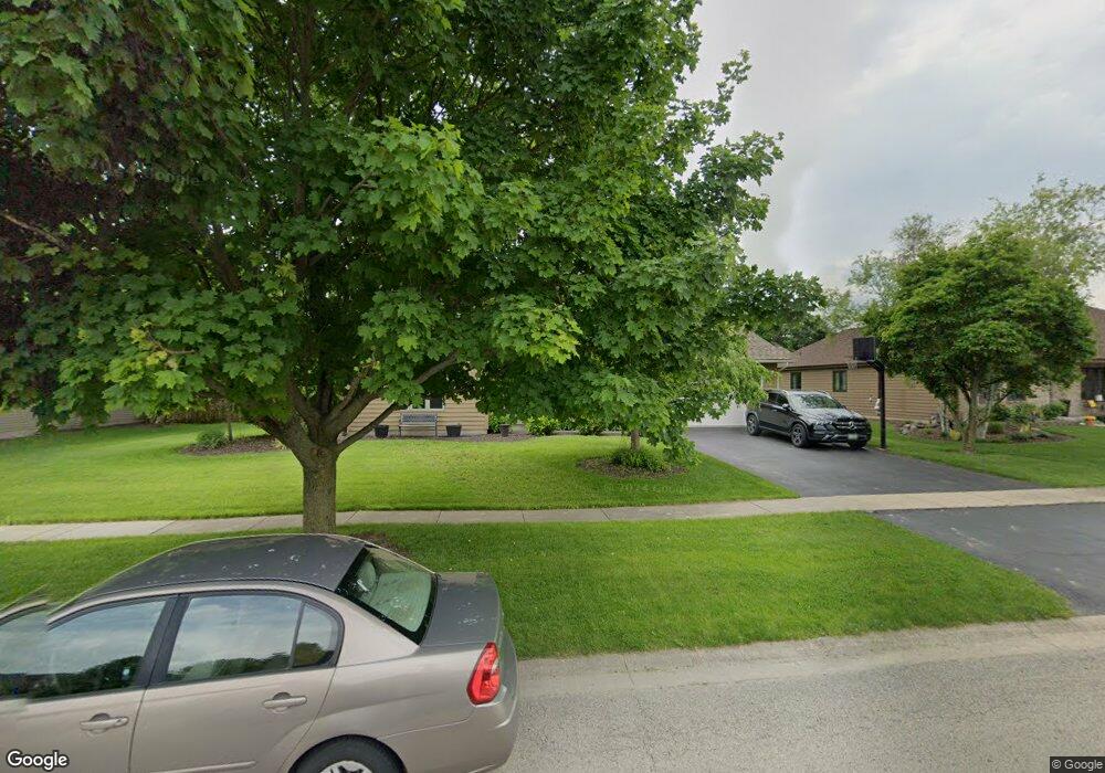
47 Robert Rd Oswego, IL 60543
South Oswego NeighborhoodEstimated Value: $459,326 - $517,000
4
Beds
3
Baths
2,404
Sq Ft
$202/Sq Ft
Est. Value
About This Home
This home is located at 47 Robert Rd, Oswego, IL 60543 and is currently estimated at $485,082, approximately $201 per square foot. 47 Robert Rd is a home located in Kendall County with nearby schools including Southbury Elementary School, Traughber Junior High School, and Oswego High School.
Ownership History
Date
Name
Owned For
Owner Type
Purchase Details
Closed on
Jun 29, 2001
Sold by
Pieper Ronald R and Pieper Karen E
Bought by
Sommerfeld David M and Sommerfeld Katy A
Current Estimated Value
Home Financials for this Owner
Home Financials are based on the most recent Mortgage that was taken out on this home.
Original Mortgage
$228,907
Outstanding Balance
$88,599
Interest Rate
7.2%
Mortgage Type
FHA
Estimated Equity
$396,483
Purchase Details
Closed on
Nov 1, 1993
Bought by
Pieper Ronald R and Pieper Karen E
Create a Home Valuation Report for This Property
The Home Valuation Report is an in-depth analysis detailing your home's value as well as a comparison with similar homes in the area
Home Values in the Area
Average Home Value in this Area
Purchase History
| Date | Buyer | Sale Price | Title Company |
|---|---|---|---|
| Sommerfeld David M | $232,500 | -- | |
| Pieper Ronald R | $40,000 | -- |
Source: Public Records
Mortgage History
| Date | Status | Borrower | Loan Amount |
|---|---|---|---|
| Open | Sommerfeld David M | $228,907 | |
| Closed | Pieper Ronald R | -- |
Source: Public Records
Tax History
| Year | Tax Paid | Tax Assessment Tax Assessment Total Assessment is a certain percentage of the fair market value that is determined by local assessors to be the total taxable value of land and additions on the property. | Land | Improvement |
|---|---|---|---|---|
| 2024 | $9,786 | $127,609 | $29,509 | $98,100 |
| 2023 | $8,896 | $114,963 | $26,585 | $88,378 |
| 2022 | $8,896 | $104,512 | $24,168 | $80,344 |
| 2021 | $9,026 | $102,463 | $23,694 | $78,769 |
| 2020 | $9,115 | $102,463 | $23,694 | $78,769 |
| 2019 | $8,969 | $99,433 | $23,694 | $75,739 |
| 2018 | $9,041 | $97,197 | $23,161 | $74,036 |
| 2017 | $8,966 | $93,458 | $22,270 | $71,188 |
| 2016 | $8,590 | $88,586 | $21,109 | $67,477 |
| 2015 | $8,462 | $83,572 | $19,914 | $63,658 |
| 2014 | -- | $80,358 | $19,148 | $61,210 |
| 2013 | -- | $81,169 | $19,341 | $61,828 |
Source: Public Records
Map
Nearby Homes
- 734 Alberta Ave
- 740 Alberta Ave
- 621 Mansfield Way
- 401 Bower Ln
- 739 Alberta Ave
- 215 Willington Way
- 704 Pomfret Ct
- 420 Bower Ln
- 446 Bower Ln
- 448 Bower Ln
- 1444 Vintage Dr
- 102 Piper Glen Ave
- 202 Piper Glen Ave
- 228 Piper Glen Ave
- 226 Piper Glen Ave
- 860 Preston Ln
- 858 Preston Ln
- 422 Bower Ln
- 856 Preston Ln
- 737 Alberta Ave
Your Personal Tour Guide
Ask me questions while you tour the home.