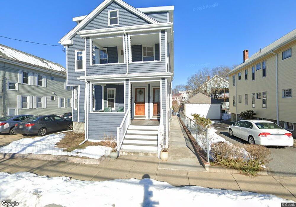
47 Varnum St Unit 49 Arlington, MA 02474
East Arlington NeighborhoodEstimated Value: $1,076,000 - $1,350,563
4
Beds
2
Baths
2,210
Sq Ft
$566/Sq Ft
Est. Value
About This Home
This home is located at 47 Varnum St Unit 49, Arlington, MA 02474 and is currently estimated at $1,250,641, approximately $565 per square foot. 47 Varnum St Unit 49 is a home located in Middlesex County with nearby schools including Hardy Elementary School, Ottoson Middle School, and Arlington High School.
Ownership History
Date
Name
Owned For
Owner Type
Purchase Details
Closed on
Dec 1, 1997
Sold by
Kibit Theodore J and Kibit Lorraine T
Bought by
Pereira Helen P and Pereira Luis F
Current Estimated Value
Home Financials for this Owner
Home Financials are based on the most recent Mortgage that was taken out on this home.
Original Mortgage
$122,000
Outstanding Balance
$20,695
Interest Rate
7.26%
Mortgage Type
Purchase Money Mortgage
Estimated Equity
$1,229,946
Create a Home Valuation Report for This Property
The Home Valuation Report is an in-depth analysis detailing your home's value as well as a comparison with similar homes in the area
Home Values in the Area
Average Home Value in this Area
Purchase History
| Date | Buyer | Sale Price | Title Company |
|---|---|---|---|
| Pereira Helen P | $242,000 | -- |
Source: Public Records
Mortgage History
| Date | Status | Borrower | Loan Amount |
|---|---|---|---|
| Open | Pereira Helen P | $122,000 |
Source: Public Records
Tax History Compared to Growth
Tax History
| Year | Tax Paid | Tax Assessment Tax Assessment Total Assessment is a certain percentage of the fair market value that is determined by local assessors to be the total taxable value of land and additions on the property. | Land | Improvement |
|---|---|---|---|---|
| 2025 | $12,068 | $1,120,500 | $591,200 | $529,300 |
| 2024 | $11,153 | $1,053,200 | $562,800 | $490,400 |
| 2023 | $11,162 | $995,700 | $471,900 | $523,800 |
| 2022 | $11,124 | $974,100 | $454,800 | $519,300 |
| 2021 | $10,789 | $951,400 | $454,800 | $496,600 |
| 2020 | $10,525 | $951,600 | $454,800 | $496,800 |
| 2019 | $9,623 | $854,600 | $483,200 | $371,400 |
| 2018 | $8,781 | $723,900 | $352,500 | $371,400 |
| 2017 | $8,242 | $656,200 | $307,000 | $349,200 |
| 2016 | $7,817 | $610,700 | $261,500 | $349,200 |
| 2015 | $7,702 | $568,400 | $255,800 | $312,600 |
Source: Public Records
Map
Nearby Homes
- 86 Chandler St Unit 86
- 128 Thorndike St Unit 2
- 35 Windsor St Unit 1
- 137-139 Thorndike St Unit 2
- 215 Massachusetts Ave Unit 19 (34)
- 15 Kassul Park
- 45 Teel St
- 12 Cottage Ave
- 62-64 Waldo Rd
- 65 Marathon St Unit L
- 7 Newman St
- 23 Brookford St
- 23 Brookford St Unit 2
- 23 Brookford St Unit 1
- 54-54A Mary St Unit 1
- 31 Pondview Rd Unit 33
- 11 Marion Rd Unit 2
- 22 Hamilton Rd Unit 206
- 38 Brookford St Unit 2
- 78 Everett St
- 41 Varnum St Unit 43
- 55 Varnum St Unit 57
- 55 Varnum St Unit 2
- 51 Varnum St Unit 53
- 46 Milton St Unit 48
- 42 Milton St Unit 44
- 48 Milton St
- 48 Milton St Unit 2
- 39 Varnum St
- 37 Varnum St
- 52 Milton St Unit 54
- 46 Varnum St Unit 48
- 46-48 Varnum St
- 54 Varnum St Unit 1
- 42 Varnum St Unit 44
- 52 Varnum St Unit 54
- 33 Varnum St Unit 35
- 56 Milton St Unit 58
- 33-35 Varnum St
- 38 Varnum St Unit 40