470 Macarthur Blvd Bourne, MA 2532
Pocasset NeighborhoodEstimated Value: $6,114,285
Studio
--
Bath
40,600
Sq Ft
$151/Sq Ft
Est. Value
About This Home
This home is located at 470 Macarthur Blvd, Bourne, MA 2532 and is currently estimated at $6,114,285, approximately $150 per square foot. 470 Macarthur Blvd is a home located in Barnstable County with nearby schools including Bourne High School, Cadence Academy Preschool - Bourne, and St Margaret Regional School.
Ownership History
Date
Name
Owned For
Owner Type
Purchase Details
Closed on
Sep 3, 1997
Sold by
Bourne Ptrs Lp
Bought by
Onset Computer Corp
Current Estimated Value
Home Financials for this Owner
Home Financials are based on the most recent Mortgage that was taken out on this home.
Original Mortgage
$600,000
Outstanding Balance
$96,058
Interest Rate
7.41%
Mortgage Type
Commercial
Estimated Equity
$6,018,227
Purchase Details
Closed on
Aug 11, 1994
Sold by
Rtc
Bought by
Bourne Ptrs Lp
Purchase Details
Closed on
Jan 21, 1992
Sold by
Fern T
Bought by
Development Two Corp
Create a Home Valuation Report for This Property
The Home Valuation Report is an in-depth analysis detailing your home's value as well as a comparison with similar homes in the area
Home Values in the Area
Average Home Value in this Area
Purchase History
| Date | Buyer | Sale Price | Title Company |
|---|---|---|---|
| Onset Computer Corp | $1,100,000 | -- | |
| Bourne Ptrs Lp | $810,000 | -- | |
| Development Two Corp | $395,000 | -- |
Source: Public Records
Mortgage History
| Date | Status | Borrower | Loan Amount |
|---|---|---|---|
| Open | Development Two Corp | $600,000 |
Source: Public Records
Tax History
| Year | Tax Paid | Tax Assessment Tax Assessment Total Assessment is a certain percentage of the fair market value that is determined by local assessors to be the total taxable value of land and additions on the property. | Land | Improvement |
|---|---|---|---|---|
| 2025 | $28,183 | $3,608,600 | $1,775,500 | $1,833,100 |
| 2024 | $27,548 | $3,434,900 | $1,691,000 | $1,743,900 |
| 2023 | $27,786 | $3,153,900 | $1,626,000 | $1,527,900 |
| 2022 | $29,095 | $2,883,500 | $1,528,700 | $1,354,800 |
| 2021 | $30,268 | $2,810,400 | $1,484,200 | $1,326,200 |
| 2020 | $29,662 | $2,761,800 | $1,455,300 | $1,306,500 |
| 2019 | $28,439 | $2,705,900 | $1,426,600 | $1,279,300 |
| 2018 | $3,634 | $2,583,900 | $1,371,800 | $1,212,100 |
| 2017 | $26,431 | $2,566,100 | $1,358,000 | $1,208,100 |
| 2016 | $26,206 | $2,579,300 | $1,358,000 | $1,221,300 |
| 2015 | $25,974 | $2,579,300 | $1,358,000 | $1,221,300 |
Source: Public Records
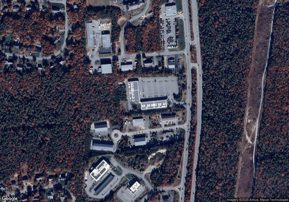
Map
Nearby Homes
- 20 Colony Ave
- 4 Harbor Hill Dr
- 16 Amberwood Ct
- 3 1st St
- 12 Turnberry Rd Unit 12
- 7 4th Ave
- 3 4th Ave
- 4 Hollyhock Knoll Ct Unit 4
- 4 Hollyhock Knoll Ct Unit 4
- 709 County Rd
- 203 County Rd
- 5 Sea Knoll Ct
- 566 Shore Rd
- 13 Laurel Hill Ct
- 254 Barlows Landing Rd
- 16 Michael Rd
- 14 Navajo Rd
- 5 Zoli Ln
- 44 Cotuit Rd
- 10 Sandy Ln
- 4 Katie Marie Dr
- 2 Katie Marie Dr
- 3 Otis Park Dr
- 5 Otis Park Dr
- 5 Otis Park Dr Unit c
- Lot 2 Katie Marie Dr
- 3 Katie Marie Dr
- 3 Katie Marie Dr
- 1 Katie Marie Dr
- 6 Marjorie
- 6 Katie Marie Dr
- 1 Otis Park Dr
- 7 Otis Park Dr
- 4 Henry Dr
- 4 Otis Park Dr
- 5 Katie Marie Dr Unit 5
- 5 Katie Marie Dr Unit 6
- 5 Katie Marie Dr
- 2 Henry Dr
- 420 Macarthur Blvd
Your Personal Tour Guide
Ask me questions while you tour the home.