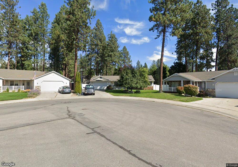
4701 E Mossberg Cir Post Falls, ID 83854
Centennial NeighborhoodEstimated Value: $581,000 - $623,959
3
Beds
2
Baths
2,470
Sq Ft
$246/Sq Ft
Est. Value
About This Home
This home is located at 4701 E Mossberg Cir, Post Falls, ID 83854 and is currently estimated at $606,990, approximately $245 per square foot. 4701 E Mossberg Cir is a home located in Kootenai County with nearby schools including Ponderosa Elementary School, Post Falls Middle School, and Post Falls High School.
Ownership History
Date
Name
Owned For
Owner Type
Purchase Details
Closed on
Feb 22, 2006
Sold by
Bettis Kenton J and Bettis Naomi J
Bought by
Pascual Christopher M and Pascual Betty I
Current Estimated Value
Home Financials for this Owner
Home Financials are based on the most recent Mortgage that was taken out on this home.
Original Mortgage
$262,885
Outstanding Balance
$147,555
Interest Rate
6.15%
Mortgage Type
New Conventional
Estimated Equity
$459,435
Create a Home Valuation Report for This Property
The Home Valuation Report is an in-depth analysis detailing your home's value as well as a comparison with similar homes in the area
Home Values in the Area
Average Home Value in this Area
Purchase History
| Date | Buyer | Sale Price | Title Company |
|---|---|---|---|
| Pascual Christopher M | -- | -- |
Source: Public Records
Mortgage History
| Date | Status | Borrower | Loan Amount |
|---|---|---|---|
| Open | Pascual Christopher M | $262,885 |
Source: Public Records
Tax History
| Year | Tax Paid | Tax Assessment Tax Assessment Total Assessment is a certain percentage of the fair market value that is determined by local assessors to be the total taxable value of land and additions on the property. | Land | Improvement |
|---|---|---|---|---|
| 2025 | $2,358 | $567,370 | $225,000 | $342,370 |
| 2024 | $2,306 | $542,540 | $200,000 | $342,540 |
| 2023 | $2,306 | $601,228 | $210,000 | $391,228 |
| 2022 | $3,263 | $657,776 | $225,000 | $432,776 |
| 2021 | $2,845 | $406,870 | $150,000 | $256,870 |
| 2020 | $2,709 | $337,340 | $110,000 | $227,340 |
| 2019 | $2,757 | $318,250 | $105,000 | $213,250 |
| 2018 | $2,337 | $266,870 | $85,000 | $181,870 |
| 2017 | $2,223 | $245,250 | $70,000 | $175,250 |
| 2016 | $2,272 | $235,540 | $70,000 | $165,540 |
| 2015 | $2,159 | $220,990 | $60,000 | $160,990 |
| 2013 | $1,694 | $175,250 | $45,000 | $130,250 |
Source: Public Records
Map
Nearby Homes
- 5079 E Portside Ct
- 5177 E Shore Cove
- 102 S Riverwood Ct
- 4301 E Maplewood Ave Unit 30
- 5377 E Steamboat Bend
- 8817 W Riverview Dr
- 5439 E Steamboat Bend
- 400 S Ohana Beach Dr
- 327 S Sandpiper Loop
- 6451 W Harbor Dr
- NKA S Mossy Rock Ln
- 5030 E Frazier Dr
- 706 N Dundee Dr
- 768 N Neufeld Ln
- 5892 W Harbor Dr
- 8928 W Driftwood Dr
- 0 N Spencer St
- 116 N Woolsey Ct
- 2655 E Ravine Lt 14 Blk 3 Dr
- 2559 E Ravine Lt 10 Blk 3 Dr
- 4695 E Mossberg Cir
- 4705 E Mossberg Cir
- 542 S Widgeon St
- 4734 E Weatherby Ave
- 518 S Widgeon St
- 4708 E Weatherby Ave
- 568 S Widgeon St
- 4679 E Mossberg Cir
- 4700 E Weatherby Ave
- 4719 E Mossberg Cir
- 510 S Widgeon St
- 4680 E Weatherby Ave
- 590 S Widgeon St
- 4674 E Mossberg Cir
- 4704 E Mossberg Cir
- 4661 E Mossberg Cir
- 4731 E Mossberg Cir
- 4656 E Weatherby Ave
- 616 S Widgeon St
- 4728 E Mossberg Cir
Your Personal Tour Guide
Ask me questions while you tour the home.