4704 Independence Dr Unit 4704 Bradenton, FL 34210
Estimated Value: $303,552 - $428,000
2
Beds
2
Baths
1,412
Sq Ft
$259/Sq Ft
Est. Value
About This Home
This home is located at 4704 Independence Dr Unit 4704, Bradenton, FL 34210 and is currently estimated at $366,138, approximately $259 per square foot. 4704 Independence Dr Unit 4704 is a home located in Manatee County with nearby schools including Sea Breeze Elementary School, W. D. Sugg Middle School, and Bayshore High School.
Ownership History
Date
Name
Owned For
Owner Type
Purchase Details
Closed on
Jul 24, 2015
Sold by
Brandt James C and Brandt Paula J
Bought by
Brandt James C and Brandt Paula J
Current Estimated Value
Purchase Details
Closed on
Feb 5, 2014
Sold by
Newton Joan Z
Bought by
Brandt James C and Brandt Paula J
Purchase Details
Closed on
Apr 1, 2005
Sold by
Basile Frank D and Basile Teresa A
Bought by
Newton Joan Z
Purchase Details
Closed on
Feb 9, 2001
Sold by
Schiano Paul A
Bought by
Basile Frank D and Basile Teresa A
Home Financials for this Owner
Home Financials are based on the most recent Mortgage that was taken out on this home.
Original Mortgage
$94,320
Interest Rate
7.03%
Purchase Details
Closed on
Jun 18, 1997
Sold by
Schiano Ida
Bought by
Schiano Paul A
Create a Home Valuation Report for This Property
The Home Valuation Report is an in-depth analysis detailing your home's value as well as a comparison with similar homes in the area
Home Values in the Area
Average Home Value in this Area
Purchase History
| Date | Buyer | Sale Price | Title Company |
|---|---|---|---|
| Brandt James C | -- | None Available | |
| Brandt James C | $207,500 | First International Title In | |
| Newton Joan Z | $290,000 | Signature Title Company | |
| Basile Frank D | $117,900 | -- | |
| Schiano Paul A | -- | -- |
Source: Public Records
Mortgage History
| Date | Status | Borrower | Loan Amount |
|---|---|---|---|
| Previous Owner | Basile Frank D | $94,320 |
Source: Public Records
Tax History Compared to Growth
Tax History
| Year | Tax Paid | Tax Assessment Tax Assessment Total Assessment is a certain percentage of the fair market value that is determined by local assessors to be the total taxable value of land and additions on the property. | Land | Improvement |
|---|---|---|---|---|
| 2025 | $4,775 | $289,000 | -- | $289,000 |
| 2024 | $4,775 | $361,250 | -- | $361,250 |
| 2023 | $4,850 | $391,000 | $0 | $391,000 |
| 2022 | $4,065 | $294,000 | $0 | $294,000 |
| 2021 | $3,466 | $233,000 | $0 | $233,000 |
| 2020 | $3,584 | $230,000 | $0 | $230,000 |
| 2019 | $3,407 | $220,000 | $0 | $220,000 |
| 2018 | $3,165 | $201,000 | $0 | $0 |
| 2017 | $2,707 | $174,700 | $0 | $0 |
| 2016 | $2,738 | $174,700 | $0 | $0 |
| 2015 | $2,390 | $156,000 | $0 | $0 |
| 2014 | $2,390 | $144,637 | $0 | $0 |
| 2013 | $2,554 | $156,407 | $76,309 | $80,098 |
Source: Public Records
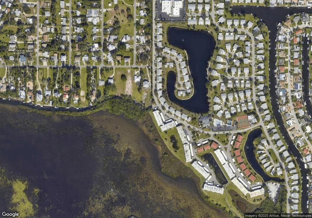
Map
Nearby Homes
- 4722 Independence Dr Unit 4722
- 4736 Independence Dr Unit 4736
- 4753 Independence Dr
- 9421 Andover Cir
- 4726 Potomac Cir
- 9412 Concord Cir
- 4852 Independence Dr Unit 4852
- 4745 Independence Dr Unit 4745
- 4734 Independence Dr
- 4809 Independence Dr Unit 4809
- 4414 Mount Vernon Dr Unit 1
- 4411 Mount Vernon Dr Unit 4411
- 4714 Potomac Cir
- 10216 46th Ave W
- 4420 101st St W
- 4419 102nd St W
- 9810 Dorado Ave Unit 20E
- 9717 Santa Maria Ct
- 9718 Hernando Ct
- 9822 Desoto Ct
- 4710 Independence Dr
- 4706 Independence Dr
- 4706 Independence Dr Unit 4706
- 4712 Independence Dr Unit 4712
- 4707 Independence Dr
- 4713 Independence Dr
- 4708 Independence Dr
- 4708 Independence Dr Unit 4708
- 4615 Independence Dr
- 4613 Independence Dr
- 4714 Independence Dr Unit 4714
- 4611 Independence Dr
- 4611 Independence Dr Unit 4611
- 4709 Independence Dr
- 4709 Independence Dr Unit 4709
- 4715 Independence Dr
- 4617 Independence Dr Unit 4617
- 4609 Independence Dr
- 4619 Independence Dr Unit 4619
- 4718 Independence Dr Unit 4718