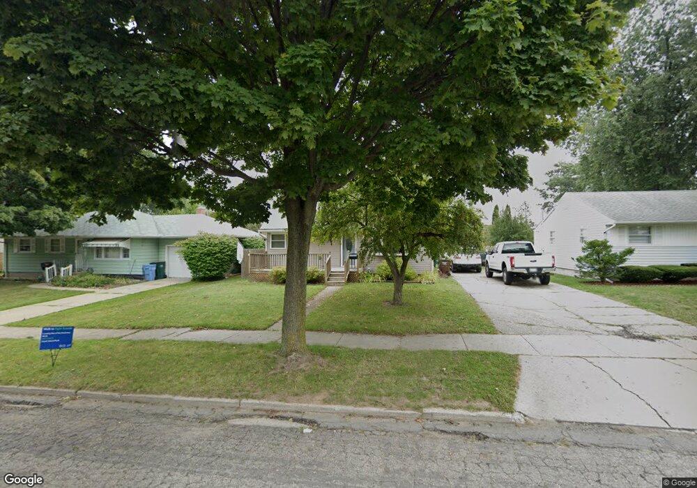
4709 Devonshire Ave Lansing, MI 48910
Old Everett NeighborhoodEstimated Value: $188,284 - $218,000
Studio
--
Bath
1,473
Sq Ft
$139/Sq Ft
Est. Value
About This Home
This home is located at 4709 Devonshire Ave, Lansing, MI 48910 and is currently estimated at $204,821, approximately $139 per square foot. 4709 Devonshire Ave is a home located in Ingham County with nearby schools including Kendon School, Attwood School, and Everett High School.
Ownership History
Date
Name
Owned For
Owner Type
Purchase Details
Closed on
Aug 6, 2018
Sold by
Person Delbert
Bought by
Hoover Christopher M
Current Estimated Value
Home Financials for this Owner
Home Financials are based on the most recent Mortgage that was taken out on this home.
Original Mortgage
$112,917
Outstanding Balance
$98,064
Interest Rate
4.5%
Mortgage Type
FHA
Estimated Equity
$106,757
Purchase Details
Closed on
Dec 1, 1993
Create a Home Valuation Report for This Property
The Home Valuation Report is an in-depth analysis detailing your home's value as well as a comparison with similar homes in the area
Home Values in the Area
Average Home Value in this Area
Purchase History
| Date | Buyer | Sale Price | Title Company |
|---|---|---|---|
| Hoover Christopher M | $115,000 | Transnation Title Agency | |
| -- | $74,400 | -- |
Source: Public Records
Mortgage History
| Date | Status | Borrower | Loan Amount |
|---|---|---|---|
| Open | Hoover Christopher M | $112,917 |
Source: Public Records
Tax History
| Year | Tax Paid | Tax Assessment Tax Assessment Total Assessment is a certain percentage of the fair market value that is determined by local assessors to be the total taxable value of land and additions on the property. | Land | Improvement |
|---|---|---|---|---|
| 2025 | $5,073 | $96,200 | $11,500 | $84,700 |
| 2024 | $41 | $93,300 | $11,500 | $81,800 |
| 2023 | $4,753 | $83,100 | $11,500 | $71,600 |
| 2022 | $4,279 | $76,200 | $10,900 | $65,300 |
| 2021 | $4,189 | $71,800 | $6,800 | $65,000 |
| 2020 | $4,165 | $68,600 | $6,800 | $61,800 |
| 2019 | $3,848 | $66,500 | $6,800 | $59,700 |
| 2018 | $3,808 | $55,900 | $6,800 | $49,100 |
| 2017 | $3,667 | $55,900 | $6,800 | $49,100 |
| 2016 | $2,684 | $50,500 | $6,800 | $43,700 |
| 2015 | $2,684 | $48,400 | $13,624 | $34,776 |
| 2014 | $2,684 | $48,100 | $9,942 | $38,158 |
Source: Public Records
Map
Nearby Homes
- 1101 Kendon Dr
- 4719 S Pennsylvania Ave
- 4815 S Pennsylvania Ave
- 4806 Lyncott Dr
- 1109 Barr Ave
- 0 Glenwood Ave
- 1115 Shirley St
- 801 Jessop Ave
- 810 Fenton St
- 817 Jessop Ave
- 629 Emily Ave
- 3907 Glenwood Ave
- 709 Jessop Ave
- 600 E Cavanaugh Rd
- 601 Jessop Ave
- 705 Hunter Blvd
- 0 N Aurelius Rd
- 2018 Worden St
- 522 E Cavanaugh Rd
- 3533 Glenwood Ave
- 4715 Devonshire Ave
- 4701 Devonshire Ave
- 4801 Devonshire Ave
- 4639 Devonshire Ave
- 4807 Devonshire Ave
- 4633 Devonshire Ave
- 4708 Devonshire Ave
- 1116 Kendon Dr
- 4714 Devonshire Ave
- 4627 Devonshire Ave
- 4817 Devonshire Ave
- 4800 Devonshire Ave
- 1115 Kendon Dr
- 4621 Devonshire Ave
- 4808 Devonshire Ave
- 4626 Devonshire Ave
- 4825 Devonshire Ave
- 4709 Alpha St
- 1100 Kendon Dr
- 4727 Alpha St
Your Personal Tour Guide
Ask me questions while you tour the home.