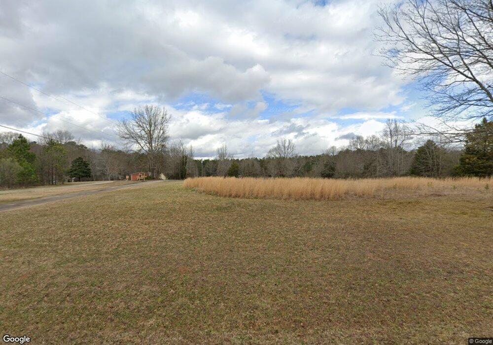
471 E Mays Rd Stockbridge, GA 30281
Estimated Value: $275,000 - $375,000
3
Beds
3
Baths
2,284
Sq Ft
$147/Sq Ft
Est. Value
About This Home
This home is located at 471 E Mays Rd, Stockbridge, GA 30281 and is currently estimated at $336,450, approximately $147 per square foot. 471 E Mays Rd is a home located in Henry County with nearby schools including Austin Road Elementary School, Austin Road Middle School, and Woodland High School.
Ownership History
Date
Name
Owned For
Owner Type
Purchase Details
Closed on
Oct 26, 2022
Sold by
Davies Melinda Susan
Bought by
Porter William Michael
Current Estimated Value
Home Financials for this Owner
Home Financials are based on the most recent Mortgage that was taken out on this home.
Original Mortgage
$125,000
Outstanding Balance
$120,976
Interest Rate
6.92%
Mortgage Type
New Conventional
Estimated Equity
$215,474
Purchase Details
Closed on
Oct 15, 2018
Sold by
Harding Thelma
Bought by
Davies Melinda Susan
Create a Home Valuation Report for This Property
The Home Valuation Report is an in-depth analysis detailing your home's value as well as a comparison with similar homes in the area
Home Values in the Area
Average Home Value in this Area
Purchase History
| Date | Buyer | Sale Price | Title Company |
|---|---|---|---|
| Porter William Michael | $225,000 | -- | |
| Davies Melinda Susan | $185,000 | -- |
Source: Public Records
Mortgage History
| Date | Status | Borrower | Loan Amount |
|---|---|---|---|
| Open | Porter William Michael | $125,000 |
Source: Public Records
Tax History Compared to Growth
Tax History
| Year | Tax Paid | Tax Assessment Tax Assessment Total Assessment is a certain percentage of the fair market value that is determined by local assessors to be the total taxable value of land and additions on the property. | Land | Improvement |
|---|---|---|---|---|
| 2025 | $4,428 | $134,240 | $25,480 | $108,760 |
| 2024 | $4,428 | $124,680 | $22,960 | $101,720 |
| 2023 | $2,716 | $90,000 | $17,190 | $72,810 |
| 2022 | $3,767 | $114,320 | $20,400 | $93,920 |
| 2021 | $3,561 | $91,800 | $17,520 | $74,280 |
| 2020 | $3,165 | $81,480 | $16,480 | $65,000 |
| 2019 | $2,879 | $74,000 | $15,022 | $58,978 |
| 2018 | $0 | $68,320 | $14,440 | $53,880 |
| 2016 | $798 | $66,480 | $12,760 | $53,720 |
| 2015 | $715 | $57,560 | $12,240 | $45,320 |
| 2014 | $698 | $55,360 | $14,680 | $40,680 |
Source: Public Records
Map
Nearby Homes
- 0 E Mays Rd Unit 10496305
- 5339 Highway 155 N
- 157 Hambrick Dr
- 231 Sorrow Rd
- 3710 Highway 155 SW
- 120 Bowen Rd
- 88 Bowen Rd
- 2100 Highway 138 E
- 373 Vicki Ln
- 5149 Highway 155 N
- 5018 Highway 155 N
- 0 Georgia 155 S Unit TRACT 3 10311477
- 4925 Cook Rd SW
- 222 Hemlock Dr
- 2471 Old Conyers Rd
- 214 Hemlock Dr
- 6079 Highway 155 N
- 1110 Estates Ct
- 441 E Mays Rd
- 497 E Mays Rd
- 403 E Mays Rd
- 601 E Mays Rd
- 539 E Mays Rd
- 0 E Mays Rd Unit 20027157
- 0 E Mays Rd Unit 20121131
- 0 E Mays Rd Unit 20121133
- 0 E Mays Rd Unit 7018997
- 0 E Mays Rd Unit 20027150
- 0 E Mays Rd Unit 157 8387049
- 0 E Mays Rd Unit 8784093
- E E Mays Rd Unit 157
- 0 E Mays Rd Unit 8847412
- 0 E Mays Rd Unit 3272651
- E E Mays Rd
- 0 E Mays Rd Unit 157 8613403
- 575 E Mays Rd
- 351 E Mays Rd
- 460 E Mays Rd
