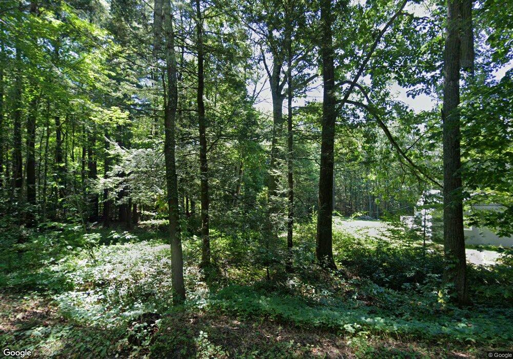
471 Platt Hill Rd Winsted, CT 06098
Estimated Value: $354,000 - $408,000
3
Beds
3
Baths
1,833
Sq Ft
$206/Sq Ft
Est. Value
About This Home
This home is located at 471 Platt Hill Rd, Winsted, CT 06098 and is currently estimated at $378,139, approximately $206 per square foot. 471 Platt Hill Rd is a home located in Litchfield County with nearby schools including Pearson School.
Ownership History
Date
Name
Owned For
Owner Type
Purchase Details
Closed on
Nov 4, 2003
Sold by
Fasano Carlo L and Fasano Deborah F
Bought by
Bristol Peter J and Bristol Theresa A
Current Estimated Value
Home Financials for this Owner
Home Financials are based on the most recent Mortgage that was taken out on this home.
Original Mortgage
$151,200
Interest Rate
6.05%
Purchase Details
Closed on
Apr 3, 2000
Sold by
Fancher Donald A and Fancher Eleanor A
Bought by
Fasano Carlo L and Fasano Deborah F
Create a Home Valuation Report for This Property
The Home Valuation Report is an in-depth analysis detailing your home's value as well as a comparison with similar homes in the area
Home Values in the Area
Average Home Value in this Area
Purchase History
| Date | Buyer | Sale Price | Title Company |
|---|---|---|---|
| Bristol Peter J | $189,000 | -- | |
| Bristol Peter J | $189,000 | -- | |
| Fasano Carlo L | $125,000 | -- | |
| Fasano Carlo L | $125,000 | -- |
Source: Public Records
Mortgage History
| Date | Status | Borrower | Loan Amount |
|---|---|---|---|
| Open | Fasano Carlo L | $182,000 | |
| Closed | Fasano Carlo L | $30,000 | |
| Closed | Fasano Carlo L | $151,200 |
Source: Public Records
Tax History Compared to Growth
Tax History
| Year | Tax Paid | Tax Assessment Tax Assessment Total Assessment is a certain percentage of the fair market value that is determined by local assessors to be the total taxable value of land and additions on the property. | Land | Improvement |
|---|---|---|---|---|
| 2025 | $4,874 | $167,090 | $56,350 | $110,740 |
| 2024 | $4,552 | $167,090 | $56,350 | $110,740 |
| 2023 | $4,410 | $167,090 | $56,350 | $110,740 |
| 2022 | $4,475 | $133,420 | $40,950 | $92,470 |
| 2021 | $4,475 | $133,420 | $40,950 | $92,470 |
| 2020 | $4,475 | $133,420 | $40,950 | $92,470 |
| 2019 | $4,475 | $133,420 | $40,950 | $92,470 |
| 2018 | $4,475 | $133,420 | $40,950 | $92,470 |
| 2017 | $4,362 | $130,060 | $40,950 | $89,110 |
| 2016 | $4,538 | $135,310 | $40,950 | $94,360 |
| 2015 | $4,425 | $135,310 | $40,950 | $94,360 |
| 2014 | $4,318 | $135,310 | $40,950 | $94,360 |
Source: Public Records
Map
Nearby Homes
- 469 Platt Hill Rd
- 441 Platt Hill Rd
- 117 South Rd
- 111 South Rd
- 1167 Saw Mill Hill Rd
- 00 Chapel Rd
- 274 Cliffside Dr Unit 274
- 90 Woodside Cir
- 103 Woodside Cir
- 145 Old Farms Rd Unit 145
- 479 Evergreen Rd
- 23 Evergreen Rd
- 418 Trailsend Dr
- 174 Ledge Dr
- 239 Ledge Dr
- 213 Ledge Dr Unit 213
- 133 Old Farms Rd
- 225 Ledge Dr
- 431 Trailsend Dr Unit + Garage G128
- 389 Trailsend Dr
- 466 Platt Hill Rd
- 305 Taylor Brook Rd
- 307 Taylor Brook Rd
- 309 Taylor Brook Rd
- 184A Taylor Brook Rd
- 470 Platt Hill Rd
- 18 Taylor Brook Rd
- 335 Taylor Brook Rd Unit 1
- 100 Hollow Hill Rd
- 100 Hollow Hill Rd
- 0 Platt Hill Lot 1 Rd
- 209 South Rd
- 311 Taylor Brook Rd
- 312 Taylor Brook Rd
- 460 Platt Hill Rd
- 313 Taylor Brook Rd
- 211 South Rd
- 462 Platt Hill Rd
- 201 South Rd
- 213 South Rd
