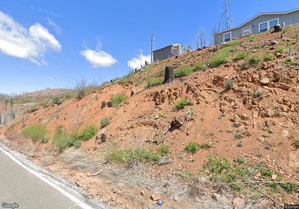
4710 String Canyon Rd Somerset, CA 95684
Estimated Value: $45,394 - $59,000
3
Beds
2
Baths
1,401
Sq Ft
$37/Sq Ft
Est. Value
About This Home
This home is located at 4710 String Canyon Rd, Somerset, CA 95684 and is currently estimated at $52,197, approximately $37 per square foot. 4710 String Canyon Rd is a home located in El Dorado County with nearby schools including Union Mine High School.
Ownership History
Date
Name
Owned For
Owner Type
Purchase Details
Closed on
Nov 12, 1997
Sold by
Volz Fred A Tr and Volz Katherine R Tr Etal
Bought by
Cooper Fred L and Cooper Lori L
Current Estimated Value
Home Financials for this Owner
Home Financials are based on the most recent Mortgage that was taken out on this home.
Original Mortgage
$114,008
Outstanding Balance
$18,744
Interest Rate
7.3%
Mortgage Type
FHA
Estimated Equity
$33,453
Create a Home Valuation Report for This Property
The Home Valuation Report is an in-depth analysis detailing your home's value as well as a comparison with similar homes in the area
Purchase History
| Date | Buyer | Sale Price | Title Company |
|---|---|---|---|
| Cooper Fred L | $115,000 | Old Republic Title Company |
Source: Public Records
Mortgage History
| Date | Status | Borrower | Loan Amount |
|---|---|---|---|
| Open | Cooper Fred L | $114,008 |
Source: Public Records
Tax History
| Year | Tax Paid | Tax Assessment Tax Assessment Total Assessment is a certain percentage of the fair market value that is determined by local assessors to be the total taxable value of land and additions on the property. | Land | Improvement |
|---|---|---|---|---|
| 2025 | $557 | $50,407 | $50,407 | -- |
| 2024 | $557 | $49,419 | $49,419 | -- |
| 2023 | $547 | $48,450 | $48,450 | $0 |
| 2022 | $298 | $21,750 | $14,744 | $7,006 |
| 2021 | $1,953 | $169,612 | $29,488 | $140,124 |
| 2020 | $1,929 | $167,874 | $29,186 | $138,688 |
| 2019 | $1,904 | $164,583 | $28,614 | $135,969 |
| 2018 | $1,852 | $161,356 | $28,053 | $133,303 |
| 2017 | $1,822 | $158,193 | $27,503 | $130,690 |
| 2016 | $1,795 | $155,092 | $26,964 | $128,128 |
| 2015 | $1,737 | $152,764 | $26,560 | $126,204 |
| 2014 | $1,737 | $149,774 | $26,041 | $123,733 |
Source: Public Records
Map
Nearby Homes
- 4720 Blaze Trail
- 4491 String Canyon Rd
- 5046 Cary Dr
- 4708 Creekside Dr
- 5214 Evergreen Dr
- 5026 Old Mine Rd
- 5154 Evergreen
- 5117 Woodhaven Ct
- 5124 Golden Aspen
- 6855 Tyler Dr
- 6828 Tyler Dr
- 4908 Sciaroni Rd
- 10141 Grizzly Flat Rd
- 5206 Evergreen
- 10196 Grizzly Flat Rd
- 9981 Grizzly Flat Rd
- 5261 Wooded Glen Rd
- 10020 Grizzly Flat Rd
- 5194 Woodhaven Dr
- 5241 Golden Aspen Dr
- 4680 String Canyon Rd
- 4664 String Canyon Rd
- 4662 String Canyon Rd
- 4681 String Canyon Rd
- 4997 Rollingwood Dr
- 5005 Rollingwood Dr
- 5011 Rollingwood Dr
- 4902 Rollingwood Ct
- 4630 String Canyon Rd
- 4878 Creekside Dr
- 5019 Rollingwood Dr
- 4850 Creekside Dr
- 4914 Rollingwood Ct
- 4982 Rollingwood Ct
- Acres Blaze Trail
- 1 Blaze Trail
- 5014 Rollingwood Dr
- 5024 Rollingwood Dr
- 0 Rollingwood Ct Unit 17054324
- 0 Rollingwood Ct Unit 19076145
Your Personal Tour Guide
Ask me questions while you tour the home.