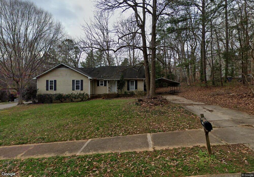
4712 Fargo Ct Raleigh, NC 27612
Crabtree NeighborhoodEstimated Value: $305,000 - $600,087
2
Beds
2
Baths
1,180
Sq Ft
$430/Sq Ft
Est. Value
About This Home
This home is located at 4712 Fargo Ct, Raleigh, NC 27612 and is currently estimated at $507,522, approximately $430 per square foot. 4712 Fargo Ct is a home located in Wake County with nearby schools including Stough Elementary School, Oberlin Middle School, and Broughton Magnet High School.
Ownership History
Date
Name
Owned For
Owner Type
Purchase Details
Closed on
Nov 29, 2004
Sold by
Cain Jason C and Craig Cain J
Bought by
Cain Jason C and Cain Sarah C
Current Estimated Value
Home Financials for this Owner
Home Financials are based on the most recent Mortgage that was taken out on this home.
Original Mortgage
$125,514
Outstanding Balance
$62,564
Interest Rate
5.66%
Mortgage Type
FHA
Estimated Equity
$444,958
Purchase Details
Closed on
Aug 25, 1997
Bought by
Cain Jason C and Cain Sarah C
Create a Home Valuation Report for This Property
The Home Valuation Report is an in-depth analysis detailing your home's value as well as a comparison with similar homes in the area
Home Values in the Area
Average Home Value in this Area
Purchase History
| Date | Buyer | Sale Price | Title Company |
|---|---|---|---|
| Cain Jason C | -- | -- | |
| Cain Jason C | $137,500 | -- |
Source: Public Records
Mortgage History
| Date | Status | Borrower | Loan Amount |
|---|---|---|---|
| Open | Cain Jason C | $125,514 |
Source: Public Records
Tax History Compared to Growth
Tax History
| Year | Tax Paid | Tax Assessment Tax Assessment Total Assessment is a certain percentage of the fair market value that is determined by local assessors to be the total taxable value of land and additions on the property. | Land | Improvement |
|---|---|---|---|---|
| 2025 | $4,624 | $525,580 | $200,000 | $325,580 |
| 2024 | $4,605 | $525,580 | $200,000 | $325,580 |
| 2023 | $3,366 | $305,149 | $76,000 | $229,149 |
| 2022 | $3,130 | $305,149 | $76,000 | $229,149 |
| 2021 | $3,009 | $305,149 | $76,000 | $229,149 |
| 2020 | $2,955 | $305,149 | $76,000 | $229,149 |
| 2019 | $2,558 | $217,262 | $70,000 | $147,262 |
| 2018 | $2,414 | $217,262 | $70,000 | $147,262 |
| 2017 | $2,300 | $217,262 | $70,000 | $147,262 |
| 2016 | $2,253 | $217,262 | $70,000 | $147,262 |
| 2015 | $2,147 | $203,482 | $70,000 | $133,482 |
| 2014 | $2,038 | $203,482 | $70,000 | $133,482 |
Source: Public Records
Map
Nearby Homes
- 4001 Arckelton Dr
- 4519 Edwards Mill Rd Unit J
- 3836 Noremac Dr
- 4143 Gardenlake Dr
- 4171 English Garden Way
- 3912 Rock Rose Ln
- 3702 Nova Star Ln
- 3815 Carnegie Ln
- 3604 Eden Croft Dr
- 3517 Eden Croft Dr
- 3811 Carnegie Ln
- 3616 Blue Ridge Rd
- 3513 Eden Croft Dr
- 3617 Carlow Ct
- 1417 Westmoreland Dr
- 1416 Westmoreland Dr
- 1404 Westmoreland Dr
- 3129 Merrianne Dr
- 2425 Wentworth St
- 1105 Tazwell Place
- 4714 Fargo Ct
- 4015 Arckelton Dr
- 4013 Arckelton Dr
- 4708 Fargo Ct
- 4710 Fargo Ct
- 4101 Arckelton Dr
- 4103 Arckelton Dr
- 4046 Arckelton Dr
- 4009 and 4 Arckelton
- 4009 Arckelton Dr
- 4050 Arckelton Dr
- 4048 Arckelton Dr
- 4713 Fargo Ct
- 4704 Fargo Ct
- 4100 Arckelton Dr
- 4102 Arckelton Dr
- 4709 Fargo Ct
- 4711 Fargo Ct
- 4711 Fargo Ct
- 4026 Arckelton Dr