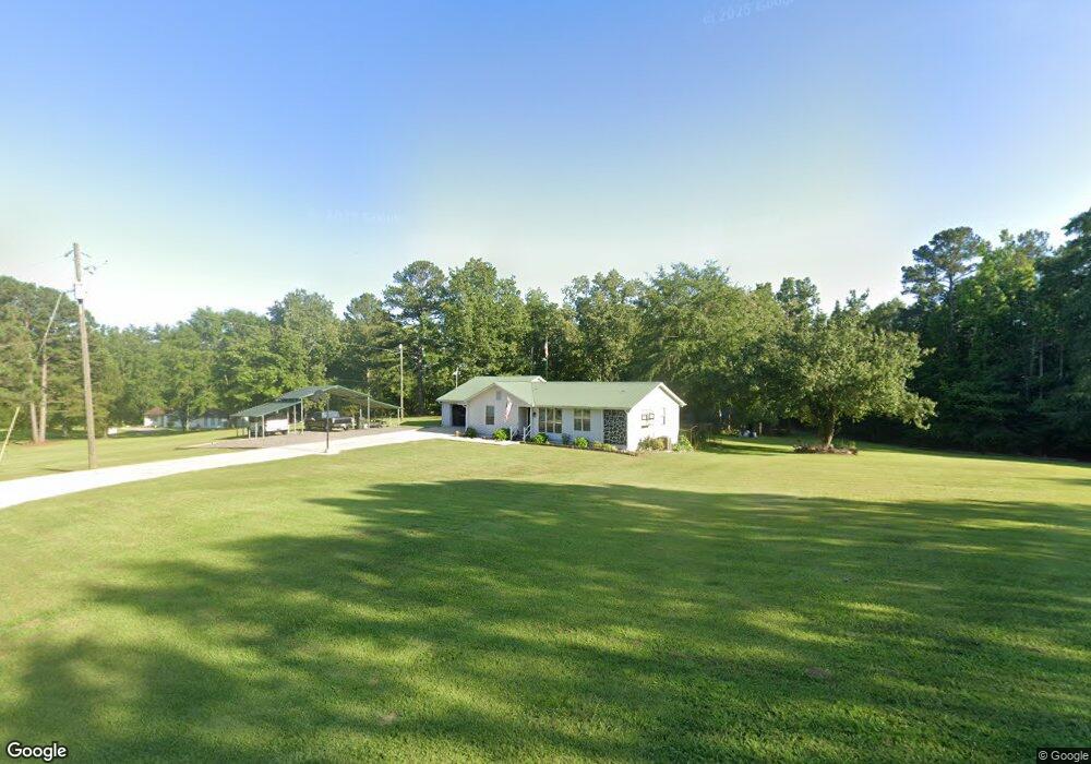
4718 Cain Rd Jasper, AL 35501
Estimated Value: $31,502 - $180,000
--
Bed
--
Bath
--
Sq Ft
0.6
Acres
About This Home
This home is located at 4718 Cain Rd, Jasper, AL 35501 and is currently estimated at $105,751. 4718 Cain Rd is a home located in Walker County with nearby schools including Victory Christian Academy.
Ownership History
Date
Name
Owned For
Owner Type
Purchase Details
Closed on
Aug 3, 2016
Sold by
Lockhart Mike and Bank Of Walker County
Bought by
Industrial Development Board Of Jasper
Current Estimated Value
Purchase Details
Closed on
Jun 6, 2008
Sold by
Select Portfolio Servicing Inc
Bought by
Lockhart Mike
Home Financials for this Owner
Home Financials are based on the most recent Mortgage that was taken out on this home.
Original Mortgage
$24,806
Interest Rate
5.97%
Mortgage Type
Purchase Money Mortgage
Create a Home Valuation Report for This Property
The Home Valuation Report is an in-depth analysis detailing your home's value as well as a comparison with similar homes in the area
Home Values in the Area
Average Home Value in this Area
Purchase History
| Date | Buyer | Sale Price | Title Company |
|---|---|---|---|
| Industrial Development Board Of Jasper | $18,800 | -- | |
| Lockhart Mike | -- | -- |
Source: Public Records
Mortgage History
| Date | Status | Borrower | Loan Amount |
|---|---|---|---|
| Previous Owner | Lockhart Mike | $24,806 |
Source: Public Records
Tax History Compared to Growth
Tax History
| Year | Tax Paid | Tax Assessment Tax Assessment Total Assessment is a certain percentage of the fair market value that is determined by local assessors to be the total taxable value of land and additions on the property. | Land | Improvement |
|---|---|---|---|---|
| 2024 | -- | $80 | $80 | $0 |
| 2023 | $0 | $80 | $80 | $0 |
| 2022 | $0 | $70 | $70 | $0 |
| 2021 | $232 | $140 | $140 | $0 |
| 2020 | $232 | $140 | $140 | $0 |
| 2019 | $232 | $140 | $140 | $0 |
| 2018 | $0 | $120 | $120 | $0 |
| 2017 | $232 | $9,380 | $1,300 | $8,080 |
| 2016 | $232 | $9,080 | $1,300 | $7,780 |
| 2015 | $232 | $9,080 | $1,300 | $7,780 |
| 2014 | $225 | $8,820 | $1,200 | $7,620 |
| 2013 | $225 | $8,820 | $1,200 | $7,620 |
Source: Public Records
Map
Nearby Homes
- 0 Lakewood Dr
- 3205 Lakewood Dr
- 0 SW Industrial Blvd Unit 24-1056
- 00 I-22 and Industrial Dr NE
- 5102 Shadow Wood Dr
- 5001 Shadow Wood Dr
- 608 34th St SE
- 0000 I-22 and Al 269 SE Unit i
- 910 D St
- 2301 20th Ave E
- 0 Third Avenue and I-22 Unit 11400029
- CABOT Plan at Liberty Place
- AUBURN Plan at Liberty Place
- ASHTON Plan at Liberty Place
- BRISCOE Plan at Liberty Place
- 18 Meadowview Dr
- 120 Kings Way
- 500 22nd St E
- 180 Mary Austin Rd
- 605 20th St E