Estimated Value: $492,000 - $510,256
3
Beds
2
Baths
1,372
Sq Ft
$366/Sq Ft
Est. Value
About This Home
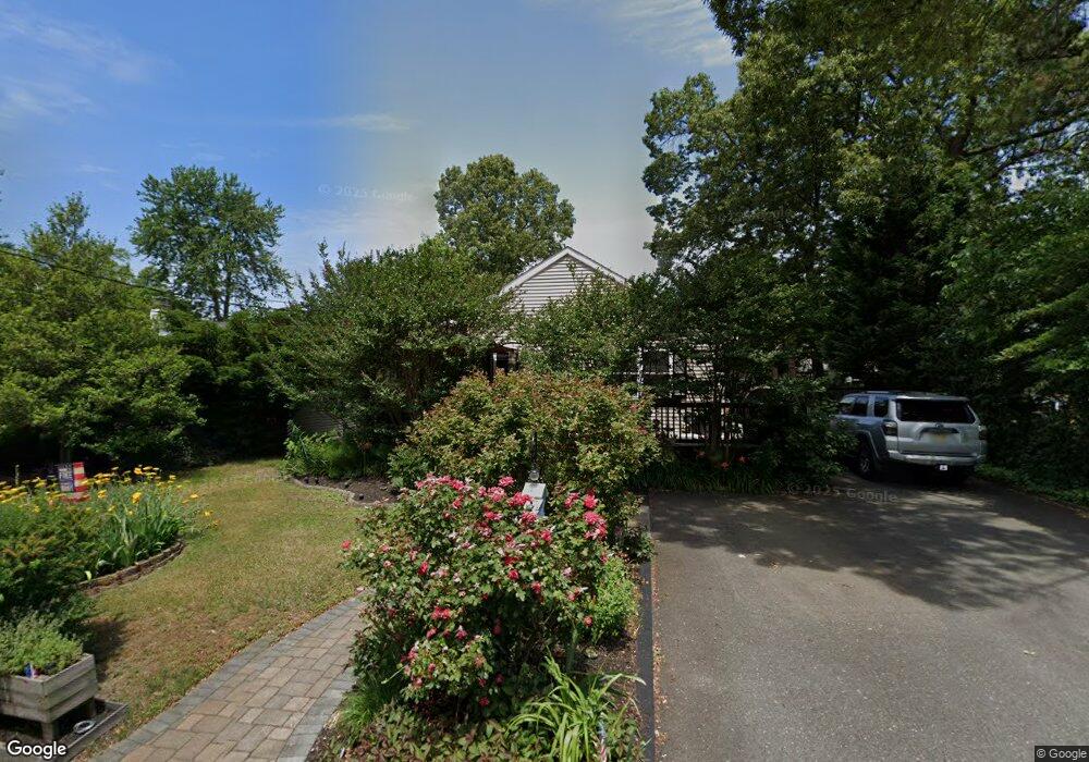
This home is located at 472 Burnt Bark Rd, Brick, NJ 08723 and is currently estimated at $501,564, approximately $365 per square foot. 472 Burnt Bark Rd is a home located in Ocean County with nearby schools including Emma Havens Young Elementary School, Lake Riviera Middle School, and Brick Township High School.
Ownership History
Date
Name
Owned For
Owner Type
Purchase Details
Closed on
Mar 30, 2006
Sold by
Mctague Bettina
Bought by
Eichinger Christopher S and Watts Kathy J
Current Estimated Value
Home Financials for this Owner
Home Financials are based on the most recent Mortgage that was taken out on this home.
Original Mortgage
$300,000
Outstanding Balance
$172,499
Interest Rate
6.37%
Mortgage Type
Fannie Mae Freddie Mac
Estimated Equity
$329,065
Purchase Details
Closed on
Jan 4, 2006
Sold by
Hopcroft Anthony R and Hopcroft Mary J
Bought by
Mctague Thomas J and Mctague Bettina
Home Financials for this Owner
Home Financials are based on the most recent Mortgage that was taken out on this home.
Original Mortgage
$210,000
Interest Rate
6.33%
Mortgage Type
Fannie Mae Freddie Mac
Create a Home Valuation Report for This Property
The Home Valuation Report is an in-depth analysis detailing your home's value as well as a comparison with similar homes in the area
Home Values in the Area
Average Home Value in this Area
Purchase History
| Date | Buyer | Sale Price | Title Company |
|---|---|---|---|
| Eichinger Christopher S | $300,000 | First American Title Ins Co | |
| Mctague Thomas J | $265,000 | Lawyers Title Insurance Corp |
Source: Public Records
Mortgage History
| Date | Status | Borrower | Loan Amount |
|---|---|---|---|
| Open | Eichinger Christopher S | $300,000 | |
| Previous Owner | Mctague Thomas J | $210,000 |
Source: Public Records
Tax History Compared to Growth
Tax History
| Year | Tax Paid | Tax Assessment Tax Assessment Total Assessment is a certain percentage of the fair market value that is determined by local assessors to be the total taxable value of land and additions on the property. | Land | Improvement |
|---|---|---|---|---|
| 2025 | $6,406 | $248,000 | $125,000 | $123,000 |
| 2024 | $6,088 | $248,000 | $125,000 | $123,000 |
| 2023 | $6,009 | $248,000 | $125,000 | $123,000 |
| 2022 | $6,009 | $248,000 | $125,000 | $123,000 |
| 2021 | $5,883 | $248,000 | $125,000 | $123,000 |
| 2020 | $5,808 | $248,000 | $125,000 | $123,000 |
| 2019 | $5,711 | $248,000 | $125,000 | $123,000 |
| 2018 | $5,580 | $248,000 | $125,000 | $123,000 |
| 2017 | $5,429 | $248,000 | $125,000 | $123,000 |
| 2016 | $5,401 | $248,000 | $125,000 | $123,000 |
| 2015 | $5,260 | $248,000 | $125,000 | $123,000 |
| 2014 | $5,218 | $248,000 | $125,000 | $123,000 |
Source: Public Records
Map
Nearby Homes
- 474 Burnt Bark Rd
- 470 Mantoloking Rd
- 0 Mantoloking Rd Unit 11584872
- 495 Pinecroft Dr
- 82 E View Dr
- 53 Country Club Ct
- 507 Riverside Dr S
- 15 Hulse Landing Rd
- 10 Riverside Dr W
- 484 Bara St
- 00 Mantoloking Rd
- VZ0 Mantoloking Rd
- 553 Kingfisher Cr
- 553 Kingfisher Cir
- 570 Mantoloking Rd
- 417 Mamie Dr
- 463 Mamie Dr
- 455 Mamie Dr
- 595 Kingfisher Cir
- 42 Arbutus Ave
- 468 Burnt Bark Rd
- 475 Augustus Rd
- 475 Augustus Rd Unit SUMMER
- 475 Augustus Rd Unit WINTER
- 473 Augustus Rd
- 475 Burnt Bark Rd
- 471 Burnt Bark Rd
- 469 Augustus Rd
- 479 Augustus Rd
- 466 Burnt Bark Rd
- 480 Burnt Bark Rd
- 469 Burnt Bark Rd
- 467 Augustus Rd
- 479 Burnt Bark Rd
- 467 Burnt Bark Rd
- 464 Burnt Bark Rd
- 472 Pinecroft Dr
- 470 Pinecroft Dr
- 465 Augustus Rd
- 476 Pinecroft Dr