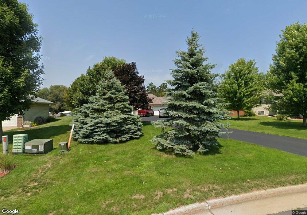
472 High Pointe Dr Ellsworth, WI 54011
Estimated Value: $299,000 - $355,000
3
Beds
2
Baths
--
Sq Ft
0.41
Acres
About This Home
This home is located at 472 High Pointe Dr, Ellsworth, WI 54011 and is currently estimated at $319,004. 472 High Pointe Dr is a home located in Pierce County with nearby schools including Ellsworth High School.
Ownership History
Date
Name
Owned For
Owner Type
Purchase Details
Closed on
Sep 8, 2023
Sold by
Thoms Amy K
Bought by
Thoms Andrew S
Current Estimated Value
Purchase Details
Closed on
Jul 31, 2009
Sold by
Edgar Christopher J and Edgar Angel A
Bought by
Thoms Andrew S
Home Financials for this Owner
Home Financials are based on the most recent Mortgage that was taken out on this home.
Original Mortgage
$160,000
Interest Rate
5.43%
Mortgage Type
New Conventional
Create a Home Valuation Report for This Property
The Home Valuation Report is an in-depth analysis detailing your home's value as well as a comparison with similar homes in the area
Home Values in the Area
Average Home Value in this Area
Purchase History
| Date | Buyer | Sale Price | Title Company |
|---|---|---|---|
| Thoms Andrew S | $250,900 | Heywood, Cari & Anderson, S.C. | |
| Thoms Andrew S | $166,000 | None Available |
Source: Public Records
Mortgage History
| Date | Status | Borrower | Loan Amount |
|---|---|---|---|
| Previous Owner | Thoms Andrew S | $160,000 |
Source: Public Records
Tax History Compared to Growth
Tax History
| Year | Tax Paid | Tax Assessment Tax Assessment Total Assessment is a certain percentage of the fair market value that is determined by local assessors to be the total taxable value of land and additions on the property. | Land | Improvement |
|---|---|---|---|---|
| 2024 | $4,767 | $250,900 | $39,800 | $211,100 |
| 2023 | $4,422 | $250,900 | $39,800 | $211,100 |
| 2022 | $3,731 | $250,900 | $39,800 | $211,100 |
| 2021 | $3,408 | $158,100 | $36,100 | $122,000 |
| 2020 | $3,454 | $158,100 | $36,100 | $122,000 |
| 2019 | $3,353 | $158,100 | $36,100 | $122,000 |
| 2018 | $3,427 | $158,100 | $36,100 | $122,000 |
| 2017 | $3,474 | $158,100 | $36,100 | $122,000 |
| 2016 | $3,439 | $158,100 | $36,100 | $122,000 |
| 2015 | $3,219 | $158,100 | $36,100 | $122,000 |
| 2014 | $3,008 | $158,100 | $36,100 | $122,000 |
| 2013 | $3,273 | $158,100 | $36,100 | $122,000 |
Source: Public Records
Map
Nearby Homes
- 000 S Maple St
- XXX S Maple St
- 195 W Humble Ave
- 269 S Chestnut St
- 232 S Chestnut St
- 230 S Chestnut St
- 610 W Crest Ln
- 185 S Maple St
- 227 S Piety St
- 944 S Kelly Rd
- N5135 732nd St
- N5174 732nd St
- N5196 732nd St
- 146 E Main St
- 198 E Main St
- 314 N Maple St
- 166 E Main St
- W7366 US Highway 10
- 332 Pleasant Ave
- 841 N Grant St
- 472 472 W High Point Dr
- 472 High Point Dr
- 466 High Point Dr
- 466 High Pointe Dr
- 478 High Pointe Dr
- 478 High Point Dr
- 460 High Point Dr
- 460 High Pointe Dr
- 712 S Maple St
- 460 High Pointe Dr
- 484 High Pointe Dr
- 762 S Maple St
- 740 S Maple St
- 630 S Maple St
- 624 S Maple St
- 490 High Pointe Dr
- 705 S Maple St
- 713 S Maple St
- 723 S Maple St
- 498 High Pointe Dr