472 State Route 111 Hampstead, NH 03841
Estimated Value: $104,398
4
Beds
2
Baths
7,005
Sq Ft
$15/Sq Ft
Est. Value
About This Home
This home is located at 472 State Route 111, Hampstead, NH 03841 and is currently priced at $104,398, approximately $14 per square foot. 472 State Route 111 is a home located in Rockingham County with nearby schools including Hampstead Central School, Hampstead Middle School, and Pinkerton Academy.
Ownership History
Date
Name
Owned For
Owner Type
Purchase Details
Closed on
Nov 8, 2024
Sold by
Franco Properties Llc
Bought by
Jjambs Llc
Current Estimated Value
Home Financials for this Owner
Home Financials are based on the most recent Mortgage that was taken out on this home.
Original Mortgage
$257,292
Outstanding Balance
$254,317
Interest Rate
6.32%
Mortgage Type
Commercial
Purchase Details
Closed on
Sep 22, 2000
Sold by
Dragon Rt
Bought by
Shields Stephen L
Purchase Details
Closed on
Jan 8, 1999
Sold by
Palermo Robert J
Bought by
Steadman Susanne
Purchase Details
Closed on
Nov 5, 1998
Sold by
Barnes Gary J
Bought by
Jennings Linda
Create a Home Valuation Report for This Property
The Home Valuation Report is an in-depth analysis detailing your home's value as well as a comparison with similar homes in the area
Home Values in the Area
Average Home Value in this Area
Purchase History
| Date | Buyer | Sale Price | Title Company |
|---|---|---|---|
| Jjambs Llc | $104,533 | None Available | |
| Jjambs Llc | $104,533 | None Available | |
| Jjambs Llc | $104,533 | None Available | |
| Jjambs Llc | $104,533 | None Available | |
| Shields Stephen L | $31,000 | -- | |
| Shields Stephen L | $31,000 | -- | |
| Steadman Susanne | $50,000 | -- | |
| Steadman Susanne | $50,000 | -- | |
| Jennings Linda | $55,000 | -- | |
| Jennings Linda | $55,000 | -- |
Source: Public Records
Mortgage History
| Date | Status | Borrower | Loan Amount |
|---|---|---|---|
| Open | Jjambs Llc | $257,292 | |
| Closed | Jjambs Llc | $257,292 | |
| Closed | Jjambs Llc | $257,292 | |
| Previous Owner | Jennings Linda | $46,288 |
Source: Public Records
Tax History Compared to Growth
Tax History
| Year | Tax Paid | Tax Assessment Tax Assessment Total Assessment is a certain percentage of the fair market value that is determined by local assessors to be the total taxable value of land and additions on the property. | Land | Improvement |
|---|---|---|---|---|
| 2024 | -- | $0 | $0 | $0 |
| 2023 | -- | $0 | $0 | $0 |
| 2022 | $0 | $0 | $0 | $0 |
| 2021 | $0 | $0 | $0 | $0 |
| 2020 | $0 | $0 | $0 | $0 |
| 2016 | $0 | $0 | $0 | $0 |
| 2015 | -- | $0 | $0 | $0 |
| 2014 | -- | $0 | $0 | $0 |
Source: Public Records
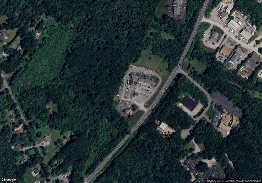
Map
Nearby Homes
- 16 Edmund Meadow Ln
- 14 Meredith Dr
- 35 Kelly Brook Ln
- 41 Tewksbury Rd
- 42 Country Rd
- 93 Stage Rd
- 3 Cameron Ct Unit 3
- 15 Cambridge Rd
- 12 Stage Rd
- 13 Autumn Ln
- 6 Russett Ln
- 62 Veterans Way
- 1 Remington Dr Unit 904C
- 314 Main St
- 185 Buttrick Rd
- 33 Pillsbury Rd
- 333 Main St
- 39 Kibrel Ct
- 00 Woodridge Rd
- 132 Maple Ave
- 472 State Route 111 Unit B1
- 472 State Route 111 Unit G
- 472 State Route 111 Unit G2
- 472 State Route 111 Unit G
- 472 State Route 111 Unit F
- 472 State Route 111 Unit E
- 472 New Hampshire 111 Unit B1
- 472 New Hampshire 111 Unit F
- 472 New Hampshire 111 Unit E
- 472 New Hampshire 111 Unit G
- 472 New Hampshire 111 Unit G2
- 472 New Hampshire 111 Unit C2,D2,E2,H2
- 472 New Hampshire 111
- 471 State Route 111
- 2 Village Green Rd Unit 1B
- 2 Village Green Rd Unit 1A
- 2 Village Green Rd Unit 3 both
- 2 Village Green Rd Unit 3 Right
- 2 Village Green Rd Unit 3 Left
- 2 Village Green Rd