Estimated Value: $360,000 - $447,000
About This Home
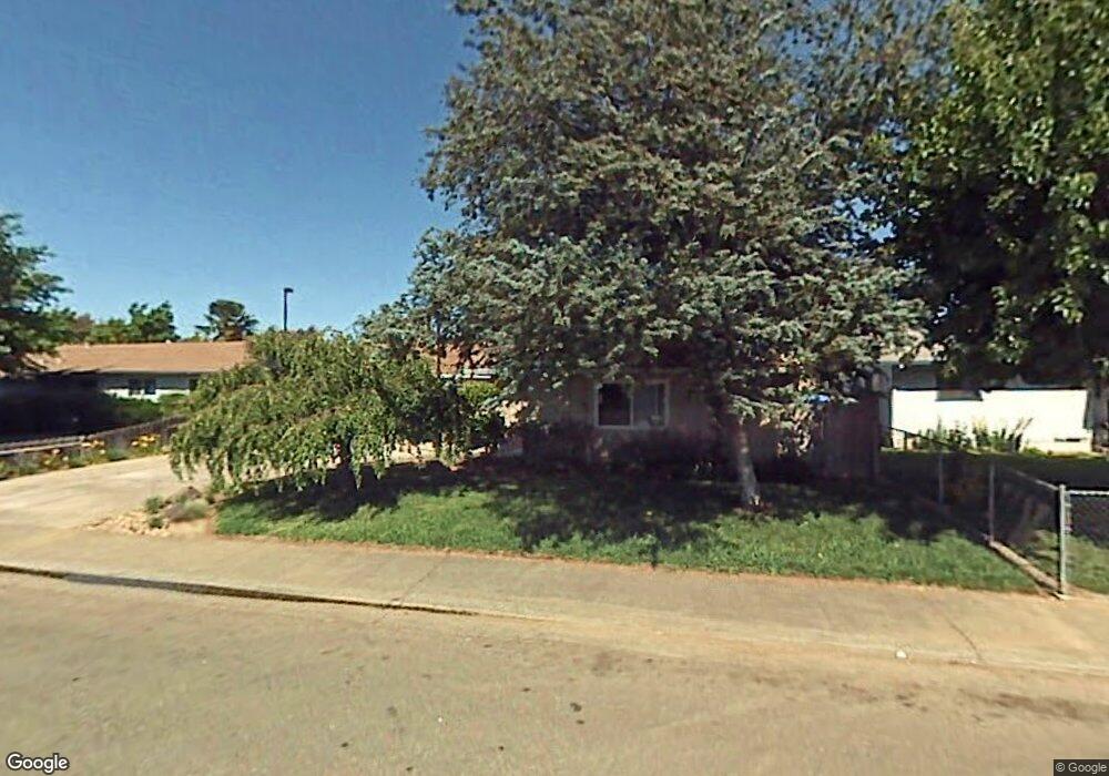
This home is located at 472 Sunset Dr, Galt, CA 95632 and is currently estimated at $413,304, approximately $307 per square foot. 472 Sunset Dr is a home located in Sacramento County with nearby schools including Lake Canyon Elementary School, Robert L. McCaffrey Middle School, and Galt High School.
Ownership History
We collect this data history from publicly available records. To have your information removed, we recommend requesting removal directly through your county’s website.
Purchase Details
Purchase Details
Purchase Details
Home Values in the Area
Average Home Value in this Area
Purchase History
We collect this data history from publicly available records. To have your information removed, we recommend requesting removal directly through your county’s website.
| Date | Buyer | Sale Price | Title Company |
|---|---|---|---|
| -- | None Available | ||
| -- | -- | ||
| -- | -- |
Tax History
We collect this data history from publicly available records. To have your information removed, we recommend requesting removal directly through your county’s website.
| Year | Tax Paid | Tax Assessment Tax Assessment Total Assessment is a certain percentage of the fair market value that is determined by local assessors to be the total taxable value of land and additions on the property. | Land | Improvement |
|---|---|---|---|---|
| 2025 | $1,170 | $108,791 | $28,267 | $80,524 |
| 2024 | $1,119 | $106,659 | $27,713 | $78,946 |
| 2023 | $1,098 | $104,569 | $27,170 | $77,399 |
| 2022 | $1,053 | $102,520 | $26,638 | $75,882 |
| 2021 | $1,052 | $100,511 | $26,116 | $74,395 |
| 2020 | $1,043 | $99,482 | $25,849 | $73,633 |
| 2019 | $1,015 | $97,533 | $25,343 | $72,190 |
| 2018 | $1,012 | $95,622 | $24,847 | $70,775 |
| 2017 | $971 | $93,748 | $24,360 | $69,388 |
| 2016 | $931 | $91,911 | $23,883 | $68,028 |
| 2015 | $898 | $90,532 | $23,525 | $67,007 |
| 2014 | $895 | $88,760 | $23,065 | $65,695 |
Map
- 702 Elm Ave
- 603 N Lincoln Way
- 604 Pringle Ave Unit 94
- 604 Pringle Ave Unit 2
- 604 Pringle Ave Unit 93
- 604 Pringle Ave Unit 99
- 604 Pringle Ave Unit 31
- 605 Pringle Ave Unit 35
- 10657 Simmerhorn Rd
- 663 Carr Way
- 820 N Lincoln Way Unit SPC 93
- 820 N Lincoln Way Unit 7
- 658 Nathaniel Ave
- 781 Wicker Way
- 813 Ashboro Ln
- 216 Mcfarland St
- 974 Lyonia Dr
- 773 Ashboro Ln
- 13536 Mcfarland St
- 209 6th St
Ask me questions while you tour the home.