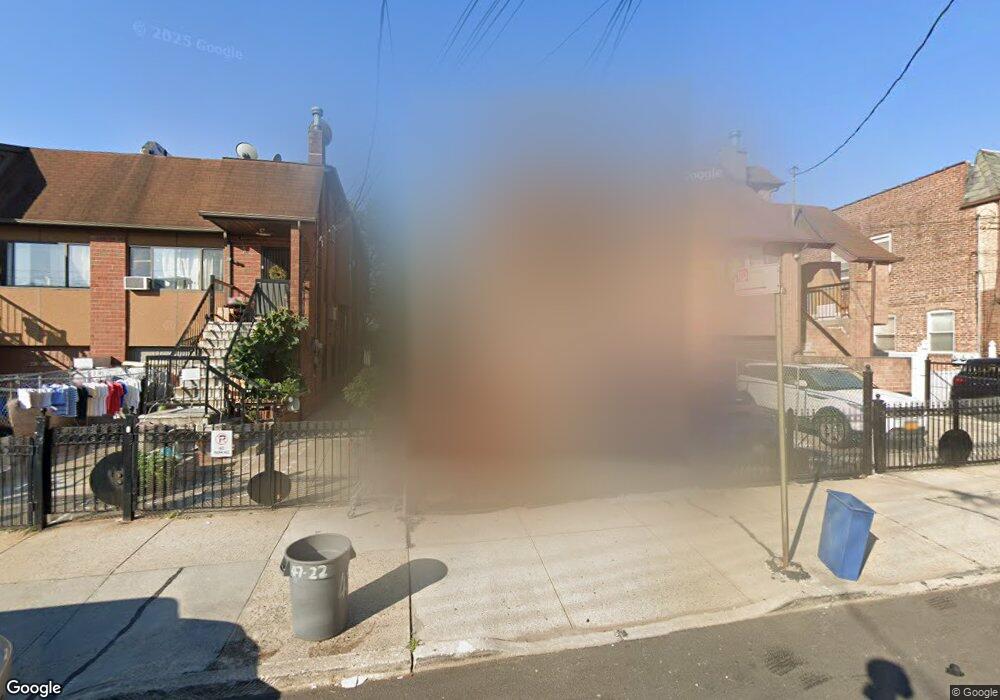
4720 Union St Flushing, NY 11355
East Flushing NeighborhoodEstimated Value: $1,647,348 - $2,160,000
Studio
--
Bath
3,256
Sq Ft
$597/Sq Ft
Est. Value
About This Home
This home is located at 4720 Union St, Flushing, NY 11355 and is currently estimated at $1,943,587, approximately $596 per square foot. 4720 Union St is a home located in Queens County with nearby schools including P.S. 024 Andrew Jackson School, Rachel Carson I.S. 237Q, and Francis Lewis High School.
Ownership History
Date
Name
Owned For
Owner Type
Purchase Details
Closed on
Oct 23, 2000
Sold by
Youssef Namir and Youssef Evelyn
Bought by
Lee Yau Choi and Lee Yau Shing
Current Estimated Value
Home Financials for this Owner
Home Financials are based on the most recent Mortgage that was taken out on this home.
Original Mortgage
$320,000
Interest Rate
7.78%
Create a Home Valuation Report for This Property
The Home Valuation Report is an in-depth analysis detailing your home's value as well as a comparison with similar homes in the area
Home Values in the Area
Average Home Value in this Area
Purchase History
| Date | Buyer | Sale Price | Title Company |
|---|---|---|---|
| Lee Yau Choi | $475,000 | -- |
Source: Public Records
Mortgage History
| Date | Status | Borrower | Loan Amount |
|---|---|---|---|
| Closed | Lee Yau Choi | $320,000 |
Source: Public Records
Tax History
| Year | Tax Paid | Tax Assessment Tax Assessment Total Assessment is a certain percentage of the fair market value that is determined by local assessors to be the total taxable value of land and additions on the property. | Land | Improvement |
|---|---|---|---|---|
| 2025 | $13,632 | $73,428 | $14,392 | $59,036 |
| 2024 | $13,644 | $69,272 | $16,270 | $53,002 |
| 2023 | $13,632 | $69,272 | $14,292 | $54,980 |
| 2022 | $13,666 | $94,980 | $23,520 | $71,460 |
| 2021 | $13,354 | $85,380 | $23,520 | $61,860 |
| 2020 | $12,656 | $91,320 | $23,520 | $67,800 |
| 2019 | $11,783 | $88,320 | $23,520 | $64,800 |
| 2018 | $11,470 | $57,727 | $15,177 | $42,550 |
| 2017 | $11,379 | $57,292 | $17,316 | $39,976 |
| 2016 | $10,495 | $57,292 | $17,316 | $39,976 |
| 2015 | $6,299 | $50,992 | $24,136 | $26,856 |
| 2014 | $6,299 | $48,106 | $22,501 | $25,605 |
Source: Public Records
Map
Nearby Homes
- 46-40 Kissena Blvd
- 50-16 Kissena Blvd
- 14014 Poplar Ave
- 140-50 Quince Ave
- 143-16 Holly Ave
- 52-05 Robinson St
- 52-06 Bowne St
- 140-19 Rose Ave
- 146-18 Laburnum Ave
- 152-12 Peck Ave
- 146-23 Laburnum Ave
- 152-10 Peck Ave
- 140-15 Holly Ave Unit 6M
- 140-15 Holly Ave Unit 4E
- 140-15 Holly Ave Unit 2M
- 137-42 Geranium Ave
- 45-30 Smart St
- 148-10 Kalmia Ave
- 54-23 153rd St
- 54-29 153rd St
- 4722 Union St
- 4718 Union St
- 4724 Union St
- 4716 Union St
- 4714 Union St
- 4728 Union St
- 4712 Union St
- 4712 Union St Unit 2nd FL
- 4712 Union St
- 14025 Mulberry Ave
- 4730 Union St
- 14023 Mulberry Ave
- 14026 Mulberry Ave
- 4732 Union St
- 14021 Mulberry Ave
- 14024 Mulberry Ave
- 14022 Mulberry Ave
- 14019 Mulberry Ave
- 140-19 Mulberry Ave
- 47-21 Union St Unit 2/F
Your Personal Tour Guide
Ask me questions while you tour the home.