473 Malone Rd Maynard, AR 72444
Estimated Value: $263,000 - $1,524,755
Studio
2
Baths
1,968
Sq Ft
$454/Sq Ft
Est. Value
About This Home
This home is located at 473 Malone Rd, Maynard, AR 72444 and is currently estimated at $893,878, approximately $454 per square foot. 473 Malone Rd is a home located in Randolph County with nearby schools including Maynard Elementary School and Maynard High School.
Ownership History
Date
Name
Owned For
Owner Type
Purchase Details
Closed on
Mar 12, 2020
Sold by
Ds Jarvis Farm Inc
Bought by
Green Richard W and Green Samantha L
Current Estimated Value
Home Financials for this Owner
Home Financials are based on the most recent Mortgage that was taken out on this home.
Original Mortgage
$241,000
Outstanding Balance
$176,176
Interest Rate
3.4%
Mortgage Type
New Conventional
Estimated Equity
$717,702
Purchase Details
Closed on
Feb 9, 2016
Bought by
Roberts To Ds Jarvis Farm Inc
Purchase Details
Closed on
Mar 4, 2009
Bought by
Watson To Roberts
Purchase Details
Closed on
Dec 10, 1998
Bought by
Watson and Watson To Watson
Purchase Details
Closed on
May 1, 1993
Bought by
Watson James R and Watson Teri
Purchase Details
Closed on
Jan 1, 1989
Bought by
Lake To Watson
Create a Home Valuation Report for This Property
The Home Valuation Report is an in-depth analysis detailing your home's value as well as a comparison with similar homes in the area
Purchase History
| Date | Buyer | Sale Price | Title Company |
|---|---|---|---|
| Green Richard W | $1,880,400 | None Available | |
| Roberts To Ds Jarvis Farm Inc | $1,969,000 | -- | |
| Watson To Roberts | -- | -- | |
| Watson | -- | -- | |
| Watson James R | -- | -- | |
| Lake To Watson | -- | -- |
Source: Public Records
Mortgage History
| Date | Status | Borrower | Loan Amount |
|---|---|---|---|
| Open | Green Richard W | $241,000 | |
| Open | Green Richard W | $1,776,000 |
Source: Public Records
Tax History
| Year | Tax Paid | Tax Assessment Tax Assessment Total Assessment is a certain percentage of the fair market value that is determined by local assessors to be the total taxable value of land and additions on the property. | Land | Improvement |
|---|---|---|---|---|
| 2025 | $7,016 | $187,130 | $4,990 | $182,140 |
| 2024 | $7,116 | $187,130 | $4,990 | $182,140 |
| 2023 | $7,191 | $187,130 | $4,990 | $182,140 |
| 2022 | $7,260 | $187,130 | $4,990 | $182,140 |
| 2021 | $7,260 | $187,130 | $4,990 | $182,140 |
| 2020 | $7,310 | $188,360 | $5,085 | $183,275 |
| 2019 | $5,446 | $188,360 | $5,085 | $183,275 |
| 2018 | $6,605 | $188,360 | $5,085 | $183,275 |
| 2017 | $6,507 | $159,880 | $4,670 | $155,210 |
| 2016 | $2,275 | $159,880 | $4,670 | $155,210 |
| 2015 | $2,101 | $66,795 | $3,965 | $62,830 |
| 2014 | $1,861 | $124,965 | $3,800 | $121,165 |
Source: Public Records
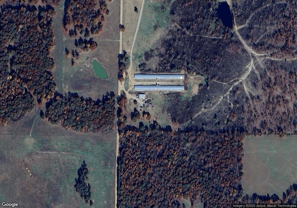
Map
Nearby Homes
- TBD Minorca Rd
- Tbd Minorca Rd Unit LotWP001
- 16538 Arkansas 115
- 13322 Arkansas 115
- 77 Mock St
- 831 Ripley Ff-1
- 000 Carmickle Rd
- 449 Thompson Rd
- 538 Fowler Rd
- 917 Hummingbird Trail
- 2524 Tucker Rd
- TBD Brakebill Rd
- 70 Kenzie Trail
- 2814 Ripley N-2
- 380 Current River Trail
- 190 Current River Trail
- 2 Clay 1841 Rd
- 41 County Road 1851
- Lot 17 County Road 198
- Lot 15 County Road 198
- 552 Malone Rd
- 763 Malone Rd
- 2749 Middlebrook Rd
- 3060 Middlebrook Rd
- 2486 Middlebrook Rd
- 955 Malone Rd
- 2435 Middlebrook Rd
- 4152 Ponds Rd
- 2645 Ponds Rd
- 301 Mile Rd
- 2251 Middlebrook Rd
- 89 Mile Rd
- 1167 Malone Rd
- 3008 Ponds Rd
- 271 Mile Rd
- 393 Mile Rd
- 00 Acres Tucker
- 0 Swift Water Tral=il Unit 10093052
- 2120 Middlebrook Rd
- 1043 Middlebrook Rd Unit M-L
Your Personal Tour Guide
Ask me questions while you tour the home.