4734 Parsons Rd Springdale, AR 72764
Estimated Value: $381,000 - $1,074,000
3
Beds
2
Baths
2,326
Sq Ft
$260/Sq Ft
Est. Value
About This Home
This home is located at 4734 Parsons Rd, Springdale, AR 72764 and is currently estimated at $605,908, approximately $260 per square foot. 4734 Parsons Rd is a home located in Washington County with nearby schools including Monitor Elementary School, Lakeside Junior High School, and Sonora Middle School.
Ownership History
Date
Name
Owned For
Owner Type
Purchase Details
Closed on
Jun 17, 2015
Bought by
Hager Brent and Hager Pamela
Current Estimated Value
Purchase Details
Closed on
Apr 28, 2011
Sold by
Anb Venture Llc
Bought by
Hager Brent and Hager Pamela
Home Financials for this Owner
Home Financials are based on the most recent Mortgage that was taken out on this home.
Original Mortgage
$172,710
Interest Rate
4.87%
Mortgage Type
New Conventional
Create a Home Valuation Report for This Property
The Home Valuation Report is an in-depth analysis detailing your home's value as well as a comparison with similar homes in the area
Home Values in the Area
Average Home Value in this Area
Purchase History
| Date | Buyer | Sale Price | Title Company |
|---|---|---|---|
| Hager Brent | -- | -- | |
| Hager Brent | $320,000 | Waco |
Source: Public Records
Mortgage History
| Date | Status | Borrower | Loan Amount |
|---|---|---|---|
| Previous Owner | Hager Brent | $172,710 |
Source: Public Records
Tax History Compared to Growth
Tax History
| Year | Tax Paid | Tax Assessment Tax Assessment Total Assessment is a certain percentage of the fair market value that is determined by local assessors to be the total taxable value of land and additions on the property. | Land | Improvement |
|---|---|---|---|---|
| 2025 | $1,863 | $76,710 | $11,070 | $65,640 |
| 2024 | $1,856 | $76,710 | $11,070 | $65,640 |
| 2023 | $1,868 | $76,710 | $11,070 | $65,640 |
| 2022 | $1,849 | $46,470 | $6,070 | $40,400 |
| 2021 | $1,849 | $46,470 | $6,070 | $40,400 |
| 2020 | $1,849 | $46,470 | $6,070 | $40,400 |
| 2019 | $1,693 | $43,140 | $11,520 | $31,620 |
| 2018 | $1,718 | $43,140 | $11,520 | $31,620 |
| 2017 | $1,656 | $43,140 | $11,520 | $31,620 |
| 2016 | $1,696 | $43,140 | $11,520 | $31,620 |
| 2015 | $1,696 | $43,140 | $11,520 | $31,620 |
| 2014 | $1,681 | $42,810 | $11,520 | $31,290 |
Source: Public Records
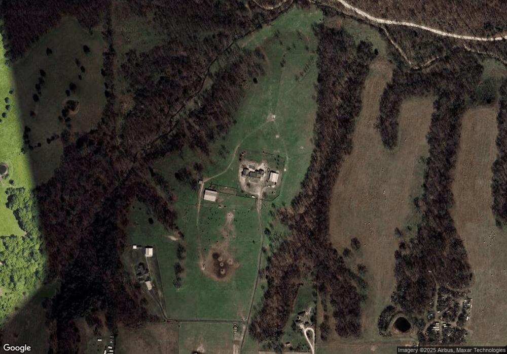
Map
Nearby Homes
- 4886-4856 Parsons Rd
- 0 Parsons Rd
- 21927-21889 N County Road 91
- 4292 E Hewitt Springs Rd
- 0 N Parsons Rd Unit 22391840
- TBD Parsons Rd
- 3545 E Monitor Rd
- 3719 Sanday Ave
- 912 N Monitor Rd
- 109 Woodcliff Cir
- 2.57 Ac E Monitor Rd
- 1.98 Ac E Monitor (Wc91) Rd
- 2871 Commons Ave
- 843 Woodcliff Dr
- 0 Tract A E Monitor Rd
- 1380 Butterfield Coach Rd
- 1744 Green Acres Cir
- 2403 E Emma Ave
- 137 Woodcliff Rd
- 768 Suffolk Cove
- 4732 Parsons Rd
- 4886 Parsons Rd
- 4694 Parsons Rd
- 4728 Parsons Rd
- 4854 Parsons Rd
- 4760 Parsons Rd
- 4532 Parsons Rd
- 4610 Parsons Rd
- 4496 Parsons Rd
- 4701 Parsons Rd
- 5100 Parsons Rd
- 4993 Parsons Rd
- 4889 Parsons Rd
- 4492 Parsons Rd
- 4897 Parsons Rd
- 4453 Parsons Rd
- 4468 Parsons Rd
- 4436 Parsons Rd
- TBD E Scott Hollow Rd
- 4.38acres(Tract 2) o E Scott Hollow Rd