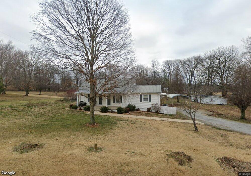
4735 Woodrow Wilson Rd Cross Plains, TN 37049
Estimated Value: $225,000 - $277,000
--
Bed
1
Bath
1,092
Sq Ft
$230/Sq Ft
Est. Value
About This Home
This home is located at 4735 Woodrow Wilson Rd, Cross Plains, TN 37049 and is currently estimated at $250,840, approximately $229 per square foot. 4735 Woodrow Wilson Rd is a home located in Robertson County with nearby schools including East Robertson Elementary School and East Robertson High School.
Ownership History
Date
Name
Owned For
Owner Type
Purchase Details
Closed on
Dec 14, 2023
Sold by
Jessica Freeland Trust and Olivia Freeland Trust
Bought by
Swann Lori
Current Estimated Value
Home Financials for this Owner
Home Financials are based on the most recent Mortgage that was taken out on this home.
Original Mortgage
$180,800
Outstanding Balance
$177,653
Interest Rate
7.76%
Mortgage Type
New Conventional
Estimated Equity
$73,187
Purchase Details
Closed on
Aug 26, 2022
Sold by
Earl Freeland James
Bought by
Freeland Stephen
Purchase Details
Closed on
Jul 11, 1985
Bought by
Freeland James E and Freeland Martha
Purchase Details
Closed on
Sep 12, 1972
Purchase Details
Closed on
Aug 9, 1972
Create a Home Valuation Report for This Property
The Home Valuation Report is an in-depth analysis detailing your home's value as well as a comparison with similar homes in the area
Home Values in the Area
Average Home Value in this Area
Purchase History
| Date | Buyer | Sale Price | Title Company |
|---|---|---|---|
| Swann Lori | $226,000 | None Listed On Document | |
| Swann Lori | $226,000 | None Listed On Document | |
| Freeland Stephen | -- | Richert Jarod C | |
| Freeland Stephen | -- | Richert Jarod C | |
| Freeland Stephen | -- | Richert Jarod C | |
| Freeland James E | -- | -- | |
| -- | -- | -- | |
| -- | -- | -- |
Source: Public Records
Mortgage History
| Date | Status | Borrower | Loan Amount |
|---|---|---|---|
| Open | Swann Lori | $180,800 | |
| Closed | Swann Lori | $180,800 |
Source: Public Records
Tax History Compared to Growth
Tax History
| Year | Tax Paid | Tax Assessment Tax Assessment Total Assessment is a certain percentage of the fair market value that is determined by local assessors to be the total taxable value of land and additions on the property. | Land | Improvement |
|---|---|---|---|---|
| 2025 | -- | $46,350 | $0 | $0 |
| 2024 | -- | $46,350 | $20,275 | $26,075 |
| 2023 | $834 | $46,350 | $20,275 | $26,075 |
| 2022 | $542 | $21,025 | $9,100 | $11,925 |
| 2021 | $542 | $21,025 | $9,100 | $11,925 |
| 2020 | $542 | $21,025 | $9,100 | $11,925 |
| 2019 | $542 | $21,025 | $9,100 | $11,925 |
| 2018 | $542 | $21,025 | $9,100 | $11,925 |
| 2017 | $601 | $19,475 | $8,225 | $11,250 |
| 2016 | $601 | $19,475 | $8,225 | $11,250 |
| 2015 | $576 | $19,475 | $8,225 | $11,250 |
| 2014 | $576 | $19,475 | $8,225 | $11,250 |
Source: Public Records
Map
Nearby Homes
- 4616 Woodrow Wilson Rd
- 0 Pinson Rd
- 6808 Hester Rd
- 7265 Bob Carr Rd
- 3966 Baggett Rd
- 12354 Owens Chapel Rd
- 0 Homer Worsham Rd
- 2136 Neill Ln
- 9611 Cross Plains Rd
- 200 S Cedar St
- 6453 Hopewell Rd
- 7518 Highway 49 E
- 3941 Baggett Rd
- 7569 Greenwood Rd
- 6437 Hopewell Rd
- 29640 Highway 49 E
- 4037 Weston Dr
- 5450 Dixon Rd
- 7870 Mill Rd
- 8927 Covington Rd
- 6967 Highway 25e
- 6944 Highway 25 E
- 4721 Woodrow Wilson Rd
- 6962 Highway 25 E
- 4723 Woodrow Wilson Rd
- 6936 Highway 25 E
- 6930 Highway 25 E
- 4759 Henry Rd
- 0 Blackberry Ln
- 7001 Highway 25 E
- 6921 Highway 25 E
- 6913 Highway 25 E
- 6900 Blackberry Ln
- 4657 Woodrow Wilson Rd
- 4814 Henry Rd
- 6867 Highway 25 E
- 6967 Highway 25 E
- 1 Highway 25e
- 6854 Highway 25 E
- 7054 Highway 25 E