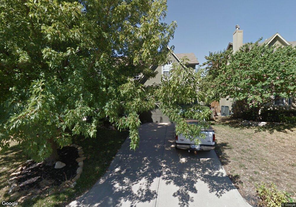
4738 Lone Elm Shawnee, KS 66226
Estimated Value: $411,648 - $448,000
4
Beds
3
Baths
2,079
Sq Ft
$207/Sq Ft
Est. Value
About This Home
This home is located at 4738 Lone Elm, Shawnee, KS 66226 and is currently estimated at $429,912, approximately $206 per square foot. 4738 Lone Elm is a home located in Johnson County with nearby schools including Riverview Elementary School, Mill Creek Middle School, and Mill Valley High School.
Ownership History
Date
Name
Owned For
Owner Type
Purchase Details
Closed on
Feb 20, 2003
Sold by
Moege Terry L and Moege Deborah K
Bought by
Breninger Michael S and Breninger Jennifer L
Current Estimated Value
Home Financials for this Owner
Home Financials are based on the most recent Mortgage that was taken out on this home.
Original Mortgage
$140,000
Outstanding Balance
$58,007
Interest Rate
6%
Estimated Equity
$371,905
Create a Home Valuation Report for This Property
The Home Valuation Report is an in-depth analysis detailing your home's value as well as a comparison with similar homes in the area
Home Values in the Area
Average Home Value in this Area
Purchase History
| Date | Buyer | Sale Price | Title Company |
|---|---|---|---|
| Breninger Michael S | -- | -- |
Source: Public Records
Mortgage History
| Date | Status | Borrower | Loan Amount |
|---|---|---|---|
| Open | Breninger Michael S | $140,000 | |
| Closed | Breninger Michael S | $35,000 |
Source: Public Records
Tax History
| Year | Tax Paid | Tax Assessment Tax Assessment Total Assessment is a certain percentage of the fair market value that is determined by local assessors to be the total taxable value of land and additions on the property. | Land | Improvement |
|---|---|---|---|---|
| 2025 | $4,815 | $43,378 | $9,387 | $33,991 |
| 2024 | $4,815 | $41,527 | $8,530 | $32,997 |
| 2023 | $4,667 | $39,721 | $7,754 | $31,967 |
| 2022 | $4,414 | $36,800 | $7,046 | $29,754 |
| 2021 | $4,220 | $33,776 | $6,715 | $27,061 |
| 2020 | $3,702 | $29,337 | $5,596 | $23,741 |
| 2019 | $3,606 | $28,152 | $5,330 | $22,822 |
| 2018 | $3,420 | $26,461 | $5,330 | $21,131 |
| 2017 | $3,543 | $26,749 | $4,636 | $22,113 |
| 2016 | $3,421 | $25,507 | $4,217 | $21,290 |
| 2015 | $3,362 | $24,690 | $4,217 | $20,473 |
| 2013 | -- | $23,644 | $4,217 | $19,427 |
Source: Public Records
Map
Nearby Homes
- 21436 W 48th St
- 4910 Marion St
- 4711 Roundtree Ct
- 21526 W 51st Terrace
- 20811 W 48th St
- 4531 Woodstock St
- 4607 Aminda St
- 9303 Aminda St
- 9313 Aminda St
- 9305 Aminda St
- 9307 Aminda St
- 5314 Brockway St
- 20907 W 53rd Terrace
- 21010 W 54th St
- 5333 Hilltop Dr
- 4418 Silverheel St
- 5511 Chouteau St
- 4439 Meadow View Dr
- 21606 W 57th Terrace
- 23508 W 46th St
Your Personal Tour Guide
Ask me questions while you tour the home.