474 Commons Dr Unit 474 Powell, OH 43065
Estimated Value: $417,000 - $455,249
2
Beds
2
Baths
1,770
Sq Ft
$246/Sq Ft
Est. Value
About This Home
This home is located at 474 Commons Dr Unit 474, Powell, OH 43065 and is currently estimated at $435,562, approximately $246 per square foot. 474 Commons Dr Unit 474 is a home located in Delaware County with nearby schools including Tyler Run Elementary School, Olentangy Liberty Middle School, and Olentangy Liberty High School.
Ownership History
Date
Name
Owned For
Owner Type
Purchase Details
Closed on
Jun 17, 2004
Sold by
The Commons Of Powell Llc
Bought by
Fetting Bruce K and Fetting Ichi
Current Estimated Value
Home Financials for this Owner
Home Financials are based on the most recent Mortgage that was taken out on this home.
Original Mortgage
$166,700
Interest Rate
6.1%
Mortgage Type
Purchase Money Mortgage
Create a Home Valuation Report for This Property
The Home Valuation Report is an in-depth analysis detailing your home's value as well as a comparison with similar homes in the area
Home Values in the Area
Average Home Value in this Area
Purchase History
| Date | Buyer | Sale Price | Title Company |
|---|---|---|---|
| Fetting Bruce K | $208,400 | Cornerstone Title |
Source: Public Records
Mortgage History
| Date | Status | Borrower | Loan Amount |
|---|---|---|---|
| Closed | Fetting Bruce K | $166,700 |
Source: Public Records
Tax History
| Year | Tax Paid | Tax Assessment Tax Assessment Total Assessment is a certain percentage of the fair market value that is determined by local assessors to be the total taxable value of land and additions on the property. | Land | Improvement |
|---|---|---|---|---|
| 2024 | $6,492 | $123,700 | $24,680 | $99,020 |
| 2023 | $6,537 | $123,700 | $24,680 | $99,020 |
| 2022 | $5,092 | $85,510 | $17,500 | $68,010 |
| 2021 | $5,656 | $85,510 | $17,500 | $68,010 |
| 2020 | $5,423 | $85,510 | $17,500 | $68,010 |
| 2019 | $4,368 | $75,640 | $17,500 | $58,140 |
| 2018 | $4,418 | $75,640 | $17,500 | $58,140 |
| 2017 | $4,407 | $68,250 | $12,250 | $56,000 |
| 2016 | $4,217 | $68,250 | $12,250 | $56,000 |
| 2015 | $4,040 | $68,250 | $12,250 | $56,000 |
| 2014 | $3,888 | $68,250 | $12,250 | $56,000 |
| 2013 | $3,980 | $68,250 | $12,250 | $56,000 |
Source: Public Records
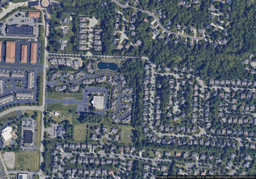
Map
Nearby Homes
- 471 Commons Dr Unit 471
- 255 Winter Hill Place
- 4933 Emerald Lakes Blvd Unit 4903
- 2672 Sawmill Reserve Dr Unit 2672
- 10811 Eckington Dr
- 10010 Beckford Ct
- 1937 Liberty St
- 18 Murphys View Place Unit I18
- 120 S Liberty St
- 3910 Summit View Rd
- 2514 Tevis Ann Ct
- 104 Encore Park Bend
- 4840 Paddington Way
- 9406 Cadogan Ct
- 9529 Wayne Brown Dr
- 130 Barrington Place
- 149 Chedworth Row
- 7844 Adare Ct Unit 5
- 170 Barrington Place
- 22 Brookehill Dr
- 478 Commons Dr Unit 478
- 466 Commons Dr Unit 466
- 470 Commons Dr Unit 470
- 482 Commons Dr Unit 482
- 523 Zion Dr
- 533 Zion Dr
- 486 Commons Dr Unit 486
- 513 Zion Dr
- 483 Commons Dr Unit 483
- 543 Zion Dr
- 479 Commons Dr Unit 479
- 458 Commons Dr Unit 458
- 487 Commons Dr
- 553 Zion Dr
- 475 Commons Dr Unit 475
- 493 Zion Dr
- 563 Zion Dr
- 483 Zion Dr
- 491 Commons Dr Unit 491
- 573 Zion Dr
Your Personal Tour Guide
Ask me questions while you tour the home.