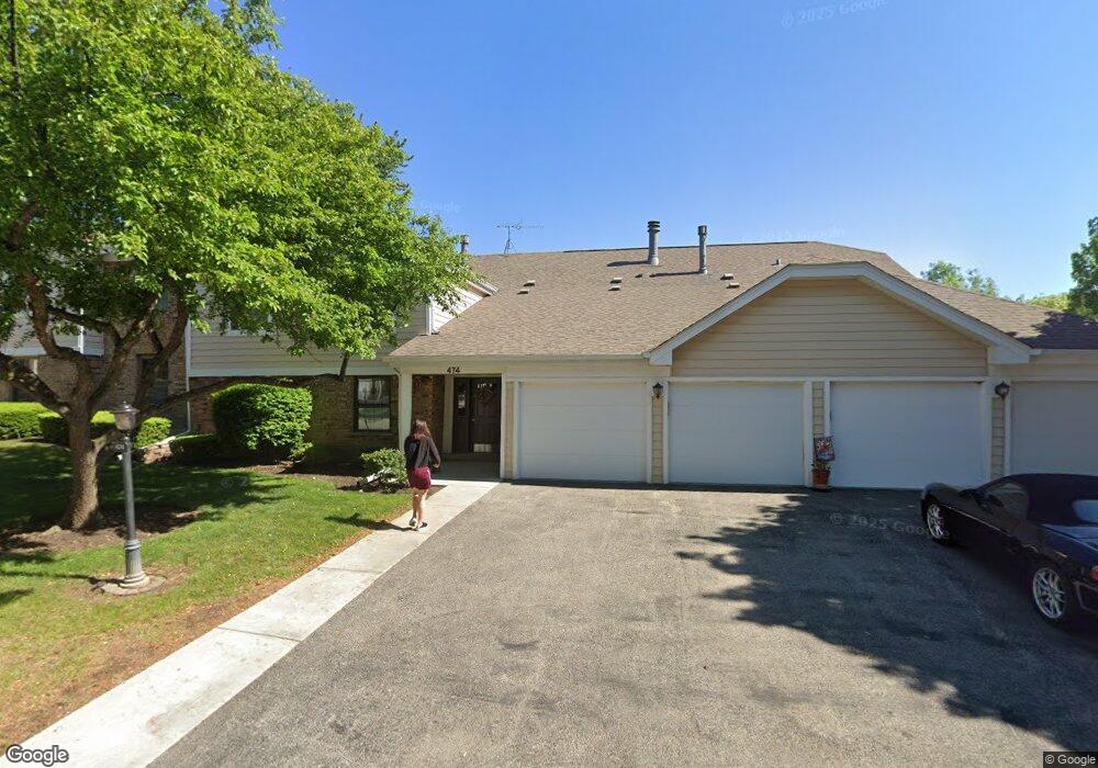
474 Lambert Dr Unit D2 Schaumburg, IL 60193
East Schaumburg NeighborhoodEstimated Value: $270,128 - $283,000
2
Beds
2
Baths
1,500
Sq Ft
$184/Sq Ft
Est. Value
About This Home
This home is located at 474 Lambert Dr Unit D2, Schaumburg, IL 60193 and is currently estimated at $276,032, approximately $184 per square foot. 474 Lambert Dr Unit D2 is a home located in Cook County with nearby schools including Michael Collins Elementary School, Robert Frost Junior High School, and J B Conant High School.
Ownership History
Date
Name
Owned For
Owner Type
Purchase Details
Closed on
Jan 25, 2008
Sold by
Suva Eileen B
Bought by
Taylor Angela B
Current Estimated Value
Home Financials for this Owner
Home Financials are based on the most recent Mortgage that was taken out on this home.
Original Mortgage
$147,500
Outstanding Balance
$92,126
Interest Rate
6.22%
Mortgage Type
Unknown
Estimated Equity
$183,907
Create a Home Valuation Report for This Property
The Home Valuation Report is an in-depth analysis detailing your home's value as well as a comparison with similar homes in the area
Home Values in the Area
Average Home Value in this Area
Purchase History
| Date | Buyer | Sale Price | Title Company |
|---|---|---|---|
| Taylor Angela B | $207,500 | Chicago Title Insurance Co |
Source: Public Records
Mortgage History
| Date | Status | Borrower | Loan Amount |
|---|---|---|---|
| Open | Taylor Angela B | $147,500 |
Source: Public Records
Tax History
| Year | Tax Paid | Tax Assessment Tax Assessment Total Assessment is a certain percentage of the fair market value that is determined by local assessors to be the total taxable value of land and additions on the property. | Land | Improvement |
|---|---|---|---|---|
| 2025 | $4,015 | $24,391 | $4,234 | $20,157 |
| 2024 | $4,015 | $17,649 | $3,582 | $14,067 |
| 2023 | $3,865 | $17,649 | $3,582 | $14,067 |
| 2022 | $3,865 | $17,649 | $3,582 | $14,067 |
| 2021 | $3,705 | $15,553 | $2,849 | $12,704 |
| 2020 | $3,709 | $15,553 | $2,849 | $12,704 |
| 2019 | $3,710 | $17,271 | $2,849 | $14,422 |
| 2018 | $2,587 | $12,055 | $2,279 | $9,776 |
| 2017 | $2,564 | $12,055 | $2,279 | $9,776 |
| 2016 | $2,640 | $12,055 | $2,279 | $9,776 |
| 2015 | $2,495 | $10,962 | $2,035 | $8,927 |
| 2014 | $2,484 | $10,962 | $2,035 | $8,927 |
| 2013 | $2,402 | $10,962 | $2,035 | $8,927 |
Source: Public Records
Map
Nearby Homes
- 321 Carmelhead Ln
- 132 Wolcott Ct Unit M1
- 10 Waterbury Ln Unit M2
- 26 Waterbury Ln Unit N2
- 125 Cleveland Ct Unit M2
- 21 Superior Ct Unit N2
- 631 Schooner Point Unit 106B
- 25 Superior Ct Unit L2
- 5 Illinois Ave
- 601 Fairbanks Ct Unit V2
- 236 N Waterford Dr Unit 11B
- 730 Lamorak Dr
- 220 S Roselle Rd Unit 224
- 602 E Weathersfield Way
- 701 Preston Ln
- 98 Wiltshire Ct
- 168 Farmgate Dr
- 313 Lincoln St
- 1890 Pebble Beach Cir
- 1821 Pebble Beach Cir Unit 1
- 474 Lambert Dr Unit C1
- 474 Lambert Dr Unit 1829R
- 474 Lambert Dr Unit 1829R
- 474 Lambert Dr Unit 1829R
- 474 Lambert Dr Unit 1829R
- 474 Lambert Dr Unit D1
- 472 Lambert Dr Unit 1829L
- 472 Lambert Dr Unit 1829L
- 472 Lambert Dr Unit 1829L
- 472 Lambert Dr Unit 1829L
- 472 Lambert Dr Unit D1
- 472 Lambert Dr Unit B1
- 472 Lambert Dr Unit B2
- 29 Regent Cir Unit 1830R
- 29 Regent Cir Unit 1830R
- 29 Regent Cir Unit 1830R
- 29 Regent Cir Unit 1830R
- 29 Regent Cir Unit C-2
- 27 Regent Cir Unit B2
- 27 Regent Cir Unit 1830L
Your Personal Tour Guide
Ask me questions while you tour the home.