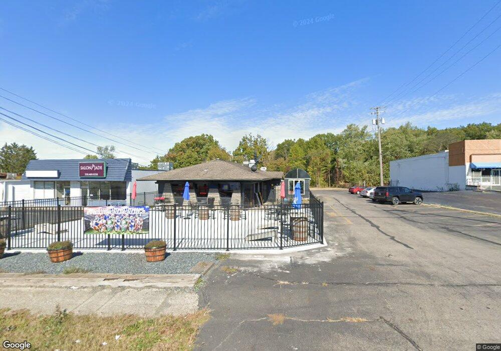
4740 Mahoning Ave Youngstown, OH 44515
Austintown NeighborhoodEstimated Value: $396,103
Studio
--
Bath
1,620
Sq Ft
$245/Sq Ft
Est. Value
About This Home
This home is located at 4740 Mahoning Ave, Youngstown, OH 44515 and is currently estimated at $396,103, approximately $244 per square foot. 4740 Mahoning Ave is a home located in Mahoning County with nearby schools including Austintown Elementary School, Austintown Intermediate School, and Austintown Middle School.
Ownership History
Date
Name
Owned For
Owner Type
Purchase Details
Closed on
Sep 7, 2017
Sold by
Danielle Dinsio Holdings Llc
Bought by
Mfairbanks Llc
Current Estimated Value
Home Financials for this Owner
Home Financials are based on the most recent Mortgage that was taken out on this home.
Original Mortgage
$150,000
Interest Rate
3.78%
Mortgage Type
Commercial
Purchase Details
Closed on
Aug 31, 1999
Bought by
Danielle Dinsio Holdings
Create a Home Valuation Report for This Property
The Home Valuation Report is an in-depth analysis detailing your home's value as well as a comparison with similar homes in the area
Home Values in the Area
Average Home Value in this Area
Purchase History
| Date | Buyer | Sale Price | Title Company |
|---|---|---|---|
| Mfairbanks Llc | $200,000 | None Available | |
| Danielle Dinsio Holdings | -- | -- |
Source: Public Records
Mortgage History
| Date | Status | Borrower | Loan Amount |
|---|---|---|---|
| Previous Owner | Mfairbanks Llc | $150,000 |
Source: Public Records
Tax History
| Year | Tax Paid | Tax Assessment Tax Assessment Total Assessment is a certain percentage of the fair market value that is determined by local assessors to be the total taxable value of land and additions on the property. | Land | Improvement |
|---|---|---|---|---|
| 2025 | $5,731 | $74,330 | $29,770 | $44,560 |
| 2024 | $5,097 | $74,330 | $29,770 | $44,560 |
| 2023 | $5,018 | $74,330 | $29,770 | $44,560 |
| 2022 | $5,738 | $70,000 | $27,780 | $42,220 |
| 2021 | $5,261 | $70,000 | $27,780 | $42,220 |
| 2020 | $5,805 | $70,000 | $27,780 | $42,220 |
| 2019 | $5,360 | $70,000 | $27,780 | $42,220 |
| 2018 | $5,816 | $70,000 | $27,780 | $42,220 |
| 2017 | $3,862 | $52,390 | $27,780 | $24,610 |
| 2016 | $4,289 | $57,390 | $29,770 | $27,620 |
| 2015 | $4,120 | $57,390 | $29,770 | $27,620 |
| 2014 | $4,129 | $57,390 | $29,770 | $27,620 |
| 2013 | $4,080 | $57,390 | $29,770 | $27,620 |
Source: Public Records
Map
Nearby Homes
- 225 S Raccoon Rd
- 4828 Shadow Oak Dr
- 4876 Shadow Oak Dr
- 4888 Shadow Oak Dr
- 406 S Raccoon Rd
- 0 Norquest Blvd Unit 5175953
- 0 Norquest Blvd Unit 5175593
- 5109 W Elmwood Ave
- 148 Marcia Dr
- 97 Idlewood Rd
- 603 S Raccoon Rd Unit 9
- 603 S Raccoon Rd Unit 14
- 603 S Raccoon Rd Unit 61
- 4258 Mahoning Ave
- 119 S Beverly Ave
- 181 N Yorkshire Blvd
- 116 Dehoff Dr
- 255 S Beverly Ave
- 122 S Edgehill Ave
- 158 Dehoff Dr
Your Personal Tour Guide
Ask me questions while you tour the home.