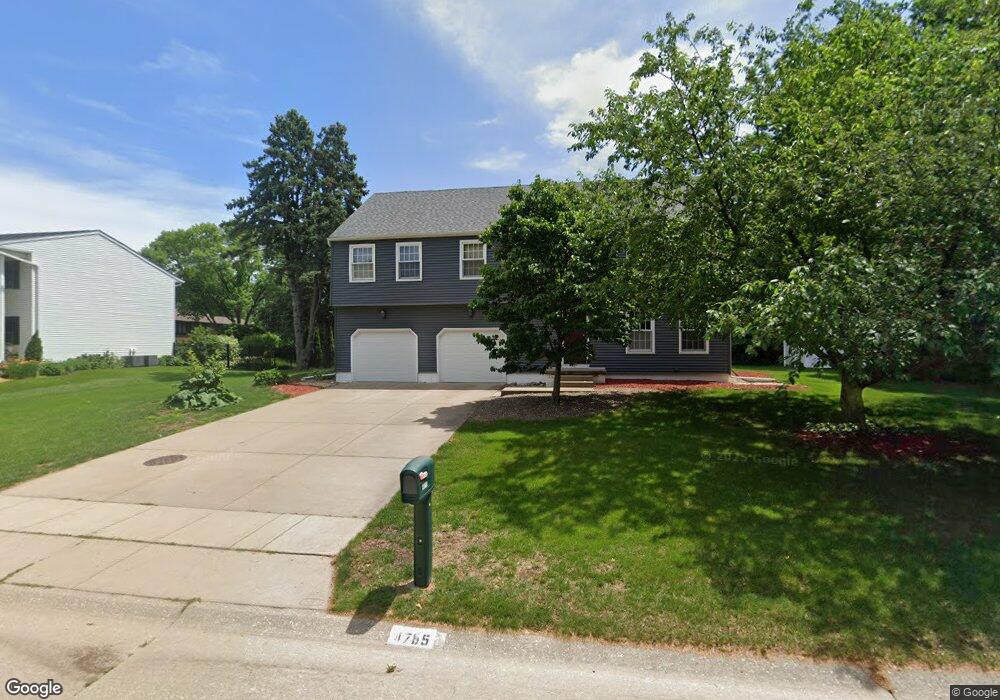
4755 Belle Ave Davenport, IA 52807
North Side NeighborhoodEstimated Value: $372,120 - $425,000
4
Beds
5
Baths
2,787
Sq Ft
$142/Sq Ft
Est. Value
About This Home
This home is located at 4755 Belle Ave, Davenport, IA 52807 and is currently estimated at $395,530, approximately $141 per square foot. 4755 Belle Ave is a home located in Scott County with nearby schools including Eisenhower Elementary School, Sudlow Intermediate School, and Central High School.
Ownership History
Date
Name
Owned For
Owner Type
Purchase Details
Closed on
Aug 19, 2015
Sold by
Duben Dean and Reeves Nancy J
Bought by
Burchett Lucinda J and Lucinda J Burchett Revocable Trust
Current Estimated Value
Create a Home Valuation Report for This Property
The Home Valuation Report is an in-depth analysis detailing your home's value as well as a comparison with similar homes in the area
Home Values in the Area
Average Home Value in this Area
Purchase History
| Date | Buyer | Sale Price | Title Company |
|---|---|---|---|
| Burchett Lucinda J | $270,000 | Attorney |
Source: Public Records
Tax History Compared to Growth
Tax History
| Year | Tax Paid | Tax Assessment Tax Assessment Total Assessment is a certain percentage of the fair market value that is determined by local assessors to be the total taxable value of land and additions on the property. | Land | Improvement |
|---|---|---|---|---|
| 2025 | $4,560 | $322,500 | $60,090 | $262,410 |
| 2024 | $4,498 | $287,510 | $60,090 | $227,420 |
| 2023 | $5,474 | $283,980 | $60,090 | $223,890 |
| 2022 | $5,498 | $268,550 | $54,860 | $213,690 |
| 2021 | $5,498 | $268,550 | $54,860 | $213,690 |
| 2020 | $5,120 | $258,180 | $54,860 | $203,320 |
| 2019 | $4,924 | $231,210 | $54,860 | $176,350 |
| 2018 | $4,814 | $231,210 | $54,860 | $176,350 |
| 2017 | $1,267 | $231,210 | $54,860 | $176,350 |
| 2016 | $4,812 | $231,800 | $0 | $0 |
| 2015 | $4,812 | $232,280 | $0 | $0 |
| 2014 | $4,892 | $226,100 | $0 | $0 |
| 2013 | $4,666 | $0 | $0 | $0 |
| 2012 | -- | $234,410 | $53,140 | $181,270 |
Source: Public Records
Map
Nearby Homes
- 1960 E 50th Ct
- 2321 E 47th St
- 2318 E 46th St
- 2403 E 51st St Unit 102E
- 1704 Stone Gate Cir
- 2422 E 51st St Unit E
- 4600 Eastern Ave
- 4324 Spring St
- 4230 Jersey Ridge Rd
- 4919 Lorton Ave
- 5810 Indigo Ave
- 5811 Duggleby Ave
- 1811 Katie Ct
- 1814 E 38th Street Ct Unit 4B
- 4005 Forest Rd
- 2006 E 59th Ct
- 2916 E 45th Ct
- 2116 E 60th St
- 2919 E 44th Ct
- 2924 E 45th Ct
- 4767 Belle Ave
- 4743 Belle Ave
- 4748 Kensington Ct
- 4758 Belle Ave
- 4748 Belle Ave
- 2123 E 48th St
- 2107 E 48th St
- 4731 Belle Ave
- 4768 Belle Ave
- 4742 Kensington Ct
- 4738 Belle Ave
- 4766 Kensington Ct
- 2025 E 48th St
- 4721 Belle Ave
- 4728 Belle Ave
- 4743 Kensington Ct
- 4741 Spring St
- 4735 Spring St
- 4755 Spring St
- 4753 Kensington Ct