4756 Highway 25 N Buffalo, MN 55313
Estimated Value: $505,000 - $690,000
3
Beds
2
Baths
1,216
Sq Ft
$501/Sq Ft
Est. Value
About This Home
This home is located at 4756 Highway 25 N, Buffalo, MN 55313 and is currently estimated at $609,700, approximately $501 per square foot. 4756 Highway 25 N is a home located in Wright County with nearby schools including Northwinds Elementary School, Buffalo Community Middle School, and Buffalo Senior High School.
Ownership History
Date
Name
Owned For
Owner Type
Purchase Details
Closed on
Jun 15, 2018
Sold by
Bond Timothy L and Bond Carla A
Bought by
Pettit Jeremy T
Current Estimated Value
Home Financials for this Owner
Home Financials are based on the most recent Mortgage that was taken out on this home.
Original Mortgage
$375,250
Outstanding Balance
$324,528
Interest Rate
4.5%
Mortgage Type
New Conventional
Estimated Equity
$285,172
Purchase Details
Closed on
Oct 1, 1999
Sold by
How Brian J and How Heidi A
Bought by
Bond Timothy L and Bond Carla A
Create a Home Valuation Report for This Property
The Home Valuation Report is an in-depth analysis detailing your home's value as well as a comparison with similar homes in the area
Home Values in the Area
Average Home Value in this Area
Purchase History
| Date | Buyer | Sale Price | Title Company |
|---|---|---|---|
| Pettit Jeremy T | $395,000 | Central Land Ttl Guarantee C | |
| Bond Timothy L | $165,360 | -- |
Source: Public Records
Mortgage History
| Date | Status | Borrower | Loan Amount |
|---|---|---|---|
| Open | Pettit Jeremy T | $375,250 |
Source: Public Records
Tax History Compared to Growth
Tax History
| Year | Tax Paid | Tax Assessment Tax Assessment Total Assessment is a certain percentage of the fair market value that is determined by local assessors to be the total taxable value of land and additions on the property. | Land | Improvement |
|---|---|---|---|---|
| 2025 | $5,562 | $637,600 | $277,600 | $360,000 |
| 2024 | $5,464 | $606,200 | $276,200 | $330,000 |
| 2023 | $5,598 | $618,200 | $278,400 | $339,800 |
| 2022 | $5,016 | $581,100 | $265,800 | $315,300 |
| 2021 | $4,738 | $464,300 | $184,800 | $279,500 |
| 2020 | $4,848 | $423,500 | $184,800 | $238,700 |
| 2019 | $4,366 | $414,500 | $0 | $0 |
| 2018 | $3,678 | $404,000 | $0 | $0 |
| 2017 | $3,606 | $343,700 | $0 | $0 |
| 2016 | $3,654 | $0 | $0 | $0 |
| 2015 | $3,654 | $0 | $0 | $0 |
| 2014 | -- | $0 | $0 | $0 |
Source: Public Records
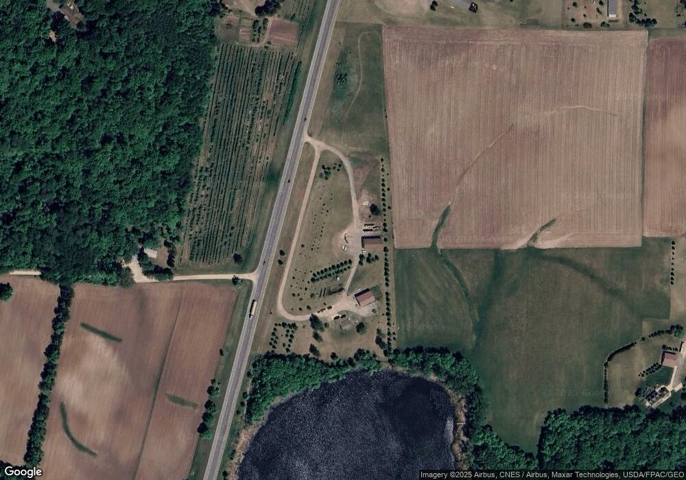
Map
Nearby Homes
- 2018 Kestrel Trail
- 1801 Hawk Trail
- 1800 Hawk Trail
- 1906 Hawk Trail
- 2230 Lake Pulaski Dr
- 2015 Pulaski Rd
- 2202 Saddlebrook Rd
- 2627 Arbor Dr
- 5910 Canterbury Ave NE
- 2503 Prairie View Ln
- 2617 Arbor Dr
- 2615 Arbor Dr
- The Augusta Plan at Arbor Meadows
- The Oak Ridge Plan at Arbor Meadows
- The Madison Plan at Arbor Meadows
- The Madison Villa Plan at Arbor Meadows
- The Weston Plan at Arbor Meadows
- The Augusta Villa Plan at Arbor Meadows
- The Brookview Plan at Arbor Meadows
- The Waterford Plan at Arbor Meadows
- 1814 47th St NE
- 1901 50th St NE
- 2243 50th St NE
- 2159 50th St NE
- 4505 Highway 25 N
- 1851 50th St NE
- 1739 50th St NE
- 2221 50th St NE
- 2313 50th St NE
- 1992 44th St NE
- 4450 Highway 25 N
- 1713 50th St NE
- 1981 44th St NE
- XXX35 Minnesota 25
- XXX10 50th St NE
- 1931 44th St NE
- 1881 44th St NE
- 1849 44th St NE
- XXX Minnesota 25
- 1665 50th St NE