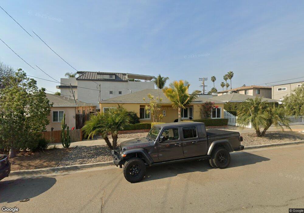
4758 Dawes St Unit 60 San Diego, CA 92109
Pacific Beach NeighborhoodEstimated Value: $1,222,653 - $1,289,000
4
Beds
2
Baths
1,392
Sq Ft
$896/Sq Ft
Est. Value
About This Home
This home is located at 4758 Dawes St Unit 60, San Diego, CA 92109 and is currently estimated at $1,247,884, approximately $896 per square foot. 4758 Dawes St Unit 60 is a home located in San Diego County with nearby schools including Pacific Beach Elementary School, Pacific Beach Middle, and Mission Bay High School.
Ownership History
Date
Name
Owned For
Owner Type
Purchase Details
Closed on
Jan 10, 2020
Sold by
Mcclintock Peter and Mcclintock Patricia
Bought by
Mcclintock Peter and Mcclintock Patrcia
Current Estimated Value
Purchase Details
Closed on
Oct 21, 2009
Sold by
Ring Family Partnership #3 Lp
Bought by
Mcclintock Peter and Mcclintock Patricia
Create a Home Valuation Report for This Property
The Home Valuation Report is an in-depth analysis detailing your home's value as well as a comparison with similar homes in the area
Home Values in the Area
Average Home Value in this Area
Purchase History
| Date | Buyer | Sale Price | Title Company |
|---|---|---|---|
| Mcclintock Peter | -- | None Available | |
| Mcclintock Peter | $430,000 | Chicago Title Company |
Source: Public Records
Mortgage History
| Date | Status | Borrower | Loan Amount |
|---|---|---|---|
| Closed | Mcclintock Peter | $0 |
Source: Public Records
Tax History Compared to Growth
Tax History
| Year | Tax Paid | Tax Assessment Tax Assessment Total Assessment is a certain percentage of the fair market value that is determined by local assessors to be the total taxable value of land and additions on the property. | Land | Improvement |
|---|---|---|---|---|
| 2025 | $6,718 | $555,037 | $425,964 | $129,073 |
| 2024 | $6,718 | $544,155 | $417,612 | $126,543 |
| 2023 | $6,570 | $533,486 | $409,424 | $124,062 |
| 2022 | $6,395 | $523,027 | $401,397 | $121,630 |
| 2021 | $6,352 | $512,773 | $393,527 | $119,246 |
| 2020 | $6,275 | $507,516 | $389,492 | $118,024 |
| 2019 | $6,163 | $497,565 | $381,855 | $115,710 |
| 2018 | $5,763 | $487,810 | $374,368 | $113,442 |
| 2017 | $80 | $478,246 | $367,028 | $111,218 |
| 2016 | $5,534 | $468,870 | $359,832 | $109,038 |
| 2015 | $5,453 | $461,828 | $354,427 | $107,401 |
| 2014 | $5,367 | $452,783 | $347,485 | $105,298 |
Source: Public Records
Map
Nearby Homes
- 1220 Emerald St
- 1270 Emerald St
- 4944 Cass St Unit 1003
- 4944 Cass St Unit 409
- 4944 Cass St Unit 407
- 4975 Dawes St
- 1235 Wilbur Ave
- 707 Diamond St Unit U1
- 835 Felspar St Week 6
- 924 Hornblend St Unit 210
- 4667 Ocean Blvd Unit 106
- 4767 Ocean Blvd
- 4767 Ocean Blvd Unit 411
- 4475 Mission Blvd Unit 1
- 1402 Wilbur Ave
- 866 Grand Ave
- 1434-44 Garnet Ave
- 1118 Thomas Ave
- 1367 Hornblend St
- 4465 Ocean Blvd Unit 4
- 1078 Missouri St Unit U1
- 4764 Dawes St
- 4758 Dawes St
- 1078/1080 Missouri St
- 1070 Missouri St
- 1066 Missouri St Unit 70
- 1062 Missouri St Unit 64
- 1075 Chalcedony St
- 1050 Missouri St Unit 52
- 4765 Dawes St
- 1104 Missouri St
- 1061 Chalcedony St
- 1069 Chalcedony St
- 4775 Dawes St
- 1042 - 104 Missouri St
- 1044 Missouri St
- 1042 Missouri St
- 1053 Chalcedony St
- 1071 Missouri St Unit 75
- 4783 Dawes St