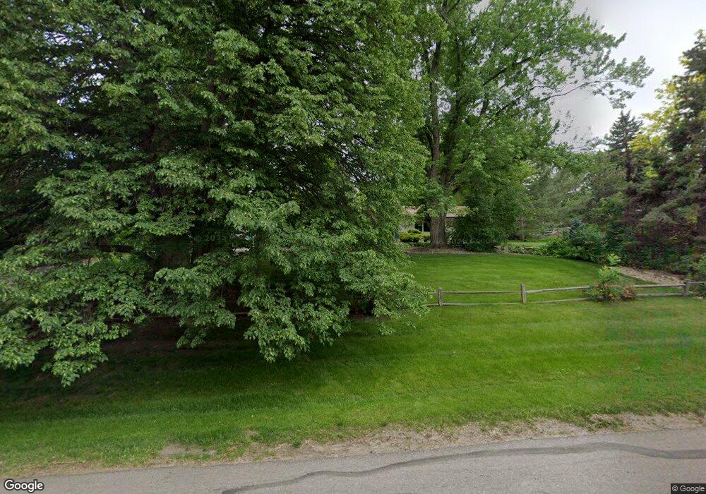
4760 W Wagontrail Rd Littleton, CO 80123
Estimated Value: $1,353,245 - $2,060,000
4
Beds
3
Baths
2,685
Sq Ft
$637/Sq Ft
Est. Value
About This Home
This home is located at 4760 W Wagontrail Rd, Littleton, CO 80123 and is currently estimated at $1,709,561, approximately $636 per square foot. 4760 W Wagontrail Rd is a home located in Arapahoe County with nearby schools including Wilder Elementary School, Goddard Middle School, and Littleton High School.
Ownership History
Date
Name
Owned For
Owner Type
Purchase Details
Closed on
Sep 27, 2000
Sold by
Moore Jerry W and Moore Anne
Bought by
Deats Thomas J and Deats Lynne F
Current Estimated Value
Home Financials for this Owner
Home Financials are based on the most recent Mortgage that was taken out on this home.
Original Mortgage
$495,000
Outstanding Balance
$181,166
Interest Rate
7.97%
Mortgage Type
Stand Alone First
Estimated Equity
$1,528,395
Purchase Details
Closed on
Nov 1, 1983
Sold by
Conversion Arapco
Bought by
Conversion Arapco
Purchase Details
Closed on
Jul 4, 1776
Bought by
Conversion Arapco
Create a Home Valuation Report for This Property
The Home Valuation Report is an in-depth analysis detailing your home's value as well as a comparison with similar homes in the area
Home Values in the Area
Average Home Value in this Area
Purchase History
| Date | Buyer | Sale Price | Title Company |
|---|---|---|---|
| Deats Thomas J | $566,000 | -- | |
| Conversion Arapco | -- | -- | |
| Conversion Arapco | -- | -- |
Source: Public Records
Mortgage History
| Date | Status | Borrower | Loan Amount |
|---|---|---|---|
| Open | Deats Thomas J | $495,000 |
Source: Public Records
Tax History Compared to Growth
Tax History
| Year | Tax Paid | Tax Assessment Tax Assessment Total Assessment is a certain percentage of the fair market value that is determined by local assessors to be the total taxable value of land and additions on the property. | Land | Improvement |
|---|---|---|---|---|
| 2024 | $8,675 | $71,623 | -- | -- |
| 2023 | $8,675 | $71,623 | $0 | $0 |
| 2022 | $8,907 | $69,563 | $0 | $0 |
| 2021 | $8,885 | $69,563 | $0 | $0 |
| 2020 | $6,849 | $56,235 | $0 | $0 |
| 2019 | $6,518 | $56,235 | $0 | $0 |
| 2018 | $5,637 | $49,586 | $0 | $0 |
| 2017 | $5,267 | $49,586 | $0 | $0 |
| 2016 | $5,416 | $50,458 | $0 | $0 |
| 2015 | $5,386 | $50,458 | $0 | $0 |
| 2014 | -- | $51,660 | $0 | $0 |
| 2013 | -- | $58,660 | $0 | $0 |
Source: Public Records
Map
Nearby Homes
- 4645 W Temple Place
- 4700 S Sheridan Blvd
- 4636 S Yates St
- 4665 S Raleigh St
- 4720 W Stanford Ave
- 5300 Yellowstone St Unit 9
- 5300 Yellowstone St
- 4201 W Tufts Ave
- 4244 W Monmouth Ave
- 4474 S Vrain St
- 4621 S Perry Way
- 5350 Yellowstone St
- 4155 W Stanford Ave
- 3963 W Temple Place
- 5095 S Osceola St
- 5134 S Perry St
- 4090 W Wagon Trail Dr
- 4415 S Tennyson St
- 5030 Aspen Dr
- 3999 W Chenango Ave
- 4800 W Wagontrail Rd
- 4720 W Wagontrail Rd
- 4720 W Wagon Trail Rd
- 4801 Homestead St
- 4721 Homestead St
- 4777 W Wagon Trail Rd
- 4747 W Wagon Trail Rd
- 4747 W Wagontrail Rd
- 4777 W Wagontrail Rd
- 4700 W Wagontrail Rd
- 4900 W Wagontrail Rd
- 4901 Homestead St
- 4727 W Wagontrail Rd
- 4801 W Wagon Trail Rd
- 4801 W Wagontrail Rd
- 4742 W Union Ave
- 4702 W Union Ave
- 4677 W Wagontrail Rd
- 4677 W Wagon Trail Rd
- 4782 W Union Ave