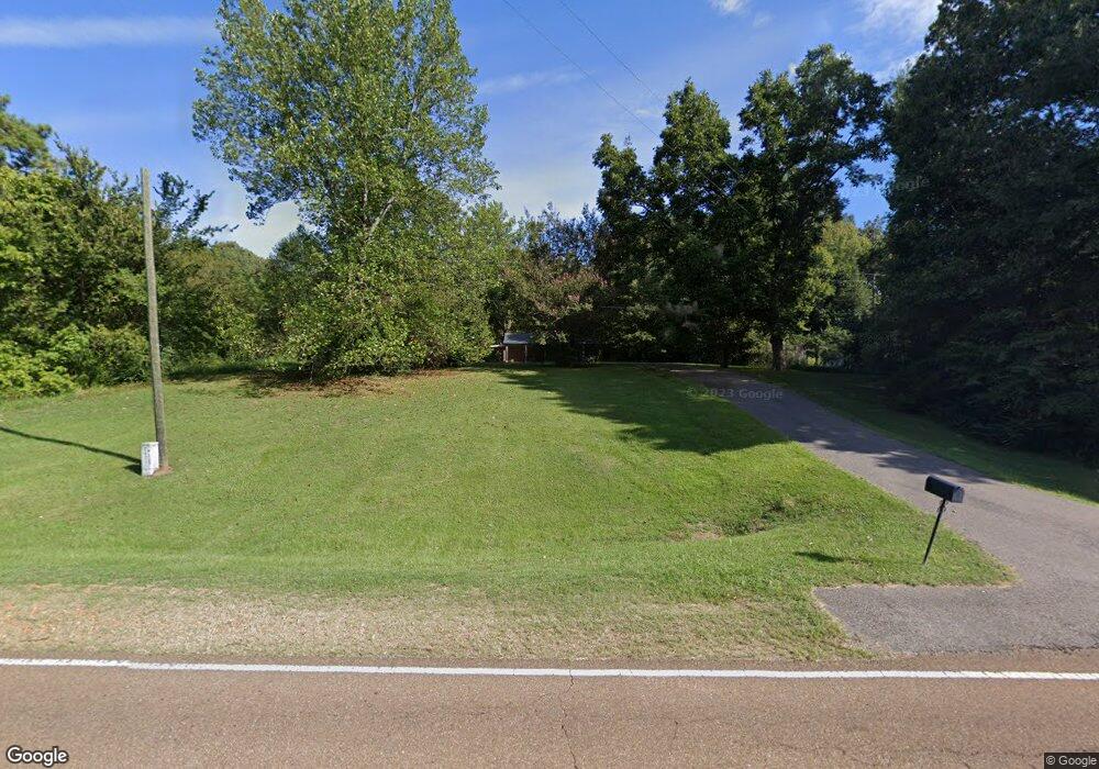
4762 Highway 304 Hernando, MS 38632
Estimated Value: $155,919 - $233,000
3
Beds
--
Bath
1,083
Sq Ft
$177/Sq Ft
Est. Value
About This Home
This home is located at 4762 Highway 304, Hernando, MS 38632 and is currently estimated at $192,230, approximately $177 per square foot. 4762 Highway 304 is a home located in DeSoto County with nearby schools including Oak Grove Central Elementary School, Hernando Elementary School, and Hernando Hills Elementary.
Ownership History
Date
Name
Owned For
Owner Type
Purchase Details
Closed on
Mar 24, 2014
Sold by
Carter Joleta C and Carter Joletta C
Bought by
Padgett Emory C and Padgett Melissa L
Current Estimated Value
Purchase Details
Closed on
Aug 30, 2013
Sold by
Carter John C
Bought by
Padgett Emory C and Padgett Melissa L
Home Financials for this Owner
Home Financials are based on the most recent Mortgage that was taken out on this home.
Original Mortgage
$40,000
Interest Rate
4.39%
Mortgage Type
New Conventional
Create a Home Valuation Report for This Property
The Home Valuation Report is an in-depth analysis detailing your home's value as well as a comparison with similar homes in the area
Home Values in the Area
Average Home Value in this Area
Purchase History
| Date | Buyer | Sale Price | Title Company |
|---|---|---|---|
| Padgett Emory C | -- | None Available | |
| Padgett Emory C | -- | None Available |
Source: Public Records
Mortgage History
| Date | Status | Borrower | Loan Amount |
|---|---|---|---|
| Previous Owner | Padgett Emory C | $40,000 |
Source: Public Records
Tax History
| Year | Tax Paid | Tax Assessment Tax Assessment Total Assessment is a certain percentage of the fair market value that is determined by local assessors to be the total taxable value of land and additions on the property. | Land | Improvement |
|---|---|---|---|---|
| 2025 | $673 | $8,162 | $525 | $7,637 |
| 2024 | $584 | $5,839 | $525 | $5,314 |
| 2023 | $584 | $5,839 | $0 | $0 |
| 2022 | $584 | $5,839 | $525 | $5,314 |
| 2021 | $575 | $5,750 | $525 | $5,225 |
| 2020 | $533 | $5,332 | $0 | $0 |
| 2019 | $533 | $5,332 | $525 | $4,807 |
| 2017 | $527 | $9,947 | $5,236 | $4,711 |
| 2016 | $527 | $5,236 | $525 | $4,711 |
| 2015 | $527 | $9,947 | $5,236 | $4,711 |
| 2014 | $527 | $5,236 | $0 | $0 |
| 2013 | $527 | $5,236 | $0 | $0 |
Source: Public Records
Map
Nearby Homes
- 0 Fogg Rd S
- 2836 Oak Grove Cove
- 4883 W Oak Grove Rd
- 1778 Sunset Farms Dr
- 0 Fogg Rd S Unit 4098913
- 6 Fogg Rd S
- 5300 Purvis Place
- 2501 Lamar Place N
- 2597 Oak Manor Dr
- 37 Deerwood Dr
- 21 Hazelwood Dr
- 39 Deerwood Dr
- 38 Deerwood Dr
- 2545 Scott Meadows Ln
- 2521 Scott Meadows Ln
- 36 Deerwood Dr
- 25 Riverwood Cove N
- 2526 Scott Meadows Ln
- 0 Davis Ln
- 4716 W Commerce St
- 80 Highway Unit 301
- 80 Highway Unit 304
- 80 Highway
- 4716 Highway
- 4803 W Commerce St
- 4811 Highway 304
- 4920 W Commerce St
- 4675 W Commerce St
- 4512 W Commerce St
- 4512 W Commerce St
- 4512 W Commerce St
- 4809 W Commerce St
- 4550 W Hwy Unit 304
- 4550 W Hwy
- 2066 Fogg Rd S
- 4671 W Commerce St
- 4671 W Commerce St
- 4516 Highway 304
- 100 Fogg Rd
Your Personal Tour Guide
Ask me questions while you tour the home.