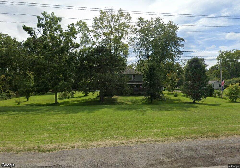
47657 Us Highway 20 Oberlin, OH 44074
Estimated Value: $334,000 - $391,945
3
Beds
2
Baths
2,352
Sq Ft
$154/Sq Ft
Est. Value
About This Home
This home is located at 47657 Us Highway 20, Oberlin, OH 44074 and is currently estimated at $363,315, approximately $154 per square foot. 47657 Us Highway 20 is a home located in Lorain County with nearby schools including Oberlin Elementary School, Prospect Elementary School, and Langston Middle School.
Ownership History
Date
Name
Owned For
Owner Type
Purchase Details
Closed on
Apr 22, 2009
Sold by
Us Bank National Association
Bought by
Teter Ronald S
Current Estimated Value
Purchase Details
Closed on
Sep 11, 2008
Sold by
Dolan Carl Leland and Dolan Brenda Lee
Bought by
Us Bank National Association
Create a Home Valuation Report for This Property
The Home Valuation Report is an in-depth analysis detailing your home's value as well as a comparison with similar homes in the area
Home Values in the Area
Average Home Value in this Area
Purchase History
| Date | Buyer | Sale Price | Title Company |
|---|---|---|---|
| Teter Ronald S | $51,000 | Nova Title Agency Inc | |
| Us Bank National Association | $80,000 | None Available |
Source: Public Records
Tax History Compared to Growth
Tax History
| Year | Tax Paid | Tax Assessment Tax Assessment Total Assessment is a certain percentage of the fair market value that is determined by local assessors to be the total taxable value of land and additions on the property. | Land | Improvement |
|---|---|---|---|---|
| 2024 | $4,913 | $114,933 | $31,833 | $83,101 |
| 2023 | $2,866 | $63,497 | $30,202 | $33,296 |
| 2022 | $2,806 | $63,497 | $30,202 | $33,296 |
| 2021 | $2,802 | $63,497 | $30,202 | $33,296 |
| 2020 | $2,240 | $49,570 | $23,580 | $25,990 |
| 2019 | $2,203 | $49,570 | $23,580 | $25,990 |
| 2018 | $2,109 | $49,570 | $23,580 | $25,990 |
| 2017 | $1,999 | $45,850 | $22,170 | $23,680 |
| 2016 | $2,018 | $45,850 | $22,170 | $23,680 |
| 2015 | $2,019 | $45,850 | $22,170 | $23,680 |
| 2014 | $2,096 | $45,140 | $22,170 | $22,970 |
| 2013 | $1,961 | $45,140 | $22,170 | $22,970 |
Source: Public Records
Map
Nearby Homes
- 47094 Us Highway 20
- 396 Reserve Ave
- 263 W Lincoln St
- 14409 State Route 58
- 16963 Pitts Rd
- 257 Morgan St
- 147 Morgan St
- 149 Morgan St
- 0 Ohio 303
- 48685 Ohio 303
- 461 W Lorain St
- 296 S Pleasant St
- 18 Edison St
- 182 E Hamilton St
- 190 Elm St
- 123 S Professor St
- 121 S Professor St
- 252 W College St
- 89 S Professor St
- 81 S Professor St
- 47687 Us Highway 20
- 47657 U S 20
- 47755 Us Highway 20
- 47755 U S 20
- 47755 St Rt 20
- 47597 Us Highway 20
- 47581 Us Highway 20
- 47581 Us Highway 20
- 47773 Us Highway 20
- 47785 Us Highway 20
- 47543 Us Highway 20
- 47795 Us Highway 20
- 47833 Us Highway 20
- 47505 Us Highway 20
- 47584 Us Highway 20
- 47471 Us Highway 20
- 47676 Us Highway 20
- 47780 Us Highway 20
- 47824 Us Highway 20
- 47481 U S 20