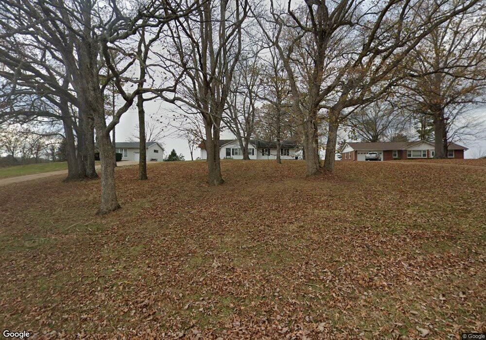
477 Augustine Rd Eureka, MO 63025
Estimated Value: $315,816 - $376,000
2
Beds
2
Baths
2,146
Sq Ft
$166/Sq Ft
Est. Value
About This Home
This home is located at 477 Augustine Rd, Eureka, MO 63025 and is currently estimated at $356,204, approximately $165 per square foot. 477 Augustine Rd is a home located in St. Louis County with nearby schools including Blevins Elementary School, Lasalle Springs Middle School, and Eureka Senior High School.
Ownership History
Date
Name
Owned For
Owner Type
Purchase Details
Closed on
Jan 24, 2019
Sold by
Robert L Gudermuth Rlt
Bought by
Shirley A Gudermuth Rlt
Current Estimated Value
Purchase Details
Closed on
May 8, 1998
Sold by
Lee Gudermuth Robert and Ann Shirley
Bought by
Gudermuth Robert L and Gudermuth Shirley A
Purchase Details
Closed on
Oct 23, 1997
Sold by
Gudermuth Robert Lee and Gudermuth Shirley Ann
Bought by
Gudermuth Robert L and Gudermuth Shirley A
Create a Home Valuation Report for This Property
The Home Valuation Report is an in-depth analysis detailing your home's value as well as a comparison with similar homes in the area
Home Values in the Area
Average Home Value in this Area
Purchase History
| Date | Buyer | Sale Price | Title Company |
|---|---|---|---|
| Shirley A Gudermuth Rlt | -- | None Available | |
| Shirley Gudermuth Family Trust | -- | None Available | |
| Gudermuth Robert L | -- | -- | |
| Gudermuth Robert L | -- | -- |
Source: Public Records
Tax History
| Year | Tax Paid | Tax Assessment Tax Assessment Total Assessment is a certain percentage of the fair market value that is determined by local assessors to be the total taxable value of land and additions on the property. | Land | Improvement |
|---|---|---|---|---|
| 2025 | $3,702 | $48,190 | $19,590 | $28,600 |
| 2024 | $3,702 | $50,980 | $13,720 | $37,260 |
| 2023 | $3,703 | $50,980 | $13,720 | $37,260 |
| 2022 | $3,084 | $39,520 | $14,690 | $24,830 |
| 2021 | $3,059 | $39,520 | $14,690 | $24,830 |
| 2020 | $2,672 | $33,040 | $11,630 | $21,410 |
| 2019 | $2,681 | $33,040 | $11,630 | $21,410 |
| 2018 | $2,263 | $26,300 | $8,720 | $17,580 |
| 2016 | $2,483 | $28,900 | $6,820 | $22,080 |
Source: Public Records
Map
Nearby Homes
- 331 Artic Fox Ct
- 369 Cerny Ave
- 814 Eureka Rd
- 318 Kevin Jon Ct
- 1000 Eureka Rd
- 329 Kevin Jon Ct
- 75 Old Farmhouse Way
- 808 Lower Field Ln
- 826 Lower Field Ln
- 83 Old Farmhouse Way
- 830 Lower Field Ln
- 1075 Eureka Rd
- 118 Towne Square Ct Unit D4
- 125 Towne Square Ct Unit 4E
- 345 Palisades Ridge Ct
- 7887 Jim Weber Rd
- 45 +/- Ac Twin River Rd
- 32+/- Ac Twin River Rd
- 12.5 +/- Ac Twin River Rd
- 637 N Virginia Ave
- 483 Augustine Rd
- 471 Augustine Rd
- 465 Augustine Rd
- 454 Augustine Rd
- 520 Maureen Dr
- 459 Augustine Rd
- 434 Maureen Dr
- 505 Maureen Dr
- 513 Maureen Dr
- 501 Maureen Dr
- 517 Maureen Dr
- 511 Maureen Dr
- 412 Maureen Dr
- 523 Maureen Dr
- 501 Maureen Dr
- 415 Maureen Dr
- 304 Maureen Ct
- 408 Maureen Dr
- 306 Maureen Ct
- 451 Augustine Rd
Your Personal Tour Guide
Ask me questions while you tour the home.