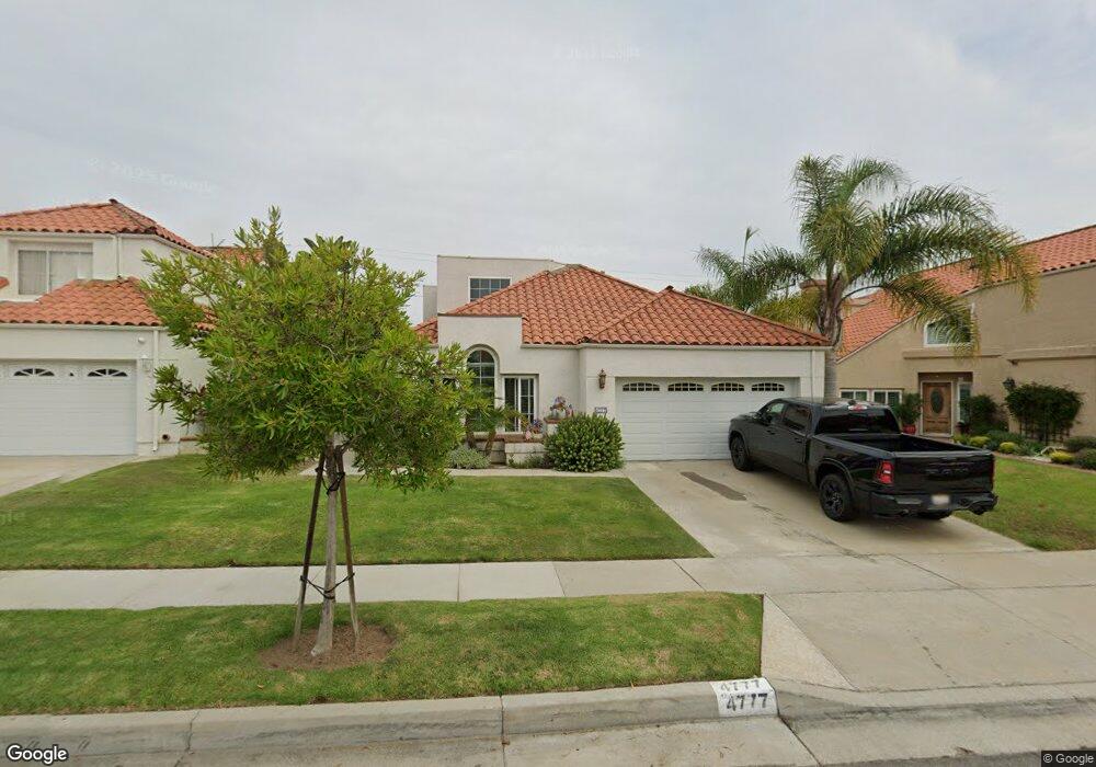
4777 Steele St Torrance, CA 90503
West Torrance NeighborhoodEstimated Value: $1,436,794 - $1,690,000
3
Beds
2
Baths
2,124
Sq Ft
$746/Sq Ft
Est. Value
About This Home
This home is located at 4777 Steele St, Torrance, CA 90503 and is currently estimated at $1,584,949, approximately $746 per square foot. 4777 Steele St is a home located in Los Angeles County with nearby schools including Towers Elementary School, Bert M. Lynn Middle School, and West High School.
Ownership History
Date
Name
Owned For
Owner Type
Purchase Details
Closed on
Sep 24, 2010
Sold by
Cho Gary L and Cho Ellen H
Bought by
Cho Gary L and Cho Ellen H
Current Estimated Value
Home Financials for this Owner
Home Financials are based on the most recent Mortgage that was taken out on this home.
Original Mortgage
$417,000
Interest Rate
4.26%
Mortgage Type
New Conventional
Purchase Details
Closed on
Mar 18, 2006
Sold by
Cho Gary L and Cho Ellen H
Bought by
Cho Gary I
Create a Home Valuation Report for This Property
The Home Valuation Report is an in-depth analysis detailing your home's value as well as a comparison with similar homes in the area
Home Values in the Area
Average Home Value in this Area
Purchase History
| Date | Buyer | Sale Price | Title Company |
|---|---|---|---|
| Cho Gary L | -- | First American Title Company | |
| Cho Gary L | -- | First American Title Company | |
| Cho Gary I | -- | None Available |
Source: Public Records
Mortgage History
| Date | Status | Borrower | Loan Amount |
|---|---|---|---|
| Closed | Cho Gary L | $417,000 |
Source: Public Records
Tax History
| Year | Tax Paid | Tax Assessment Tax Assessment Total Assessment is a certain percentage of the fair market value that is determined by local assessors to be the total taxable value of land and additions on the property. | Land | Improvement |
|---|---|---|---|---|
| 2025 | $5,806 | $488,858 | $213,661 | $275,197 |
| 2024 | $5,806 | $479,273 | $209,472 | $269,801 |
| 2023 | $5,703 | $469,876 | $205,365 | $264,511 |
| 2022 | $5,628 | $460,664 | $201,339 | $259,325 |
| 2021 | $5,519 | $451,633 | $197,392 | $254,241 |
| 2019 | $5,363 | $438,239 | $191,538 | $246,701 |
| 2018 | $5,149 | $429,647 | $187,783 | $241,864 |
| 2016 | $4,908 | $412,965 | $180,492 | $232,473 |
| 2015 | $4,803 | $406,763 | $177,781 | $228,982 |
| 2014 | $4,684 | $398,796 | $174,299 | $224,497 |
Source: Public Records
Map
Nearby Homes
- 4730 Towers St
- 4542 W 191st St
- 2809 190th St Unit B
- 4509 Cadison St
- 20017 Bernist Ave
- 2504 Fisk Ln
- 606 Phelan Ln
- 20020 Donora Ave
- 18528 Kingsdale Ave
- 2516 185th St
- 2345 W 190th St Unit 77
- 1004 Firmona Ave
- 2345 190th St Unit 63
- 20331 Anza Ave Unit 10
- 4804 Del Amo Blvd
- 2700 183rd St
- 511 Meyer Ln Unit 8
- 2420 Ives Ln Unit B
- 2420 Ives Ln Unit A
- 2217 190th St
Your Personal Tour Guide
Ask me questions while you tour the home.