478 Holifield Cir Brandon, MS 39042
Estimated Value: $173,000 - $372,000
3
Beds
1
Bath
1,902
Sq Ft
$149/Sq Ft
Est. Value
About This Home
This home is located at 478 Holifield Cir, Brandon, MS 39042 and is currently estimated at $284,238, approximately $149 per square foot. 478 Holifield Cir is a home located in Rankin County with nearby schools including McLaurin Elementary School.
Ownership History
Date
Name
Owned For
Owner Type
Purchase Details
Closed on
Apr 20, 2024
Sold by
Robertson Lynda K and Robertson Linda R
Bought by
Robertson Linda R
Current Estimated Value
Home Financials for this Owner
Home Financials are based on the most recent Mortgage that was taken out on this home.
Original Mortgage
$366,000
Interest Rate
7.02%
Mortgage Type
Credit Line Revolving
Create a Home Valuation Report for This Property
The Home Valuation Report is an in-depth analysis detailing your home's value as well as a comparison with similar homes in the area
Purchase History
| Date | Buyer | Sale Price | Title Company |
|---|---|---|---|
| Robertson Linda R | -- | None Listed On Document |
Source: Public Records
Mortgage History
| Date | Status | Borrower | Loan Amount |
|---|---|---|---|
| Open | Robertson Linda R | $366,000 | |
| Previous Owner | Robertson Linda R | $366,000 |
Source: Public Records
Tax History
| Year | Tax Paid | Tax Assessment Tax Assessment Total Assessment is a certain percentage of the fair market value that is determined by local assessors to be the total taxable value of land and additions on the property. | Land | Improvement |
|---|---|---|---|---|
| 2025 | $894 | $11,878 | $0 | $0 |
| 2024 | $876 | $11,912 | $0 | $0 |
| 2023 | $22 | $9,232 | $0 | $0 |
| 2022 | $22 | $9,235 | $0 | $0 |
| 2021 | $22 | $8,685 | $0 | $0 |
| 2020 | $52 | $8,998 | $0 | $0 |
| 2019 | $54 | $8,051 | $0 | $0 |
| 2018 | $54 | $8,051 | $0 | $0 |
| 2017 | $54 | $8,052 | $0 | $0 |
| 2016 | $76 | $8,319 | $0 | $0 |
| 2015 | $76 | $8,314 | $0 | $0 |
| 2014 | $72 | $8,291 | $0 | $0 |
| 2013 | -- | $8,273 | $0 | $0 |
Source: Public Records
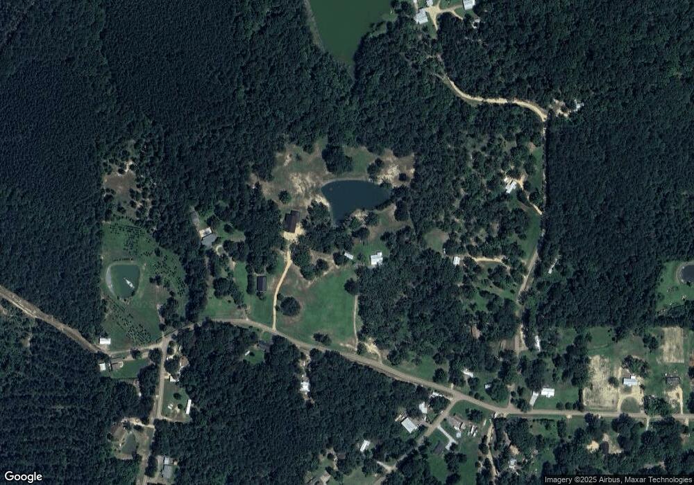
Map
Nearby Homes
- 1264 Shell Oil Rd
- 4167 Highway 18
- 4016 Highway 18
- J05 Red Light Rd
- 0 Joe Davis Dr
- 413 Michael Dr
- 0 Easy St
- 0 Donna Ashley St
- 128 Oak Tree Ln
- 308 Stronghold Dr
- 310 Stronghold Dr
- 217 New Haven Ln
- 325 Stronghold Dr
- 305 Stronghold Dr
- 312 Stronghold Dr
- 306 Stronghold Dr
- 321 Stronghold Dr
- 1105 Rock Hill Rd
- 176 Will Stutely Dr
- 1142 Sanctuary Dr
- 486 Holifield Cir
- 485 Holifield Cir
- 637 Holifield Cir
- 500 Holifield Cir
- 0 Holifield Cir Unit 1329896
- 0 Holifield Cir
- 506 Holifield Cir
- 447 Holifield Cir
- 611 Holifield Cir
- 622 Holifield Cir
- 180 Hollyberry Rd
- 426 Holifield Cir
- 518 Holifield Cir
- 601 Holifield Cir
- 431 Holifield Cir
- 530 Holifield Cir
- 453 Holifield Cir
- 423 Holifield Cir
- 540 Holifield Cir
- 1298 Shell Oil Rd
Your Personal Tour Guide
Ask me questions while you tour the home.