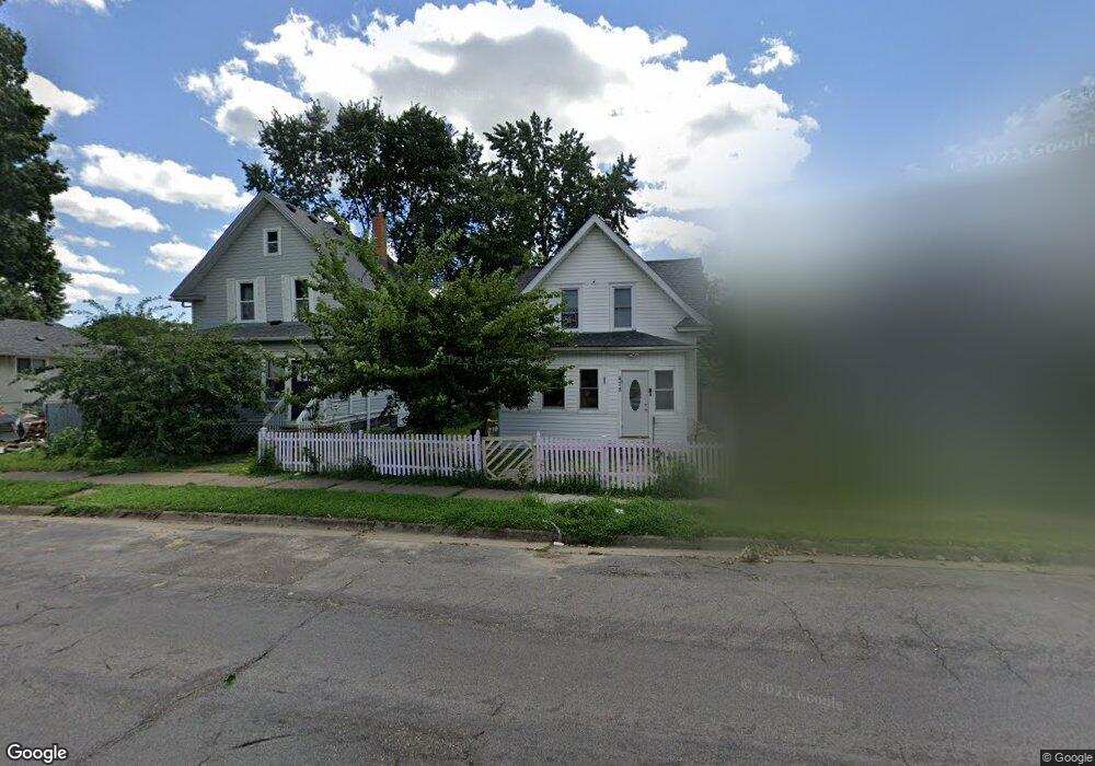
478 Thomas Ave Saint Paul, MN 55103
Frogtown NeighborhoodEstimated Value: $227,000 - $240,000
3
Beds
1
Bath
1,073
Sq Ft
$216/Sq Ft
Est. Value
About This Home
This home is located at 478 Thomas Ave, Saint Paul, MN 55103 and is currently estimated at $231,516, approximately $215 per square foot. 478 Thomas Ave is a home located in Ramsey County with nearby schools including Jackson Elementary, Hidden River Middle School, and Central Senior High School.
Ownership History
Date
Name
Owned For
Owner Type
Purchase Details
Closed on
Oct 19, 2018
Sold by
Ortega Julie
Bought by
Tran Trieu V
Current Estimated Value
Home Financials for this Owner
Home Financials are based on the most recent Mortgage that was taken out on this home.
Original Mortgage
$133,600
Outstanding Balance
$116,755
Interest Rate
4.6%
Mortgage Type
New Conventional
Estimated Equity
$114,761
Purchase Details
Closed on
Apr 2, 2018
Sold by
Deutsche Bank National Tr Co
Bought by
Ortega Julie
Purchase Details
Closed on
Sep 25, 1997
Sold by
Va
Bought by
Bankers Trust Co Of California Na
Purchase Details
Closed on
Jun 20, 1997
Sold by
Va
Bought by
Walker Lawrence
Create a Home Valuation Report for This Property
The Home Valuation Report is an in-depth analysis detailing your home's value as well as a comparison with similar homes in the area
Home Values in the Area
Average Home Value in this Area
Purchase History
| Date | Buyer | Sale Price | Title Company |
|---|---|---|---|
| Tran Trieu V | $167,000 | Results Title | |
| Ortega Julie | $69,500 | None Available | |
| Bankers Trust Co Of California Na | $26,965 | -- | |
| Walker Lawrence | $30,100 | -- |
Source: Public Records
Mortgage History
| Date | Status | Borrower | Loan Amount |
|---|---|---|---|
| Open | Tran Trieu V | $133,600 | |
| Closed | Walker Lawrence | -- |
Source: Public Records
Tax History Compared to Growth
Tax History
| Year | Tax Paid | Tax Assessment Tax Assessment Total Assessment is a certain percentage of the fair market value that is determined by local assessors to be the total taxable value of land and additions on the property. | Land | Improvement |
|---|---|---|---|---|
| 2025 | $3,876 | $247,300 | $25,000 | $222,300 |
| 2023 | $3,876 | $213,800 | $20,000 | $193,800 |
| 2022 | $2,618 | $206,400 | $20,000 | $186,400 |
| 2021 | $2,336 | $177,100 | $20,000 | $157,100 |
| 2020 | $2,364 | $165,800 | $10,100 | $155,700 |
| 2019 | $1,002 | $158,000 | $10,100 | $147,900 |
| 2018 | $2,314 | $81,000 | $10,100 | $70,900 |
| 2017 | $1,230 | $68,000 | $10,100 | $57,900 |
| 2016 | $1,516 | $0 | $0 | $0 |
| 2015 | $1,197 | $61,000 | $11,200 | $49,800 |
| 2014 | $1,446 | $0 | $0 | $0 |
Source: Public Records
Map
Nearby Homes
- 465 Edmund Ave
- 481 Edmund Ave
- 482 Edmund Ave
- 534 Thomas Ave
- 395 Thomas Ave
- 429 Sherburne Ave
- 601 Western Ave N
- 538 Charles Ave
- 553 Charles Ave
- 566 Edmund Ave
- 547 Blair Ave
- 553 Blair Ave
- 597 Virginia St
- 511 Van Buren Ave
- 627 Virginia St
- 371 Sherburne Ave
- 594 Charles Ave
- 610 Charles Ave
- 644 Dale St N
- 313 Edmund Ave
- 474 Thomas Ave
- 482 Thomas Ave
- 468 Thomas Ave
- 486 Thomas Ave
- 466 Thomas Ave W
- 464 Thomas Ave
- 490 Thomas Ave
- 481 Edmund Ave W
- 477 Edmund Ave
- 471 Edmund Ave
- 485 Edmund Ave
- 462 Thomas Ave
- 494 Thomas Ave
- 489 Edmund Ave
- 477 Thomas Ave
- 458 Thomas Ave
- 481 Thomas Ave
- 496 Thomas Ave
- 469 Thomas Ave
- 463 Edmund Ave