4789 Foxtail Ln Saint Paul, MN 55129
Estimated Value: $774,000 - $874,000
5
Beds
5
Baths
3,564
Sq Ft
$230/Sq Ft
Est. Value
About This Home
This home is located at 4789 Foxtail Ln, Saint Paul, MN 55129 and is currently estimated at $819,383, approximately $229 per square foot. 4789 Foxtail Ln is a home located in Anoka County with nearby schools including Red Rock Elementary School, Lake Middle School, and East Ridge High School.
Ownership History
Date
Name
Owned For
Owner Type
Purchase Details
Closed on
May 20, 2016
Sold by
Us Home Corporation
Bought by
Sambasivam Sivaraman and Sivaraman Sarasa
Current Estimated Value
Home Financials for this Owner
Home Financials are based on the most recent Mortgage that was taken out on this home.
Original Mortgage
$417,000
Outstanding Balance
$331,202
Interest Rate
3.59%
Mortgage Type
New Conventional
Estimated Equity
$488,181
Create a Home Valuation Report for This Property
The Home Valuation Report is an in-depth analysis detailing your home's value as well as a comparison with similar homes in the area
Home Values in the Area
Average Home Value in this Area
Purchase History
| Date | Buyer | Sale Price | Title Company |
|---|---|---|---|
| Sambasivam Sivaraman | $635,021 | North American Title Company |
Source: Public Records
Mortgage History
| Date | Status | Borrower | Loan Amount |
|---|---|---|---|
| Open | Sambasivam Sivaraman | $417,000 |
Source: Public Records
Tax History Compared to Growth
Tax History
| Year | Tax Paid | Tax Assessment Tax Assessment Total Assessment is a certain percentage of the fair market value that is determined by local assessors to be the total taxable value of land and additions on the property. | Land | Improvement |
|---|---|---|---|---|
| 2024 | $9,662 | $745,300 | $170,000 | $575,300 |
| 2023 | $9,662 | $764,200 | $190,000 | $574,200 |
| 2022 | $8,218 | $717,800 | $174,000 | $543,800 |
| 2021 | $7,766 | $598,200 | $145,000 | $453,200 |
| 2020 | $8,058 | $574,700 | $135,000 | $439,700 |
| 2019 | $7,962 | $583,100 | $135,000 | $448,100 |
| 2018 | $7,718 | $558,400 | $135,000 | $423,400 |
| 2017 | $956 | $536,500 | $120,000 | $416,500 |
| 2016 | $1,044 | $110,000 | $110,000 | $0 |
| 2015 | -- | $19,600 | $19,600 | $0 |
Source: Public Records
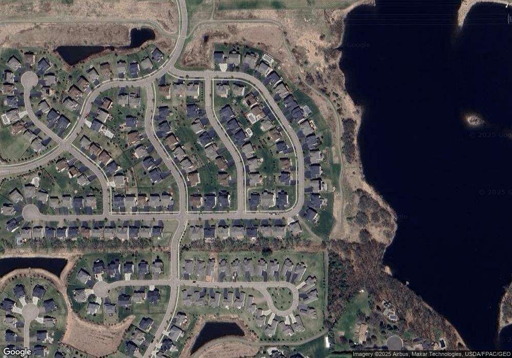
Map
Nearby Homes
- 4764 Ashton Curve
- 4418 Ashton Curve
- 4983 Sunflower Dr
- 9612 Iron Horse Rd
- 5174 Sundial Ln
- 5054 Dale Ridge Rd
- The Somerset 3 Plan at The Villas at Summerhill Woodbury
- The Somerset 4 Plan at The Villas at Summerhill Woodbury
- The Somerset 2 Plan at The Villas at Summerhill Woodbury
- The Somerset 2B Plan at The Villas at Summerhill Woodbury
- The Somerset 1 Plan at The Villas at Summerhill Woodbury
- 5194 Sundial Ln
- 5234 Sundial Ln
- 5237 Windlass Dr
- 9125 Compass Pointe Rd
- 5177 Windlass Dr
- 5025 Sandpebble Ln
- Vanderbilt Plan at Westwind - Landmark Collection
- Springfield Plan at Westwind - Discovery Collection
- Itasca Plan at Westwind - Landmark Collection
- 4789 Foxtail Ln
- 4777 Foxtail Ln
- 4680 Ashton Curve
- 4668 Ashton Curve
- 4596 Ashton Curve
- 4584 Ashton Curve
- 4765 Foxtail Ln
- 4656 Ashton Curve
- 4778 Foxtail Ln
- 4568 Ashton Curve
- 4704 Ashton Curve
- 4766 Foxtail Ln
- 4753 Foxtail Ln
- 4548 Ashton Curve
- 4716 Ashton Curve
- 4667 Ashton Curve
- 4754 Foxtail Ln
- 4679 Ashton Curve
- 4536 Ashton Curve
- 4691 Ashton Curve