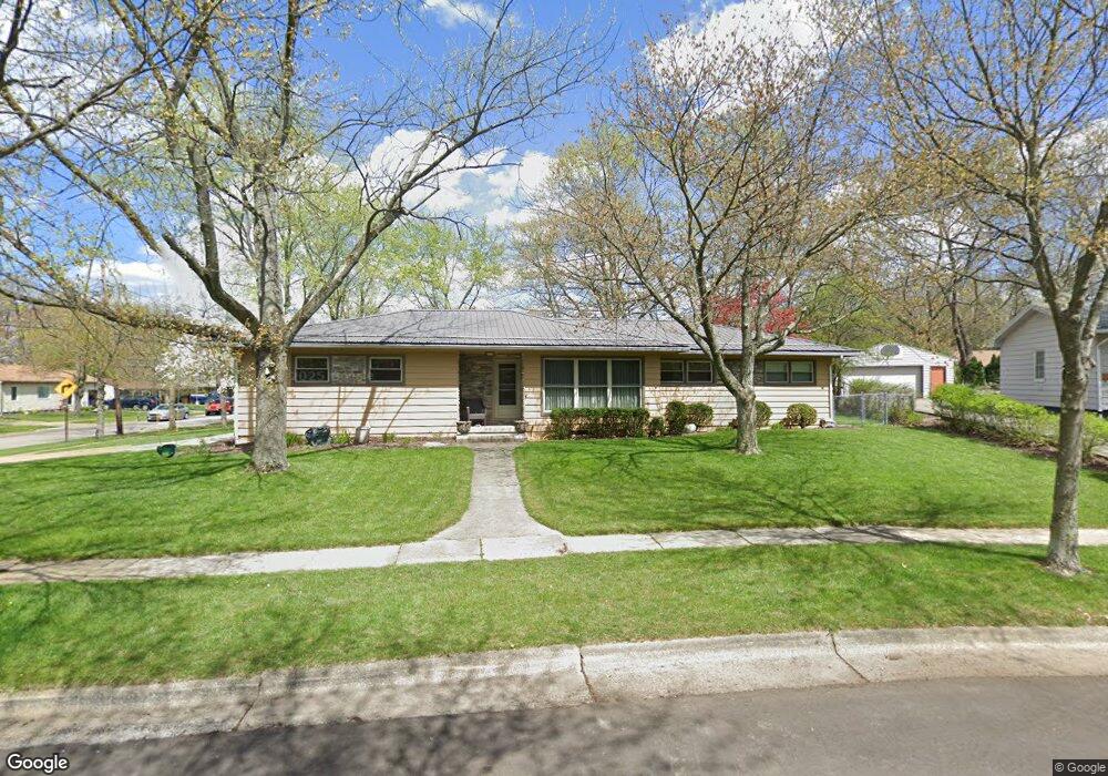
479 Manderly Dr Akron, OH 44313
Northwest Akron NeighborhoodEstimated Value: $202,000 - $236,000
3
Beds
1
Bath
1,227
Sq Ft
$173/Sq Ft
Est. Value
About This Home
This home is located at 479 Manderly Dr, Akron, OH 44313 and is currently estimated at $211,865, approximately $172 per square foot. 479 Manderly Dr is a home located in Summit County with nearby schools including Case Community Learning Center, Summit Academy School, and Our Lady Of The Elms Elementary School.
Ownership History
Date
Name
Owned For
Owner Type
Purchase Details
Closed on
Apr 14, 2012
Sold by
Staubs James K and Staubs Amy L
Bought by
Staubs Amy L
Current Estimated Value
Purchase Details
Closed on
Oct 16, 2000
Sold by
Staubs Beverly and Staubs Douglas
Bought by
Staubs James K and Staubs Amy L
Purchase Details
Closed on
May 15, 2000
Sold by
Staubs Omer O
Bought by
Staubs Omer O and Staubs James
Create a Home Valuation Report for This Property
The Home Valuation Report is an in-depth analysis detailing your home's value as well as a comparison with similar homes in the area
Home Values in the Area
Average Home Value in this Area
Purchase History
| Date | Buyer | Sale Price | Title Company |
|---|---|---|---|
| Staubs Amy L | -- | Attorney | |
| Staubs James K | $78,850 | -- | |
| Staubs Omer O | -- | -- |
Source: Public Records
Tax History
| Year | Tax Paid | Tax Assessment Tax Assessment Total Assessment is a certain percentage of the fair market value that is determined by local assessors to be the total taxable value of land and additions on the property. | Land | Improvement |
|---|---|---|---|---|
| 2024 | $3,078 | $55,962 | $13,412 | $42,550 |
| 2023 | $3,078 | $55,962 | $13,412 | $42,550 |
| 2022 | $2,851 | $38,595 | $9,251 | $29,344 |
| 2021 | $2,854 | $38,595 | $9,251 | $29,344 |
| 2020 | $2,814 | $38,590 | $9,250 | $29,340 |
| 2019 | $2,934 | $36,750 | $8,600 | $28,150 |
| 2018 | $2,897 | $36,750 | $8,600 | $28,150 |
| 2017 | $2,409 | $36,750 | $8,600 | $28,150 |
| 2016 | $2,411 | $31,010 | $8,600 | $22,410 |
| 2015 | $2,409 | $31,010 | $8,600 | $22,410 |
| 2014 | $2,391 | $31,010 | $8,600 | $22,410 |
| 2013 | $2,344 | $31,010 | $8,600 | $22,410 |
Source: Public Records
Map
Nearby Homes
- 335 Melbourne Ave
- 1123 Courtleigh Dr
- 300 Melbourne Ave
- 508 Clearbrook Dr
- 469 Garnette Rd
- 1606 Fairfax Rd
- 1612 Fairfax Rd
- 129 Idlewild St
- 242 N Hawkins Ave
- 1639 Liberty Dr
- 635 N Hawkins Ave
- 1332 Shanabrook Dr
- 1555 W Market St
- 1700 Karg Dr
- 760 Ridgecrest Rd
- 725 N Hawkins Ave
- 80 Devon Ln Unit 101A
- 25 Berkshire Ct Unit 3A
- 1821 Ganyard Rd
- 1804-1808 Cromwell Dr
- 1256 Dewitt Dr
- 471 Manderly Dr
- 1280 Dewitt Dr
- 465 Manderly Dr
- 1263 Dewitt Dr
- 1257 Dewitt Dr
- 1271 Dewitt Dr
- 510 Stonewood Dr
- 502 Stonewood Dr
- 1244 Dewitt Dr
- 464 Manderly Dr
- 494 Stonewood Dr
- 1288 Dewitt Dr
- 457 Manderly Dr
- 1243 Dewitt Dr
- 1285 Dewitt Dr
- 486 Stonewood Dr
- 456 Manderly Dr
- 1235 Dewitt Dr
- 1291 Dewitt Dr
Your Personal Tour Guide
Ask me questions while you tour the home.