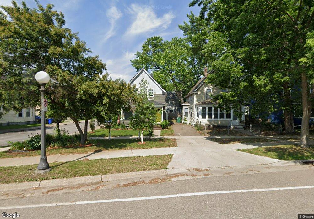
479 Smith Ave N Saint Paul, MN 55102
West Seventh NeighborhoodEstimated Value: $275,000 - $295,000
3
Beds
2
Baths
1,155
Sq Ft
$245/Sq Ft
Est. Value
About This Home
This home is located at 479 Smith Ave N, Saint Paul, MN 55102 and is currently estimated at $283,000, approximately $245 per square foot. 479 Smith Ave N is a home located in Ramsey County with nearby schools including Randolph Heights Elementary School, Hidden River Middle School, and Central Senior High School.
Ownership History
Date
Name
Owned For
Owner Type
Purchase Details
Closed on
May 17, 2018
Sold by
Kampa John John
Bought by
Huneke Jason Jason and Loftsgaarden Ryan Ryan
Current Estimated Value
Purchase Details
Closed on
Apr 16, 2015
Sold by
Kampa Clarence G and Kampa Marie W
Bought by
Kampa John A and Kampa Beverly J
Purchase Details
Closed on
Dec 27, 2007
Sold by
Kampa Clarence G and Kampa Marie W
Bought by
Kampa John A and Kampa Beverly J
Create a Home Valuation Report for This Property
The Home Valuation Report is an in-depth analysis detailing your home's value as well as a comparison with similar homes in the area
Home Values in the Area
Average Home Value in this Area
Purchase History
| Date | Buyer | Sale Price | Title Company |
|---|---|---|---|
| Huneke Jason Jason | $115,000 | -- | |
| Kampa John A | $82,424 | None Available | |
| Kampa John A | $80,000 | -- |
Source: Public Records
Mortgage History
| Date | Status | Borrower | Loan Amount |
|---|---|---|---|
| Closed | Kampa John A | -- |
Source: Public Records
Tax History Compared to Growth
Tax History
| Year | Tax Paid | Tax Assessment Tax Assessment Total Assessment is a certain percentage of the fair market value that is determined by local assessors to be the total taxable value of land and additions on the property. | Land | Improvement |
|---|---|---|---|---|
| 2025 | -- | $241,300 | $20,000 | $221,300 |
| 2023 | $4,444 | $229,800 | $20,000 | $209,800 |
| 2022 | $3,882 | $219,600 | $20,000 | $199,600 |
| 2021 | $3,590 | $190,100 | $20,000 | $170,100 |
| 2020 | $3,726 | $181,700 | $10,500 | $171,200 |
| 2019 | $2,840 | $166,600 | $10,500 | $156,100 |
| 2018 | $2,470 | $130,500 | $10,500 | $120,000 |
| 2017 | $1,632 | $114,800 | $10,500 | $104,300 |
| 2016 | $1,648 | $0 | $0 | $0 |
| 2015 | $1,624 | $76,100 | $10,500 | $65,600 |
| 2014 | -- | $0 | $0 | $0 |
Source: Public Records
Map
Nearby Homes
- 275 Cliff St
- 212 McBoal St
- 89 Douglas St
- 103 Western Ave S
- 398 Banfil St
- 310 Ryan Ave
- 185 Elm St
- 383 Grand Ave Unit 1
- 383 Grand Ave Unit 9
- 360 Sherman St Unit 1607
- 391 Grand Ave Unit 304
- 380 Ramsey St Unit 1B
- 190 Elm St
- 312 Spring St Unit 309
- 175 Sherman St Unit 204
- 283 Irvine Ave
- 294 Spring St
- 256 Spring St Unit 413
- 415 Summit Ave Unit 2
- 442 Summit Ave Unit 4
- 475 Smith Ave N
- 475 475 Smith Ave N
- 473 Smith Ave N
- 233 Banfil St
- 485 Smith Ave N
- 230 Banfil St
- 237 Banfil St
- 469 Smith Ave N
- 232 Banfil St
- 489 Smith Ave N
- 241 Banfil St
- 232 Goodrich Ave
- 463 Smith Ave N
- 244 Banfil St
- 229 Cliff St
- 218 Goodrich Ave
- 236 Goodrich Ave
- 245 Banfil St
- 246 Banfil St
- 240 Goodrich Ave