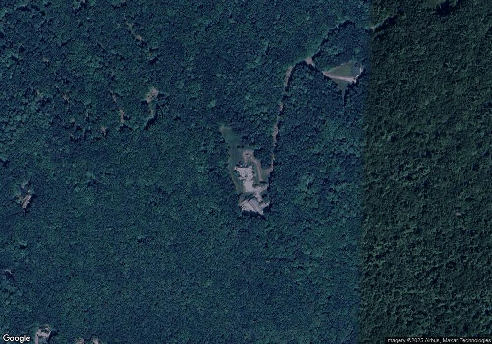
48 Alsun Dr Hollis, NH 03049
Hollis NeighborhoodEstimated Value: $1,123,000 - $1,820,746
4
Beds
4
Baths
4,326
Sq Ft
$319/Sq Ft
Est. Value
About This Home
This home is located at 48 Alsun Dr, Hollis, NH 03049 and is currently estimated at $1,379,915, approximately $318 per square foot. 48 Alsun Dr is a home with nearby schools including Hollis Primary School, Hollis Upper Elementary School, and Hollis-Brookline Middle School.
Ownership History
Date
Name
Owned For
Owner Type
Purchase Details
Closed on
May 12, 2004
Sold by
T Amy
Bought by
Bousquet William and Bousquet Pauline
Current Estimated Value
Create a Home Valuation Report for This Property
The Home Valuation Report is an in-depth analysis detailing your home's value as well as a comparison with similar homes in the area
Home Values in the Area
Average Home Value in this Area
Purchase History
| Date | Buyer | Sale Price | Title Company |
|---|---|---|---|
| Bousquet William | $210,000 | -- |
Source: Public Records
Mortgage History
| Date | Status | Borrower | Loan Amount |
|---|---|---|---|
| Open | Bousquet William | $399,999 | |
| Closed | Bousquet William | $650,000 |
Source: Public Records
Tax History Compared to Growth
Tax History
| Year | Tax Paid | Tax Assessment Tax Assessment Total Assessment is a certain percentage of the fair market value that is determined by local assessors to be the total taxable value of land and additions on the property. | Land | Improvement |
|---|---|---|---|---|
| 2024 | $27,155 | $1,531,569 | $368,969 | $1,162,600 |
| 2023 | $25,517 | $1,531,618 | $369,018 | $1,162,600 |
| 2022 | $34,569 | $1,531,618 | $369,018 | $1,162,600 |
| 2021 | $21,516 | $947,821 | $192,021 | $755,800 |
| 2020 | $21,970 | $947,821 | $192,021 | $755,800 |
| 2019 | $9,134 | $947,772 | $191,972 | $755,800 |
| 2018 | $20,539 | $947,805 | $192,005 | $755,800 |
| 2017 | $21,478 | $927,774 | $169,474 | $758,300 |
| 2016 | $8,506 | $927,774 | $169,474 | $758,300 |
| 2015 | $21,357 | $927,774 | $169,474 | $758,300 |
| 2014 | $21,459 | $927,741 | $169,441 | $758,300 |
| 2013 | $20,933 | $917,307 | $169,507 | $747,800 |
Source: Public Records
Map
Nearby Homes
- 77 Mooar Hill Rd
- 4-13 Woodmont Dr
- 25 Eastern Ave
- 16 Captain Danforth Ln
- 102 Silver Lake Rd
- 6 Veterans Rd Unit 15
- 40-40A Pine Hill Rd
- 172 Hayden Rd
- 3 Wood Ln
- 3 Roedean Dr Unit C-207
- 201 Millwright Dr
- 199 Pine Hill Rd
- 8 Carriage Ln
- 75 Deerwood Dr Unit B
- 5 Dumaine Ave Unit B
- 5 Dumaine Ave Unit N
- 77 Broad St
- 15 Four Winds Rd
- 118 Broad St
- 10 Drouin Way