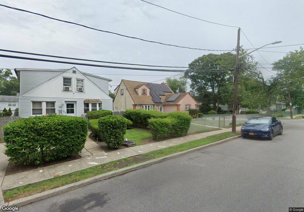
48 Andrews Ave Roosevelt, NY 11575
Estimated Value: $641,854 - $666,000
Studio
3
Baths
1,478
Sq Ft
$442/Sq Ft
Est. Value
About This Home
This home is located at 48 Andrews Ave, Roosevelt, NY 11575 and is currently estimated at $653,927, approximately $442 per square foot. 48 Andrews Ave is a home located in Nassau County with nearby schools including Roosevelt Middle School, Roosevelt High School, and Roosevelt Children's Academy.
Ownership History
Date
Name
Owned For
Owner Type
Purchase Details
Closed on
Aug 2, 2022
Sold by
Blanding Laurette and Blanding Gregory Laurette
Bought by
Blanding Laurette
Current Estimated Value
Home Financials for this Owner
Home Financials are based on the most recent Mortgage that was taken out on this home.
Original Mortgage
$340,862
Outstanding Balance
$324,872
Interest Rate
5.13%
Mortgage Type
New Conventional
Estimated Equity
$329,055
Purchase Details
Closed on
May 4, 1998
Sold by
Memorial Economic Develop Ment
Bought by
Gregory Laurette
Purchase Details
Closed on
Apr 28, 1995
Sold by
Town Of Hempstead
Bought by
Memorial Economic Development Corp
Create a Home Valuation Report for This Property
The Home Valuation Report is an in-depth analysis detailing your home's value as well as a comparison with similar homes in the area
Home Values in the Area
Average Home Value in this Area
Purchase History
| Date | Buyer | Sale Price | Title Company |
|---|---|---|---|
| Blanding Laurette | -- | Timios Inc | |
| Gregory Laurette | $75,000 | -- | |
| Memorial Economic Development Corp | $5,000 | -- | |
| Memorial Economic Development Corp | $5,000 | -- |
Source: Public Records
Mortgage History
| Date | Status | Borrower | Loan Amount |
|---|---|---|---|
| Open | Blanding Laurette | $340,862 |
Source: Public Records
Tax History
| Year | Tax Paid | Tax Assessment Tax Assessment Total Assessment is a certain percentage of the fair market value that is determined by local assessors to be the total taxable value of land and additions on the property. | Land | Improvement |
|---|---|---|---|---|
| 2025 | $9,292 | $373 | $128 | $245 |
| 2024 | $3,892 | $387 | $133 | $254 |
| 2023 | $8,367 | $397 | $136 | $261 |
| 2022 | $8,367 | $396 | $136 | $260 |
| 2021 | $6,936 | $374 | $128 | $246 |
| 2020 | $5,897 | $408 | $248 | $160 |
| 2019 | $2,777 | $408 | $248 | $160 |
| 2018 | $2,843 | $408 | $0 | $0 |
| 2017 | $2,800 | $434 | $234 | $200 |
| 2016 | $5,521 | $459 | $223 | $236 |
| 2015 | $2,904 | $485 | $235 | $250 |
| 2014 | $2,904 | $485 | $235 | $250 |
| 2013 | $2,898 | $511 | $248 | $263 |
Source: Public Records
Map
Nearby Homes
- 76 Cumberland Ave
- 49 Elizabeth St
- 9 Bainbridge St
- 49 Prospect St
- 25 Bainbridge St
- 400 N Columbus Ave
- 188 Woodside Ave
- 86 Decatur St
- 85 Bedford Ave
- 173 E Seaman Ave
- 247 N Columbus Ave
- 16 Scherer Place
- 10 Sheridan Place
- 150 Stevens St
- 72 Woodside Ave
- 1772 Rose St
- 171 Ellison Ave
- 119 E Fulton Ave
- 1721 Michael William Rd
- 221 E Dean St
Your Personal Tour Guide
Ask me questions while you tour the home.