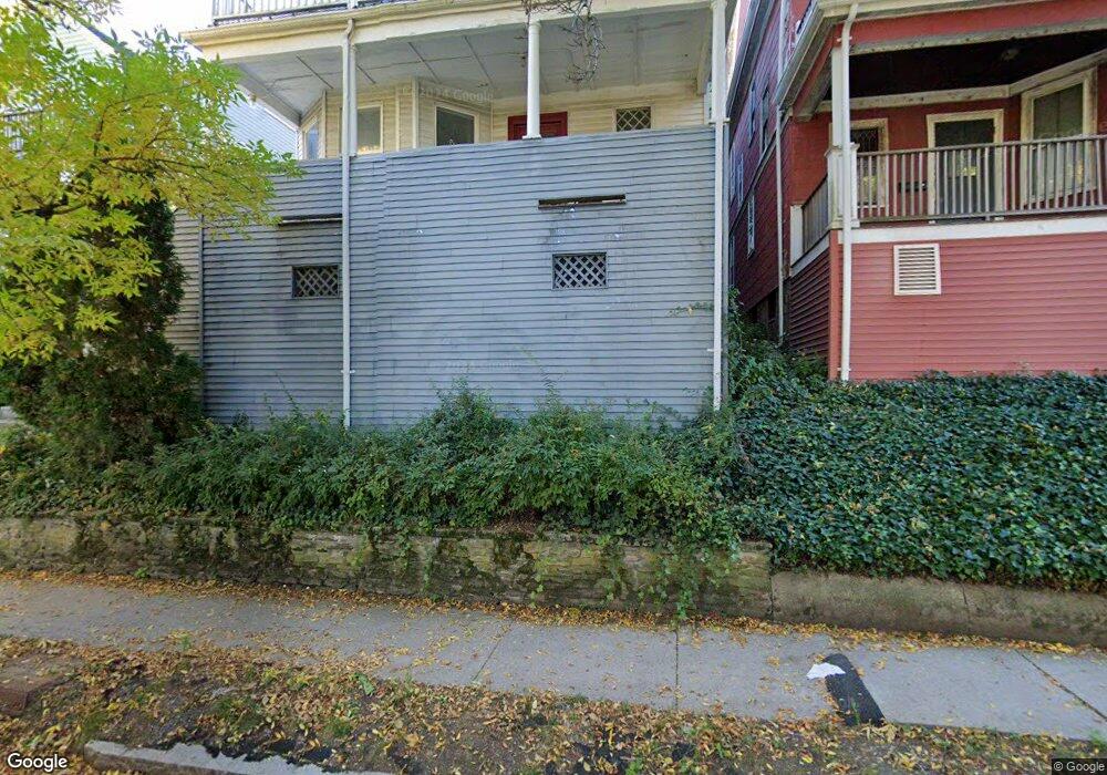
48 Atherton Rd Unit 1 Brookline, MA 02446
Washington Square NeighborhoodEstimated Value: $1,969,000 - $2,661,339
4
Beds
3
Baths
--
Sq Ft
3,136
Sq Ft Lot
About This Home
This home is located at 48 Atherton Rd Unit 1, Brookline, MA 02446 and is currently estimated at $2,334,085. 48 Atherton Rd Unit 1 is a home located in Norfolk County with nearby schools including Match Charter Public School and Torah Academy.
Ownership History
Date
Name
Owned For
Owner Type
Purchase Details
Closed on
Aug 10, 2018
Sold by
Tow Randolph B and Tow Susan P
Bought by
48 Atherton Llc
Current Estimated Value
Purchase Details
Closed on
Sep 8, 2005
Sold by
Gilman Ft
Bought by
Tow Cynthia M and Tow Randolph B
Home Financials for this Owner
Home Financials are based on the most recent Mortgage that was taken out on this home.
Original Mortgage
$820,000
Interest Rate
5.79%
Mortgage Type
Purchase Money Mortgage
Create a Home Valuation Report for This Property
The Home Valuation Report is an in-depth analysis detailing your home's value as well as a comparison with similar homes in the area
Home Values in the Area
Average Home Value in this Area
Purchase History
| Date | Buyer | Sale Price | Title Company |
|---|---|---|---|
| 48 Atherton Llc | -- | -- | |
| Tow Cynthia M | $868,000 | -- |
Source: Public Records
Mortgage History
| Date | Status | Borrower | Loan Amount |
|---|---|---|---|
| Previous Owner | Tow Cynthia M | $820,000 |
Source: Public Records
Tax History Compared to Growth
Tax History
| Year | Tax Paid | Tax Assessment Tax Assessment Total Assessment is a certain percentage of the fair market value that is determined by local assessors to be the total taxable value of land and additions on the property. | Land | Improvement |
|---|---|---|---|---|
| 2025 | $18,017 | $1,825,400 | $1,075,100 | $750,300 |
| 2024 | $17,603 | $1,801,700 | $1,030,700 | $771,000 |
| 2023 | $17,755 | $1,780,800 | $935,400 | $845,400 |
| 2022 | $17,282 | $1,696,000 | $890,900 | $805,100 |
| 2021 | $15,982 | $1,630,800 | $856,600 | $774,200 |
| 2020 | $14,850 | $1,571,400 | $768,600 | $802,800 |
| 2019 | $14,023 | $1,496,600 | $732,000 | $764,600 |
| 2018 | $12,549 | $1,326,500 | $597,300 | $729,200 |
| 2017 | $12,132 | $1,227,900 | $563,400 | $664,500 |
| 2016 | $11,632 | $1,116,300 | $526,500 | $589,800 |
| 2015 | $10,838 | $1,014,800 | $492,100 | $522,700 |
| 2014 | $10,022 | $879,900 | $411,600 | $468,300 |
Source: Public Records
Map
Nearby Homes
- 138 Mason Terrace Unit 1
- 15 Short St Unit 4
- 93 Centre St Unit 2
- 188 Mason Terrace Unit 188
- 186 Mason Terrace Unit 186
- 19 Winchester St Unit 110
- 107 Centre St Unit A
- 1471 Beacon St Unit 7
- 1471 Beacon St Unit 1
- 89 Marion St
- 373 Harvard St Unit 1
- 80 Vernon St Unit 1-A
- 80 Vernon St Unit 2B
- 80 Vernon St Unit PHA
- 80 Vernon St Unit 3A
- 80 Vernon St Unit 3B
- 1521 Beacon St Unit 1
- 29 Mason Terrace
- 10 Bradford Terrace Unit 5
- 589-591 Washington St
- 48 Atherton Rd
- 48 Atherton Rd
- 44 Atherton Rd
- 44 Atherton Rd Unit 2
- 44 Atherton Rd Unit 1
- 54 Atherton Rd
- 54 Atherton Rd Unit 2
- 50 Atherton Rd
- 40 Atherton Rd
- 40 Atherton Rd
- 40 Atherton Rd Unit 2
- 40 Atherton Rd Unit 1
- 139 Mason Terrace Unit 2
- 139 Mason Terrace Unit 1
- 45 Atherton Rd Unit 3
- 45 Atherton Rd Unit 2
- 45 Atherton Rd
- 135 Mason Terrace
- 135 Mason Terrace Unit 2
- 36 Atherton Rd Unit 2