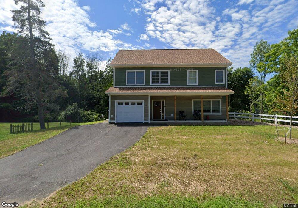
48 Bagdad Rd Durham, NH 03824
Estimated Value: $630,000 - $939,838
5
Beds
5
Baths
2,627
Sq Ft
$315/Sq Ft
Est. Value
About This Home
This home is located at 48 Bagdad Rd, Durham, NH 03824 and is currently estimated at $828,460, approximately $315 per square foot. 48 Bagdad Rd is a home located in Strafford County with nearby schools including Mast Way School, Oyster River Middle School, and Oyster River High School.
Ownership History
Date
Name
Owned For
Owner Type
Purchase Details
Closed on
Jan 30, 2026
Sold by
Shirley Wayne
Bought by
Everngam Marcus
Current Estimated Value
Purchase Details
Closed on
Apr 25, 2023
Sold by
White Charles P
Bought by
Everngam Marcus K
Home Financials for this Owner
Home Financials are based on the most recent Mortgage that was taken out on this home.
Original Mortgage
$750,000
Interest Rate
6.6%
Mortgage Type
Purchase Money Mortgage
Purchase Details
Closed on
Sep 11, 2009
Sold by
Shirley A Thompson Ret and Thompson
Bought by
Seaman Jayson and Seaman Kimberly N
Home Financials for this Owner
Home Financials are based on the most recent Mortgage that was taken out on this home.
Original Mortgage
$328,500
Interest Rate
5.36%
Mortgage Type
Purchase Money Mortgage
Create a Home Valuation Report for This Property
The Home Valuation Report is an in-depth analysis detailing your home's value as well as a comparison with similar homes in the area
Home Values in the Area
Average Home Value in this Area
Purchase History
| Date | Buyer | Sale Price | Title Company |
|---|---|---|---|
| Everngam Marcus | $10,933 | -- | |
| Everngam Marcus K | $125,000 | None Available | |
| Everngam Marcus | $125,000 | None Available | |
| Seaman Jayson | $110,000 | -- |
Source: Public Records
Mortgage History
| Date | Status | Borrower | Loan Amount |
|---|---|---|---|
| Previous Owner | Everngam Marcus | $750,000 | |
| Previous Owner | Seaman Jayson | $308,000 | |
| Previous Owner | Seaman Jayson | $320,000 | |
| Previous Owner | Seaman Jayson | $328,500 |
Source: Public Records
Tax History
| Year | Tax Paid | Tax Assessment Tax Assessment Total Assessment is a certain percentage of the fair market value that is determined by local assessors to be the total taxable value of land and additions on the property. | Land | Improvement |
|---|---|---|---|---|
| 2024 | $14,361 | $706,400 | $196,900 | $509,500 |
| 2023 | $8,632 | $421,500 | $272,700 | $148,800 |
| 2022 | $5,616 | $193,400 | $111,100 | $82,300 |
| 2021 | $5,398 | $193,400 | $111,100 | $82,300 |
| 2020 | $5,363 | $193,400 | $111,100 | $82,300 |
| 2019 | $5,305 | $193,400 | $111,100 | $82,300 |
| 2018 | $5,183 | $193,400 | $111,100 | $82,300 |
| 2017 | $5,298 | $172,900 | $91,900 | $81,000 |
| 2016 | $5,140 | $172,900 | $91,900 | $81,000 |
| 2015 | $5,161 | $172,900 | $91,900 | $81,000 |
| 2014 | $5,277 | $172,900 | $91,900 | $81,000 |
| 2013 | $5,258 | $172,900 | $91,900 | $81,000 |
Source: Public Records
Map
Nearby Homes
- 9 Bucks Hill Rd
- 59 Bucks Hill Rd
- 25 Emerson Rd
- 1014 Strafford Ave
- 10 Young Dr
- 9 Young Dr
- 21 Park Ct
- 140 Madbury Rd
- 275-279 Mast Rd
- 0 Beech Hill Rd Unit 201-02-0-0-0,204-10-
- 1 Riverview Ct
- 4 Ffrost Dr
- 23 Riverview Rd
- 260-262 Mast Rd
- 24 Garrison Ln
- 320 Knox Marsh Rd
- 167 Drew Rd
- 21 Spruce Ln
- 13 Spruce Dr
- 64 Danielle Ln
- 46 Bagdad Rd
- 50 Bagdad Rd
- 51 Emerson Rd
- 53 Bagdad Rd
- 43 Bagdad Rd Unit B
- 43 Bagdad Rd Unit A
- 38 Bagdad Rd
- 40 Bagdad (Fka 38 Bagdad)
- 49 Emerson Rd
- 46 Emerson Rd Unit C
- 46 Emerson Rd Unit A
- 46B Emerson Rd Unit A
- 46 Emerson Rd
- 46B Emerson Rd Unit A/B
- 46D Emerson Rd
- 46 Emerson Rd Unit C & D
- 46 Emerson Rd Unit A & B
- 48 Emerson Rd
- 45 Bagdad Rd
- 52 Bagdad Rd
Your Personal Tour Guide
Ask me questions while you tour the home.